Property Record
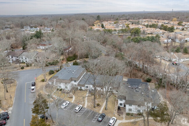
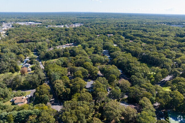
Birchwood Rd, Coram, NY 11727
NEARBY LISTINGS FOR SALE OR LEASE
-
-
View all Coram listings for sale on LoopNet.com
Property Detail
Birchwood Rd
Nassau County-Suffolk County, NY
N PAULS PATH & ORS T-107 E CARCHI &
0200-476-00-01-00-029-001
Suffolk
Residentialacreage
New York
X
29
36103C0685H
8.60 AC
0
Coram
2024
Long Island (New York)
158325
DEMOGRAPHICS near Birchwood Rd
1 Mile
3 Mile
5 Mile
2024 Total Population
8,878
83,779
195,282
2029 Population
8,766
82,318
192,276
Pop Growth 2024-2029
(1.26%)
(1.74%)
(1.54%)
Average Age
42
41
41
2024 Total Households
3,828
28,615
66,679
HH Growth 2024-2029
(1.38%)
(2.02%)
(1.76%)
Median Household Inc
$77,026
$97,680
$106,801
Avg Household Size
2.30
2.80
2.80
2024 Avg HH Vehicles
2.00
2.00
2.00
Median Home Value
$253,926
$385,181
$418,061
Median Year Built
1982
1975
1975
Nearby Places
- Restaurants
- Banks
- Shops
- Fitness
- Groceries
PUBLIC TRANSPORTATION
COMMUTER RAIL
Medford Station (Greenport Branch - Long Island Rail Road)
DRIVE
WALK
Distance
Medford Station (Greenport Branch - Long Island Rail Road)
8 min
4.0 mi
Port Jefferson Station (Port Jefferson Branch - Long Island Rail Road)
DRIVE
WALK
Distance
Port Jefferson Station (Port Jefferson Branch - Long Island Rail Road)
12 min
6.2 mi
AIRPORT
Long Island MacArthur
DRIVE
WALK
Distance
Long Island MacArthur
22 min
12.7 mi
Tweed/New Haven
DRIVE
WALK
Distance
Tweed/New Haven
128 min
47.3 mi
Freight Ports
Port of New Haven
DRIVE
WALK
Distance
Port of New Haven
123 min
44.5 mi
Nearby Properties
Address
Land Use
TOTAL SIZE
Lot Size
Zoning
Address
Land Use
TOTAL SIZE
Lot Size
Zoning
26,576 SF
2.30 AC
LI40
Address
Land Use
TOTAL SIZE
Lot Size
Zoning
25.90 AC
Address
Land Use
TOTAL SIZE
Lot Size
Zoning
140.10 AC
Address
Land Use
TOTAL SIZE
Lot Size
Zoning
21,554 SF
1.03 AC
HC
Address
Land Use
TOTAL SIZE
Lot Size
Zoning
3,879 SF
0.57 AC
R1
Address
Land Use
TOTAL SIZE
Lot Size
Zoning
5,530 SF
0.44 AC
R1
Address
Land Use
TOTAL SIZE
Lot Size
Zoning
Address
Land Use
TOTAL SIZE
Lot Size
Zoning
31.33 AC
Address
Land Use
TOTAL SIZE
Lot Size
Zoning
21.04 AC
Address
Land Use
TOTAL SIZE
Lot Size
Zoning
Address
Land Use
TOTAL SIZE
Lot Size
Zoning
47.20 AC
Address
Land Use
TOTAL SIZE
Lot Size
Zoning
12.47 AC
Address
Land Use
TOTAL SIZE
Lot Size
Zoning
0.53 AC
R20
Address
Land Use
TOTAL SIZE
Lot Size
Zoning
Address
Land Use
TOTAL SIZE
Lot Size
Zoning
34.53 AC
Address
Land Use
TOTAL SIZE
Lot Size
Zoning
38.42 AC
Address
Land Use
TOTAL SIZE
Lot Size
Zoning
27.75 AC
Address
Land Use
TOTAL SIZE
Lot Size
Zoning
18.50 AC
Address
Land Use
TOTAL SIZE
Lot Size
Zoning
22.45 AC
Address
Land Use
TOTAL SIZE
Lot Size
Zoning
23.35 AC
Address
Land Use
TOTAL SIZE
Lot Size
Zoning
Address
Land Use
TOTAL SIZE
Lot Size
Zoning
23.85 AC
Address
Land Use
TOTAL SIZE
Lot Size
Zoning
27.55 AC
Address
Land Use
TOTAL SIZE
Lot Size
Zoning
16.50 AC
Address
Land Use
TOTAL SIZE
Lot Size
Zoning
Address
Land Use
TOTAL SIZE
Lot Size
Zoning
14.11 AC
Address
Land Use
TOTAL SIZE
Lot Size
Zoning
23.91 AC
Address
Land Use
TOTAL SIZE
Lot Size
Zoning
Address
Land Use
TOTAL SIZE
Lot Size
Zoning
25.30 AC
Address
Land Use
TOTAL SIZE
Lot Size
Zoning
The World's #1 Commercial Real Estate Marketplace
Connect with us
© 2025 CoStar Group
The information above has been obtained from sources believed reliable. While we do not doubt its accuracy we have not verified it and make no guarantee, warranty or representation about it. It is your responsibility to independently confirm its accuracy and completeness. Any projections, opinions, assumptions, or estimates used are for example only and do not represent the current or future performance of the property. The value of this transaction to you depends on tax and other factors which should be evaluated by your tax, financial, and legal advisors. You and your advisors should conduct a careful, independent investigation of the property to determine to your satisfaction the suitability of the property for your needs.