Property Record
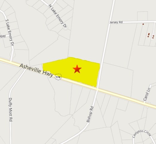
Bishop Rd, Inman, SC 29349


Property Detail
Bishop Rd
Spartanburg, SC
PO LOT 8 R O MONK EST PB 16-29 PB 169-511 PB 169-513 DB 110E-250 PB 172-968-969 SPTBG CO R/W TAKE
2-42-00-011.01
SPARTANBURG
Commercialacreage
South Carolina
B and X Area of moderate flood hazard, usually the area between the limits of the 100-year and 500-year floods.
8
2024
6.10 AC
2025
Upper Spartanburg County
022804
Greenville/Spartanburg
NEARBY LISTINGS FOR SALE OR LEASE
DEMOGRAPHICS near Bishop Rd
1 mile
3 mile
5 mile
2025 Total Population
2,696
21,283
56,643
2030 Population
3,036
23,809
63,247
Pop Growth 2025-2030
+ 12.61%
+ 11.87%
+ 11.66%
Average Age
40
39
39
2025 Total Households
1,046
7,957
20,746
HH Growth 2025-2030
+ 12.81%
+ 12.03%
+ 11.85%
Median Household Inc
$64,005
$68,261
$71,391
Avg Household Size
2.50
2.60
2.60
2025 Avg HH Vehicles
2.00
2.00
2.00
Median Home Value
$254,671
$253,437
$259,985
Median Year Built
1994
1992
1996
Nearby Places
Map Layers
Map Styles
 Street
 Aerial
Transit
 Traffic
 Biking
Places
Listings with unknown addresses are not visible on the map
- Restaurants
- Banks
- Shops
- Fitness
- Groceries
PUBLIC TRANSPORTATION
COMMUTER RAIL
Spartanburg Amtrak Station (Crescent - Amtrak)
Drive
Walk
Distance
Spartanburg Amtrak Station (Crescent - Amtrak)
16 min
9.2 mi
AIRPORT
Greenville Spartanburg International
Drive
Walk
Distance
Greenville Spartanburg International
28 min
20.2 mi
Freight Ports
North Charleston Terminal
Drive
Walk
Distance
North Charleston Terminal
224 min
200.9 mi
Nearby Properties
Address
Land Use
TOTAL SIZE
Lot Size
Zoning
Address
Land Use
TOTAL SIZE
Lot Size
Zoning
4,172 SF
15.98 AC
Address
Land Use
TOTAL SIZE
Lot Size
Zoning
341,895 SF
31.62 AC
Address
Land Use
TOTAL SIZE
Lot Size
Zoning
7,000 SF
3 AC
Address
Land Use
TOTAL SIZE
Lot Size
Zoning
17,971 SF
39.35 AC
Address
Land Use
TOTAL SIZE
Lot Size
Zoning
4,283 SF
0.50 AC
Address
Land Use
TOTAL SIZE
Lot Size
Zoning
15,130 SF
7.17 AC
Address
Land Use
TOTAL SIZE
Lot Size
Zoning
131,113 SF
15.34 AC
Address
Land Use
TOTAL SIZE
Lot Size
Zoning
4,751 SF
0.79 AC
Address
Land Use
TOTAL SIZE
Lot Size
Zoning
4,260 SF
0.66 AC
Address
Land Use
TOTAL SIZE
Lot Size
Zoning
4,294 SF
0.81 AC
Address
Land Use
TOTAL SIZE
Lot Size
Zoning
2,649 SF
3.62 AC
Address
Land Use
TOTAL SIZE
Lot Size
Zoning
52,719 SF
7.40 AC
Address
Land Use
TOTAL SIZE
Lot Size
Zoning
3,001 SF
0.18 AC
Address
Land Use
TOTAL SIZE
Lot Size
Zoning
4,332 SF
1.06 AC
Address
Land Use
TOTAL SIZE
Lot Size
Zoning
4,491 SF
0.58 AC
Address
Land Use
TOTAL SIZE
Lot Size
Zoning
2,828 SF
2.85 AC
Address
Land Use
TOTAL SIZE
Lot Size
Zoning
4,472 SF
2.96 AC
Address
Land Use
TOTAL SIZE
Lot Size
Zoning
2,941 SF
0.19 AC
Address
Land Use
TOTAL SIZE
Lot Size
Zoning
3,054 SF
25.64 AC
Address
Land Use
TOTAL SIZE
Lot Size
Zoning
2,807 SF
0.55 AC
Address
Land Use
TOTAL SIZE
Lot Size
Zoning
73,422 SF
5.68 AC
Address
Land Use
TOTAL SIZE
Lot Size
Zoning
2,992 SF
22.40 AC
Address
Land Use
TOTAL SIZE
Lot Size
Zoning
2,760 SF
0.11 AC
Address
Land Use
TOTAL SIZE
Lot Size
Zoning
3,585 SF
0.53 AC
Address
Land Use
TOTAL SIZE
Lot Size
Zoning
14,392 SF
31.78 AC
Address
Land Use
TOTAL SIZE
Lot Size
Zoning
3,629 SF
0.23 AC
Address
Land Use
TOTAL SIZE
Lot Size
Zoning
41.18 AC
Address
Land Use
TOTAL SIZE
Lot Size
Zoning
1,912 SF
0.15 AC
Address
Land Use
TOTAL SIZE
Lot Size
Zoning
2,796 SF
0.21 AC
Address
Land Use
TOTAL SIZE
Lot Size
Zoning
2,690 SF
0.35 AC
The World's #1 Commercial Real Estate Marketplace
Connect with us
© 2026 CoStar Group
The information above has been obtained from sources believed reliable. While we do not doubt its accuracy we have not verified it and make no guarantee, warranty or representation about it. It is your responsibility to independently confirm its accuracy and completeness. Any projections, opinions, assumptions, or estimates used are for example only and do not represent the current or future performance of the property. The value of this transaction to you depends on tax and other factors which should be evaluated by your tax, financial, and legal advisors. You and your advisors should conduct a careful, independent investigation of the property to determine to your satisfaction the suitability of the property for your needs.