Property Record
Blairs Ferry Rd, Hiawatha, IA 52233


NEARBY LISTINGS FOR SALE OR LEASE
Property Detail
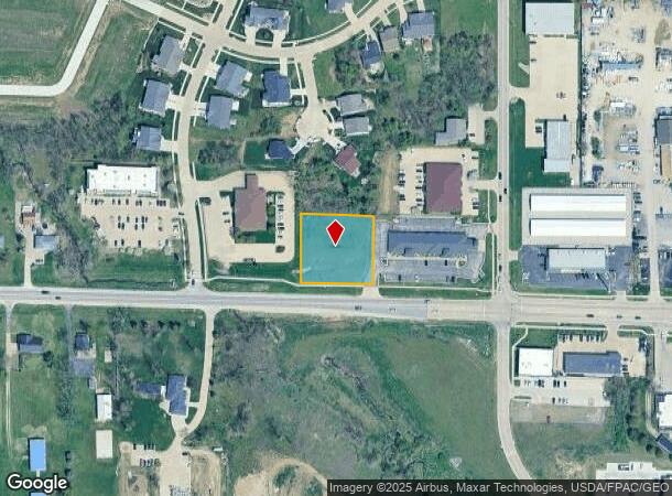
Blairs Ferry Rd
Cedar Rapids, IA
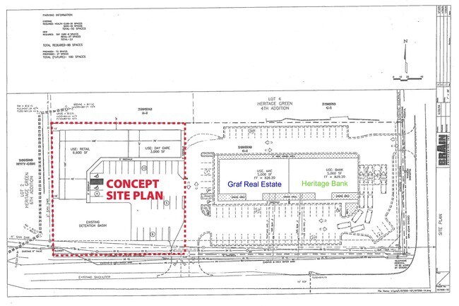
Heritage Bank 1St
14061-27040-00000
HERITAGE BANK 1ST LOT 2
Commercialnec
Linn
X
Iowa
19113C0287E
2
2024
0.79 AC
2025
Iowa City/Waterloo
000205
Other Market Areas
DEMOGRAPHICS near Blairs Ferry Rd
1 mile
3 mile
5 mile
2024 Total Population
6,057
34,284
108,870
2029 Population
6,007
34,116
108,522
Pop Growth 2024-2029
(0.83%)
(0.49%)
(0.32%)
Average Age
41
41
40
2024 Total Households
2,329
14,557
45,619
HH Growth 2024-2029
(0.94%)
(0.56%)
(0.32%)
Median Household Inc
$78,884
$73,712
$66,868
Avg Household Size
2.50
2.30
2.30
2024 Avg HH Vehicles
2.00
2.00
2.00
Median Home Value
$240,393
$211,353
$183,972
Median Year Built
1990
1981
1973
Nearby Places
Map Layers
Map Styles
 Street
 Aerial
Transit
 Traffic
 Biking
Places
Listings with unknown addresses are not visible on the map
- Restaurants
- Banks
- Shops
- Fitness
- Groceries
PUBLIC TRANSPORTATION
AIRPORT
The Eastern Iowa
Drive
Walk
Distance
The Eastern Iowa
20 min
11.0 mi
SALE & LEASE HISTORY
LISTING DATE
SALE/LEASE

Aug 31, 2018
For Sale
Aug 30, 2018
For Sale
Apr 10, 2021
For Sale
Nearby Properties
Address
Land Use
TOTAL SIZE
Lot Size
Zoning
Address
Land Use
TOTAL SIZE
Lot Size
Zoning
97,940 SF
52.22 AC
Address
Land Use
TOTAL SIZE
Lot Size
Zoning
103,528 SF
18.54 AC
Address
Land Use
TOTAL SIZE
Lot Size
Zoning
140,672 SF
15.99 AC
Address
Land Use
TOTAL SIZE
Lot Size
Zoning
189,595 SF
19.12 AC
Address
Land Use
TOTAL SIZE
Lot Size
Zoning
34,710 SF
3.30 AC
Address
Land Use
TOTAL SIZE
Lot Size
Zoning
69,683 SF
24.78 AC
Address
Land Use
TOTAL SIZE
Lot Size
Zoning
61,291 SF
35.88 AC
Address
Land Use
TOTAL SIZE
Lot Size
Zoning
90,345 SF
40 AC
Address
Land Use
TOTAL SIZE
Lot Size
Zoning
67,108 SF
4.81 AC
Address
Land Use
TOTAL SIZE
Lot Size
Zoning
225,076 SF
17.04 AC
Address
Land Use
TOTAL SIZE
Lot Size
Zoning
70,158 SF
3.76 AC
Address
Land Use
TOTAL SIZE
Lot Size
Zoning
6,516 SF
62.29 AC
Address
Land Use
TOTAL SIZE
Lot Size
Zoning
173,941 SF
15.45 AC
Address
Land Use
TOTAL SIZE
Lot Size
Zoning
44,544 SF
7.11 AC
Address
Land Use
TOTAL SIZE
Lot Size
Zoning
60,616 SF
8.40 AC
Address
Land Use
TOTAL SIZE
Lot Size
Zoning
61,505 SF
28.08 AC
Address
Land Use
TOTAL SIZE
Lot Size
Zoning
2,041,280 SF
99 AC
Address
Land Use
TOTAL SIZE
Lot Size
Zoning
36,328 SF
4.40 AC
Address
Land Use
TOTAL SIZE
Lot Size
Zoning
98,080 SF
8.09 AC
Address
Land Use
TOTAL SIZE
Lot Size
Zoning
23,800 SF
65.76 AC
Address
Land Use
TOTAL SIZE
Lot Size
Zoning
36,464 SF
9.02 AC
Address
Land Use
TOTAL SIZE
Lot Size
Zoning
83,312 SF
11.36 AC
Address
Land Use
TOTAL SIZE
Lot Size
Zoning
135,941 SF
15.67 AC
Address
Land Use
TOTAL SIZE
Lot Size
Zoning
22,794 SF
99 AC
Address
Land Use
TOTAL SIZE
Lot Size
Zoning
204,266 SF
17.97 AC
Address
Land Use
TOTAL SIZE
Lot Size
Zoning
130,752 SF
26.02 AC
Address
Land Use
TOTAL SIZE
Lot Size
Zoning
76,762 SF
6.46 AC
Address
Land Use
TOTAL SIZE
Lot Size
Zoning
24,632 SF
3.36 AC
Address
Land Use
TOTAL SIZE
Lot Size
Zoning
54,096 SF
13.95 AC
Address
Land Use
TOTAL SIZE
Lot Size
Zoning
7,852 SF
30.03 AC
The World's #1 Commercial Real Estate Marketplace
Connect with us
© 2026 CoStar Group
The information above has been obtained from sources believed reliable. While we do not doubt its accuracy we have not verified it and make no guarantee, warranty or representation about it. It is your responsibility to independently confirm its accuracy and completeness. Any projections, opinions, assumptions, or estimates used are for example only and do not represent the current or future performance of the property. The value of this transaction to you depends on tax and other factors which should be evaluated by your tax, financial, and legal advisors. You and your advisors should conduct a careful, independent investigation of the property to determine to your satisfaction the suitability of the property for your needs.