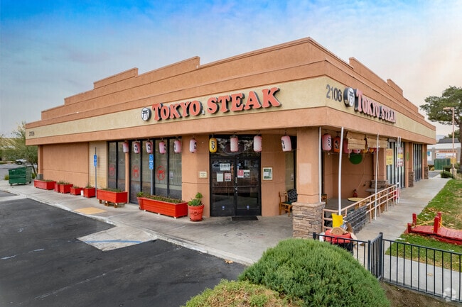
Property Record
Blvd/20Th Ste, Palmdale, CA 93550


Property Detail
Blvd/20Th Ste
Los Angeles-Long Beach-Glendale, CA
FOR DESC SEE ASSESSORS MAPS POR OF LOT 2 IN W 1/2 OF SW 1/4 OF SEC 30 T6N R11W
3018-028-039
LOS ANGELES
Residentialacreage
California
PDR1*
2
C and X Area of minimal flood hazard, usually depicted on FIRMs as above the 500-year flood level.
1.24 AC
2024
Antelope Valley
2025
Los Angeles
910504
NEARBY LISTINGS FOR SALE OR LEASE
DEMOGRAPHICS near Blvd/20Th Ste
1 mile
3 mile
5 mile
2025 Total Population
14,284
96,451
146,854
2030 Population
14,071
96,285
146,130
Pop Growth 2025-2030
(1.49%)
(0.17%)
(0.49%)
Average Age
36
36
36
2025 Total Households
4,113
27,729
41,363
HH Growth 2025-2030
(1.65%)
(0.15%)
(0.54%)
Median Household Inc
$59,927
$65,201
$74,347
Avg Household Size
3.40
3.40
3.50
2025 Avg HH Vehicles
2.00
2.00
2.00
Median Home Value
$348,717
$390,687
$433,020
Median Year Built
1980
1985
1987
Nearby Places
Map Layers
Map Styles
 Street
 Aerial
Transit
 Traffic
 Biking
Places
Listings with unknown addresses are not visible on the map
- Restaurants
- Banks
- Shops
- Fitness
- Groceries
PUBLIC TRANSPORTATION
COMMUTER RAIL
Palmdale (Antelope Valley Line - Southern California Regional Rail Authority (Metrolink))
Drive
Walk
Distance
Palmdale (Antelope Valley Line - Southern California Regional Rail Authority (Metrolink))
4 min
2.5 mi
Vincent Grade/Acton (Antelope Valley Line - Southern California Regional Rail Authority (Metrolink))
Drive
Walk
Distance
Vincent Grade/Acton (Antelope Valley Line - Southern California Regional Rail Authority (Metrolink))
12 min
7.2 mi
Freight Ports
Port of Long Beach
Drive
Walk
Distance
Port of Long Beach
103 min
85.6 mi
Nearby Properties
Address
Land Use
TOTAL SIZE
Lot Size
Zoning
Address
Land Use
TOTAL SIZE
Lot Size
Zoning
2,861,890 SF
528.69 AC
POMA-A25*
Address
Land Use
TOTAL SIZE
Lot Size
Zoning
167,366 SF
15.36 AC
PDC3
Address
Land Use
TOTAL SIZE
Lot Size
Zoning
172,894 SF
14.26 AC
PDC3*
Address
Land Use
TOTAL SIZE
Lot Size
Zoning
50,735 SF
PDCPD
Address
Land Use
TOTAL SIZE
Lot Size
Zoning
101,172 SF
10.22 AC
PDR1*
Address
Land Use
TOTAL SIZE
Lot Size
Zoning
103,503 SF
3.61 AC
PDC2
Address
Land Use
TOTAL SIZE
Lot Size
Zoning
221,827 SF
14.90 AC
PDRPD10U-R
Address
Land Use
TOTAL SIZE
Lot Size
Zoning
157,021 SF
PDRN4
Address
Land Use
TOTAL SIZE
Lot Size
Zoning
209,328 SF
6.35 AC
PDC3-RPD15
Address
Land Use
TOTAL SIZE
Lot Size
Zoning
71,394 SF
2.93 AC
PDCPD*
Address
Land Use
TOTAL SIZE
Lot Size
Zoning
76,609 SF
3.61 AC
PDM2
Address
Land Use
TOTAL SIZE
Lot Size
Zoning
2,908,124 SF
126.15 AC
LCM21/2*
Address
Land Use
TOTAL SIZE
Lot Size
Zoning
144,471 SF
12.96 AC
PDCPD-MPD*
Address
Land Use
TOTAL SIZE
Lot Size
Zoning
80,981 SF
7.11 AC
PDC3
Address
Land Use
TOTAL SIZE
Lot Size
Zoning
55,079 SF
1.98 AC
PDCPD*
Address
Land Use
TOTAL SIZE
Lot Size
Zoning
71,974 SF
3.83 AC
PDCPD*
Address
Land Use
TOTAL SIZE
Lot Size
Zoning
207,582 SF
18.74 AC
PDR1*
Address
Land Use
TOTAL SIZE
Lot Size
Zoning
115,800 SF
11.51 AC
PDCPD-MPD*
Address
Land Use
TOTAL SIZE
Lot Size
Zoning
81,790 SF
5.70 AC
PDR1*
Address
Land Use
TOTAL SIZE
Lot Size
Zoning
78,176 SF
6.11 AC
PDR1*
Address
Land Use
TOTAL SIZE
Lot Size
Zoning
108,762 SF
4.22 AC
PDR3
Address
Land Use
TOTAL SIZE
Lot Size
Zoning
81,512 SF
4.25 AC
PDR1*
Address
Land Use
TOTAL SIZE
Lot Size
Zoning
67,560 SF
5.12 AC
PDR1*
Address
Land Use
TOTAL SIZE
Lot Size
Zoning
63,944 SF
2.33 AC
PDR1-7000
Address
Land Use
TOTAL SIZE
Lot Size
Zoning
171,078 SF
10.26 AC
PDR3DP*
Address
Land Use
TOTAL SIZE
Lot Size
Zoning
43,898 SF
4 AC
PDR1*
Address
Land Use
TOTAL SIZE
Lot Size
Zoning
47,826 SF
5.92 AC
PDC3*
Address
Land Use
TOTAL SIZE
Lot Size
Zoning
153,879 SF
12.37 AC
PDR3*
Address
Land Use
TOTAL SIZE
Lot Size
Zoning
106,048 SF
9.82 AC
PDR3*
Address
Land Use
TOTAL SIZE
Lot Size
Zoning
225,054 SF
PDC3
The World's #1 Commercial Real Estate Marketplace
Connect with us
© 2026 CoStar Group
The information above has been obtained from sources believed reliable. While we do not doubt its accuracy we have not verified it and make no guarantee, warranty or representation about it. It is your responsibility to independently confirm its accuracy and completeness. Any projections, opinions, assumptions, or estimates used are for example only and do not represent the current or future performance of the property. The value of this transaction to you depends on tax and other factors which should be evaluated by your tax, financial, and legal advisors. You and your advisors should conduct a careful, independent investigation of the property to determine to your satisfaction the suitability of the property for your needs.