Property Record
Brief Rd, Mint Hill, NC 28227


NEARBY LISTINGS FOR SALE OR LEASE
Property Detail
Brief Rd
Charlotte-Concord-Gastonia, NC-SC
Kimbrells Property
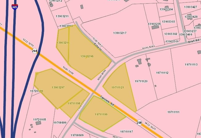
197-111-99
Mecklenburg
Sfr
North Carolina
X
99
3710551200K
3.08 AC
2024
East Charlotte
2025
Charlotte
005718
DEMOGRAPHICS near Brief Rd
1 mile
3 mile
5 mile
2024 Total Population
2,131
23,020
78,371
2029 Population
2,305
24,722
84,130
Pop Growth 2024-2029
+ 8.17%
+ 7.39%
+ 7.35%
Average Age
41
43
40
2024 Total Households
730
8,305
27,928
HH Growth 2024-2029
+ 8.08%
+ 7.42%
+ 7.34%
Median Household Inc
$117,232
$99,683
$81,572
Avg Household Size
2.90
2.70
2.80
2024 Avg HH Vehicles
2.00
2.00
2.00
Median Home Value
$422,139
$376,638
$322,736
Median Year Built
2001
1996
1994
Nearby Places
Map Layers
Map Styles
 Street
 Aerial
Transit
 Traffic
 Biking
Places
Listings with unknown addresses are not visible on the map
- Restaurants
- Banks
- Shops
- Fitness
- Groceries
PUBLIC TRANSPORTATION
AIRPORT
Concord-Padgett Regional
Drive
Walk
Distance
Concord-Padgett Regional
24 min
18.3 mi
Charlotte/Douglas International
Drive
Walk
Distance
Charlotte/Douglas International
39 min
21.7 mi
SALE & LEASE HISTORY
LISTING DATE
SALE/LEASE

Apr 25, 2017
For Sale
Nearby Properties
Address
Land Use
TOTAL SIZE
Lot Size
Zoning
Address
Land Use
TOTAL SIZE
Lot Size
Zoning
333,774 SF
64.04 AC
I
Address
Land Use
TOTAL SIZE
Lot Size
Zoning
239,983 SF
21.41 AC
I-G(CD)
Address
Land Use
TOTAL SIZE
Lot Size
Zoning
78,372 SF
14.08 AC
IGCUD
Address
Land Use
TOTAL SIZE
Lot Size
Zoning
58,134 SF
5.08 AC
IGCUD
Address
Land Use
TOTAL SIZE
Lot Size
Zoning
86,432 SF
20.01 AC
I
Address
Land Use
TOTAL SIZE
Lot Size
Zoning
40,890 SF
2.92 AC
O-A DO-B(C
Address
Land Use
TOTAL SIZE
Lot Size
Zoning
80,888 SF
8.20 AC
Address
Land Use
TOTAL SIZE
Lot Size
Zoning
36,480 SF
12.21 AC
NRD STALLI
Address
Land Use
TOTAL SIZE
Lot Size
Zoning
67,080 SF
7.99 AC
Address
Land Use
TOTAL SIZE
Lot Size
Zoning
62,619 SF
11.93 AC
I-G(CD)
Address
Land Use
TOTAL SIZE
Lot Size
Zoning
45,974 SF
9.85 AC
O-A DO-B(C
Address
Land Use
TOTAL SIZE
Lot Size
Zoning
73,255 SF
13.35 AC
R
Address
Land Use
TOTAL SIZE
Lot Size
Zoning
19,172 SF
13.55 AC
R
Address
Land Use
TOTAL SIZE
Lot Size
Zoning
9,762 SF
134.77 AC
R-15 STALL
Address
Land Use
TOTAL SIZE
Lot Size
Zoning
21,001 SF
20.22 AC
R
Address
Land Use
TOTAL SIZE
Lot Size
Zoning
54,308 SF
7.54 AC
BPCUD
Address
Land Use
TOTAL SIZE
Lot Size
Zoning
20,808 SF
1.56 AC
B-D DO-B
Address
Land Use
TOTAL SIZE
Lot Size
Zoning
4,564 SF
140.27 AC
R
Address
Land Use
TOTAL SIZE
Lot Size
Zoning
10,852 SF
10.64 AC
BG
Address
Land Use
TOTAL SIZE
Lot Size
Zoning
8,838 SF
31.17 AC
RA-40 UNIO
Address
Land Use
TOTAL SIZE
Lot Size
Zoning
52,600 SF
4.32 AC
Address
Land Use
TOTAL SIZE
Lot Size
Zoning
9,604 SF
48.71 AC
R
Address
Land Use
TOTAL SIZE
Lot Size
Zoning
37,502 SF
24.21 AC
R
Address
Land Use
TOTAL SIZE
Lot Size
Zoning
9,359 SF
30.50 AC
RA-20 UNIO
Address
Land Use
TOTAL SIZE
Lot Size
Zoning
12,052 SF
2.12 AC
B-G DO-B(C
Address
Land Use
TOTAL SIZE
Lot Size
Zoning
20,903 SF
1.49 AC
Address
Land Use
TOTAL SIZE
Lot Size
Zoning
12,546 SF
1.24 AC
NS
Address
Land Use
TOTAL SIZE
Lot Size
Zoning
25,695 SF
2.45 AC
B-G DO-B
Address
Land Use
TOTAL SIZE
Lot Size
Zoning
37,224 SF
5.54 AC
IGCUD
Address
Land Use
TOTAL SIZE
Lot Size
Zoning
12,332 SF
68.47 AC
R
The World's #1 Commercial Real Estate Marketplace
Connect with us
© 2026 CoStar Group
The information above has been obtained from sources believed reliable. While we do not doubt its accuracy we have not verified it and make no guarantee, warranty or representation about it. It is your responsibility to independently confirm its accuracy and completeness. Any projections, opinions, assumptions, or estimates used are for example only and do not represent the current or future performance of the property. The value of this transaction to you depends on tax and other factors which should be evaluated by your tax, financial, and legal advisors. You and your advisors should conduct a careful, independent investigation of the property to determine to your satisfaction the suitability of the property for your needs.