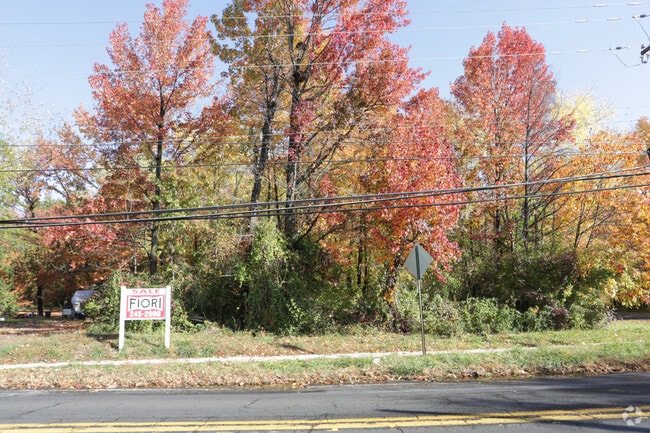
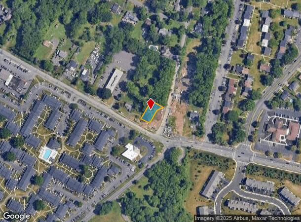
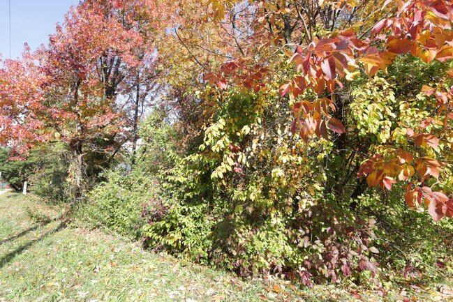
Property Record
Bristol Rd, Bensalem, PA 19020
NEARBY LISTINGS FOR SALE OR LEASE
Property Detail
Bristol Rd
Philadelphia-Camden-Wilmington, PA-NJ-DE-MD
HIGHLAND LOTS P/O LOTS #1 7-18 84X185
02-047-038-001
Bucks
Commercialnec
Pennsylvania
X
p
42017C0439J
0.36 AC
2024
Lower Bucks County
2025
Philadelphia
100214
DEMOGRAPHICS near Bristol Rd
1 Mile
3 Mile
5 Mile
2024 Total Population
11,984
94,514
244,171
2029 Population
11,988
94,004
240,649
Pop Growth 2024-2029
+ 0.03%
(0.54%)
(1.44%)
Average Age
42
42
42
2024 Total Households
4,592
36,036
91,892
HH Growth 2024-2029
(0.07%)
(0.64%)
(1.58%)
Median Household Inc
$93,579
$82,303
$84,015
Avg Household Size
2.50
2.50
2.60
2024 Avg HH Vehicles
2.00
2.00
2.00
Median Home Value
$328,645
$322,333
$296,786
Median Year Built
1977
1973
1968
Nearby Places
Map Layers
Map Styles
 Street
 Aerial
- Restaurants
- Banks
- Shops
- Fitness
- Groceries
PUBLIC TRANSPORTATION
COMMUTER RAIL
Neshaminy Falls (R3 - Southeastern Pennsylvania Transportation Authority Regional Rail (SEPTA Regional Rail))
DRIVE
WALK
Distance
Neshaminy Falls (R3 - Southeastern Pennsylvania Transportation Authority Regional Rail (SEPTA Regional Rail))
3 min
1.6 mi
Langhorne (R3 - Southeastern Pennsylvania Transportation Authority Regional Rail (SEPTA Regional Rail))
DRIVE
WALK
Distance
Langhorne (R3 - Southeastern Pennsylvania Transportation Authority Regional Rail (SEPTA Regional Rail))
6 min
3.4 mi
AIRPORT
Trenton Mercer
DRIVE
WALK
Distance
Trenton Mercer
24 min
14.8 mi
Philadelphia International
DRIVE
WALK
Distance
Philadelphia International
45 min
29.7 mi
Freight Ports
Port of Philadelphia
DRIVE
WALK
Distance
Port of Philadelphia
25 min
16.1 mi
SALE & LEASE HISTORY
LISTING DATE
SALE/LEASE

Sep 24, 2016
For Sale
Nearby Properties
Address
Land Use
TOTAL SIZE
Lot Size
Zoning
Address
Land Use
TOTAL SIZE
Lot Size
Zoning
34,350 SF
336 AC
SPPOA
Address
Land Use
TOTAL SIZE
Lot Size
Zoning
410.98 AC
R2
Address
Land Use
TOTAL SIZE
Lot Size
Zoning
453,038 SF
34.79 AC
I1
Address
Land Use
TOTAL SIZE
Lot Size
Zoning
300,700 SF
30.41 AC
I1
Address
Land Use
TOTAL SIZE
Lot Size
Zoning
200.39 AC
SPPOP
Address
Land Use
TOTAL SIZE
Lot Size
Zoning
207,500 SF
16.18 AC
I1
Address
Land Use
TOTAL SIZE
Lot Size
Zoning
241,392 SF
24.15 AC
I1
Address
Land Use
TOTAL SIZE
Lot Size
Zoning
229,183 SF
19.61 AC
I1
Address
Land Use
TOTAL SIZE
Lot Size
Zoning
154,048 SF
15.74 AC
I1
Address
Land Use
TOTAL SIZE
Lot Size
Zoning
131,987 SF
10.56 AC
I1
Address
Land Use
TOTAL SIZE
Lot Size
Zoning
116,000 SF
224.30 AC
SPPOP
Address
Land Use
TOTAL SIZE
Lot Size
Zoning
63,513 SF
4.61 AC
I1
Address
Land Use
TOTAL SIZE
Lot Size
Zoning
100,000 SF
7.27 AC
I1
Address
Land Use
TOTAL SIZE
Lot Size
Zoning
155,640 SF
9.62 AC
I1
Address
Land Use
TOTAL SIZE
Lot Size
Zoning
78,110 SF
12.20 AC
RSA4
Address
Land Use
TOTAL SIZE
Lot Size
Zoning
8.96 AC
SPPOA
Address
Land Use
TOTAL SIZE
Lot Size
Zoning
65,900 SF
7.30 AC
I1
Address
Land Use
TOTAL SIZE
Lot Size
Zoning
52,855 SF
6.03 AC
I1
Address
Land Use
TOTAL SIZE
Lot Size
Zoning
80,000 SF
7.07 AC
I1
Address
Land Use
TOTAL SIZE
Lot Size
Zoning
63,000 SF
4.11 AC
I1
Address
Land Use
TOTAL SIZE
Lot Size
Zoning
55,124 SF
3.07 AC
I1
Address
Land Use
TOTAL SIZE
Lot Size
Zoning
338,169 SF
51.67 AC
I1
Address
Land Use
TOTAL SIZE
Lot Size
Zoning
21,000 SF
3.42 AC
CA1
Address
Land Use
TOTAL SIZE
Lot Size
Zoning
70,764 SF
7.89 AC
I1
Address
Land Use
TOTAL SIZE
Lot Size
Zoning
32,912 SF
42.06 AC
AO
Address
Land Use
TOTAL SIZE
Lot Size
Zoning
50,000 SF
5.53 AC
I1
Address
Land Use
TOTAL SIZE
Lot Size
Zoning
45,524 SF
3.57 AC
I1
Address
Land Use
TOTAL SIZE
Lot Size
Zoning
33,000 SF
3.24 AC
I1
Address
Land Use
TOTAL SIZE
Lot Size
Zoning
34,342 SF
2.63 AC
I1
Address
Land Use
TOTAL SIZE
Lot Size
Zoning
43,471 SF
6.80 AC
CA1
The World's #1 Commercial Real Estate Marketplace
Connect with us
© 2025 CoStar Group
The information above has been obtained from sources believed reliable. While we do not doubt its accuracy we have not verified it and make no guarantee, warranty or representation about it. It is your responsibility to independently confirm its accuracy and completeness. Any projections, opinions, assumptions, or estimates used are for example only and do not represent the current or future performance of the property. The value of this transaction to you depends on tax and other factors which should be evaluated by your tax, financial, and legal advisors. You and your advisors should conduct a careful, independent investigation of the property to determine to your satisfaction the suitability of the property for your needs.