Property Record
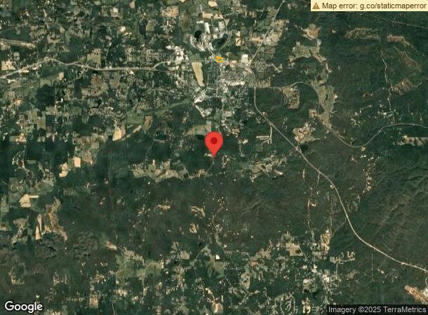
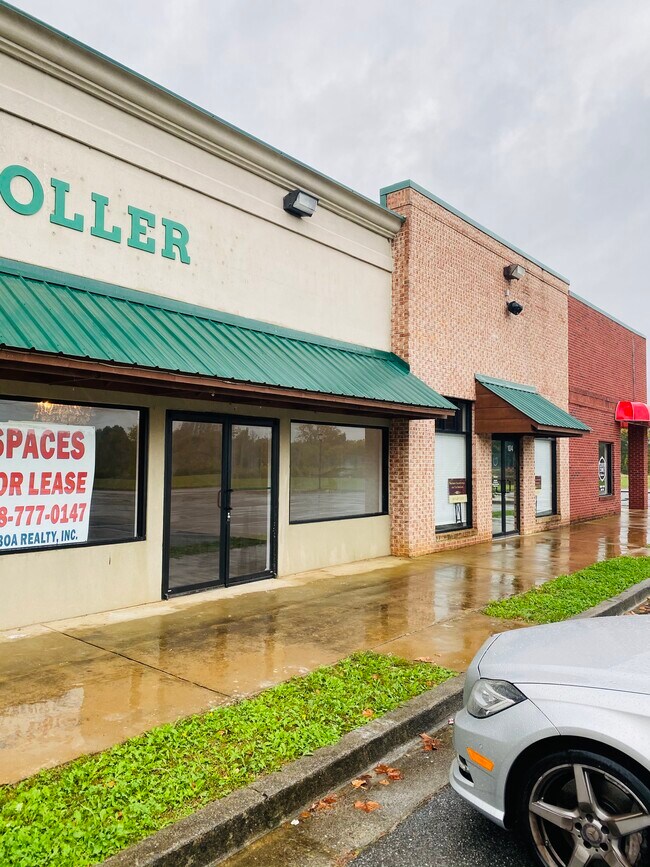
Brock Rd, Rockmart, GA 30153

Property Detail
Brock Rd
060-003
LL 719
Supermarket
POLK
B and X Area of moderate flood hazard, usually the area between the limits of the 100-year and 500-year floods.
Georgia
2025
8.85 AC
2025
Georgia Northwest
010700
Other Market Areas
68,902 SF
Cedartown, GA
NEARBY LISTINGS FOR SALE OR LEASE
DEMOGRAPHICS near Brock Rd
1 mile
3 mile
5 mile
2025 Total Population
2,622
11,086
15,399
2030 Population
2,696
11,436
15,952
Pop Growth 2025-2030
+ 2.82%
+ 3.16%
+ 3.59%
Average Age
38
40
40
2025 Total Households
1,027
4,274
5,862
HH Growth 2025-2030
+ 2.82%
+ 3.11%
+ 3.51%
Median Household Inc
$51,028
$54,008
$54,416
Avg Household Size
2.50
2.60
2.60
2025 Avg HH Vehicles
2.00
2.00
2.00
Median Home Value
$141,803
$196,854
$199,447
Median Year Built
1972
1984
1986
Nearby Places
Map Layers
Map Styles
 Street
 Aerial
Layers
 Traffic
 Biking
Places
Listings with unknown addresses are not visible on the map
- Restaurants
- Banks
- Shops
- Fitness
- Groceries
SALE & LEASE HISTORY
LISTING DATE
SALE/LEASE

Oct 12, 2020
For Lease
Nearby Properties
Address
Land Use
TOTAL SIZE
Lot Size
Zoning
Address
Land Use
TOTAL SIZE
Lot Size
Zoning
9,153 SF
10.17 AC
Address
Land Use
TOTAL SIZE
Lot Size
Zoning
22,500 SF
26.86 AC
Address
Land Use
TOTAL SIZE
Lot Size
Zoning
158,416 SF
21.64 AC
Address
Land Use
TOTAL SIZE
Lot Size
Zoning
147,168 SF
9.29 AC
Address
Land Use
TOTAL SIZE
Lot Size
Zoning
217,500 SF
28.19 AC
Address
Land Use
TOTAL SIZE
Lot Size
Zoning
17,002 SF
7.72 AC
Address
Land Use
TOTAL SIZE
Lot Size
Zoning
14,116 SF
8.12 AC
Address
Land Use
TOTAL SIZE
Lot Size
Zoning
55,115 SF
18 AC
Address
Land Use
TOTAL SIZE
Lot Size
Zoning
1,068 SF
7.41 AC
Address
Land Use
TOTAL SIZE
Lot Size
Zoning
44,653 SF
8.18 AC
Address
Land Use
TOTAL SIZE
Lot Size
Zoning
15.88 AC
Address
Land Use
TOTAL SIZE
Lot Size
Zoning
14,032 SF
5.16 AC
Address
Land Use
TOTAL SIZE
Lot Size
Zoning
19,544 SF
12.56 AC
Address
Land Use
TOTAL SIZE
Lot Size
Zoning
22,300 SF
4.33 AC
Address
Land Use
TOTAL SIZE
Lot Size
Zoning
133,395 SF
9.53 AC
Address
Land Use
TOTAL SIZE
Lot Size
Zoning
1,200 SF
3.43 AC
Address
Land Use
TOTAL SIZE
Lot Size
Zoning
18,116 SF
1 AC
Address
Land Use
TOTAL SIZE
Lot Size
Zoning
4,978 SF
1.70 AC
Address
Land Use
TOTAL SIZE
Lot Size
Zoning
40,378 SF
1.34 AC
Address
Land Use
TOTAL SIZE
Lot Size
Zoning
6,043 SF
1.67 AC
Address
Land Use
TOTAL SIZE
Lot Size
Zoning
6,400 SF
1.65 AC
Address
Land Use
TOTAL SIZE
Lot Size
Zoning
2,729 SF
2.91 AC
Address
Land Use
TOTAL SIZE
Lot Size
Zoning
7,405 SF
2 AC
Address
Land Use
TOTAL SIZE
Lot Size
Zoning
7,920 SF
1.80 AC
Address
Land Use
TOTAL SIZE
Lot Size
Zoning
12,680 SF
1.04 AC
Address
Land Use
TOTAL SIZE
Lot Size
Zoning
15,600 SF
8.75 AC
Address
Land Use
TOTAL SIZE
Lot Size
Zoning
6,890 SF
1.17 AC
Address
Land Use
TOTAL SIZE
Lot Size
Zoning
2,005 SF
3.87 AC
Address
Land Use
TOTAL SIZE
Lot Size
Zoning
4,005 SF
0.96 AC
The World's #1 Commercial Real Estate Marketplace
Connect with us
© 2026 CoStar Group
The information above has been obtained from sources believed reliable. While we do not doubt its accuracy we have not verified it and make no guarantee, warranty or representation about it. It is your responsibility to independently confirm its accuracy and completeness. Any projections, opinions, assumptions, or estimates used are for example only and do not represent the current or future performance of the property. The value of this transaction to you depends on tax and other factors which should be evaluated by your tax, financial, and legal advisors. You and your advisors should conduct a careful, independent investigation of the property to determine to your satisfaction the suitability of the property for your needs.