Property Record
Brown Loop Rd, Cartersville, GA 30121
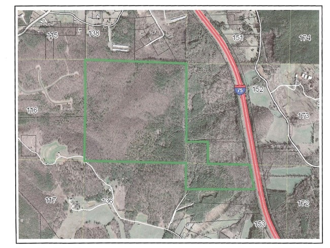

Property Detail
Brown Loop Rd
0060-0134-002
LL 134 LD 5
Agriculturalland
BARTOW
A1
Georgia
A Areas with a 1% annual chance of flooding and a 26% chance of flooding over the life of a 30-year mortgage.
1.61 AC
2025
Bartow County
2025
Atlanta
960403
Atlanta-Sandy Springs-Roswell, GA
NEARBY LISTINGS FOR SALE OR LEASE
DEMOGRAPHICS near Brown Loop Rd
1 mile
3 mile
5 mile
2024 Total Population
1,336
10,413
30,707
2029 Population
1,431
11,160
32,938
Pop Growth 2024-2029
+ 7.11%
+ 7.17%
+ 7.27%
Average Age
40
40
40
2024 Total Households
488
3,704
11,441
HH Growth 2024-2029
+ 7.17%
+ 7.26%
+ 7.36%
Median Household Inc
$99,027
$87,607
$75,832
Avg Household Size
2.70
2.80
2.60
2024 Avg HH Vehicles
3.00
2.00
2.00
Median Home Value
$391,891
$339,426
$315,041
Median Year Built
2004
2000
1997
Nearby Places
Map Layers
Map Styles
 Street
 Aerial
Transit
 Traffic
 Biking
Places
Listings with unknown addresses are not visible on the map
- Restaurants
- Banks
- Shops
- Fitness
- Groceries
SALE & LEASE HISTORY
LISTING DATE
SALE/LEASE

Sep 24, 2016
For Sale
Nearby Properties
Address
Land Use
TOTAL SIZE
Lot Size
Zoning
Address
Land Use
TOTAL SIZE
Lot Size
Zoning
271,357 SF
375.69 AC
IN
Address
Land Use
TOTAL SIZE
Lot Size
Zoning
999,291 SF
73.85 AC
A1
Address
Land Use
TOTAL SIZE
Lot Size
Zoning
311,878 SF
161.30 AC
Address
Land Use
TOTAL SIZE
Lot Size
Zoning
178,018 SF
48.93 AC
C1
Address
Land Use
TOTAL SIZE
Lot Size
Zoning
646,380 SF
59.66 AC
I1
Address
Land Use
TOTAL SIZE
Lot Size
Zoning
766,373 SF
267.91 AC
I2
Address
Land Use
TOTAL SIZE
Lot Size
Zoning
375,540 SF
31.64 AC
M1
Address
Land Use
TOTAL SIZE
Lot Size
Zoning
526,400 SF
64.52 AC
Address
Land Use
TOTAL SIZE
Lot Size
Zoning
597,183 SF
64.23 AC
Address
Land Use
TOTAL SIZE
Lot Size
Zoning
273,560 SF
31.38 AC
Address
Land Use
TOTAL SIZE
Lot Size
Zoning
267,558 SF
28.14 AC
A1
Address
Land Use
TOTAL SIZE
Lot Size
Zoning
396,000 SF
60.87 AC
Address
Land Use
TOTAL SIZE
Lot Size
Zoning
337,336 SF
30.59 AC
A1
Address
Land Use
TOTAL SIZE
Lot Size
Zoning
337,615 SF
34.95 AC
A1
Address
Land Use
TOTAL SIZE
Lot Size
Zoning
2,492 SF
73.92 AC
A1
Address
Land Use
TOTAL SIZE
Lot Size
Zoning
328,000 SF
43.09 AC
Address
Land Use
TOTAL SIZE
Lot Size
Zoning
1,416 SF
22.02 AC
A1
Address
Land Use
TOTAL SIZE
Lot Size
Zoning
8,760 SF
151.31 AC
IN
Address
Land Use
TOTAL SIZE
Lot Size
Zoning
155,816 SF
39.86 AC
A1
Address
Land Use
TOTAL SIZE
Lot Size
Zoning
265,150 SF
33.26 AC
Address
Land Use
TOTAL SIZE
Lot Size
Zoning
199,800 SF
16.23 AC
A1
Address
Land Use
TOTAL SIZE
Lot Size
Zoning
125,821 SF
17.23 AC
A1
Address
Land Use
TOTAL SIZE
Lot Size
Zoning
130,000 SF
20 AC
Address
Land Use
TOTAL SIZE
Lot Size
Zoning
102,568 SF
32.22 AC
A1
Address
Land Use
TOTAL SIZE
Lot Size
Zoning
151,641 SF
21.14 AC
Address
Land Use
TOTAL SIZE
Lot Size
Zoning
82,782 SF
12.15 AC
A1
Address
Land Use
TOTAL SIZE
Lot Size
Zoning
189,430 SF
Address
Land Use
TOTAL SIZE
Lot Size
Zoning
165.60 AC
IN
Address
Land Use
TOTAL SIZE
Lot Size
Zoning
121,790 SF
22.94 AC
Address
Land Use
TOTAL SIZE
Lot Size
Zoning
35,828 SF
21.44 AC
I1
The World's #1 Commercial Real Estate Marketplace
Connect with us
© 2026 CoStar Group
The information above has been obtained from sources believed reliable. While we do not doubt its accuracy we have not verified it and make no guarantee, warranty or representation about it. It is your responsibility to independently confirm its accuracy and completeness. Any projections, opinions, assumptions, or estimates used are for example only and do not represent the current or future performance of the property. The value of this transaction to you depends on tax and other factors which should be evaluated by your tax, financial, and legal advisors. You and your advisors should conduct a careful, independent investigation of the property to determine to your satisfaction the suitability of the property for your needs.