Property Record
Bunola River Rd, Bunola, PA 15020

NEARBY LISTINGS FOR SALE OR LEASE
-
-
View all Bunola listings for sale on LoopNet.com
Property Detail
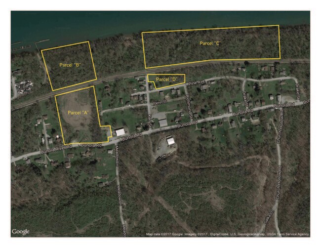
Bunola River Rd
Pittsburgh, PA
4.364 A SRF LD BUNOLA PUBLIC ROAD
1741-C-00081-0000-00
Allegheny
Commercialnec
Pennsylvania
X
81
42125C0377E
4.36 AC
2024
South Pittsburgh/Rte 51
2025
Pittsburgh
495000
DEMOGRAPHICS near Bunola River Rd
1 Mile
3 Mile
5 Mile
2024 Total Population
263
10,616
39,195
2029 Population
258
10,661
39,023
Pop Growth 2024-2029
(1.90%)
+ 0.42%
(0.44%)
Average Age
47
45
44
2024 Total Households
114
4,801
16,672
HH Growth 2024-2029
(1.75%)
+ 0.52%
(0.35%)
Median Household Inc
$69,499
$59,602
$71,895
Avg Household Size
2.30
2.20
2.30
2024 Avg HH Vehicles
2.00
2.00
2.00
Median Home Value
$147,826
$136,974
$180,027
Median Year Built
1949
1952
1964
Nearby Places
Map Layers
Map Styles
 Street
 Aerial
- Restaurants
- Banks
- Shops
- Fitness
- Groceries
PUBLIC TRANSPORTATION
AIRPORT
Pittsburgh International
DRIVE
WALK
Distance
Pittsburgh International
62 min
35.2 mi
Arnold Palmer Regional
DRIVE
WALK
Distance
Arnold Palmer Regional
65 min
40.0 mi
Freight Ports
Port of Baltimore
DRIVE
WALK
Distance
Port of Baltimore
273 min
235.4 mi
Nearby Properties
Address
Land Use
TOTAL SIZE
Lot Size
Zoning
Address
Land Use
TOTAL SIZE
Lot Size
Zoning
30.50 AC
Address
Land Use
TOTAL SIZE
Lot Size
Zoning
28.56 AC
Address
Land Use
TOTAL SIZE
Lot Size
Zoning
63,612 SF
4.20 AC
Address
Land Use
TOTAL SIZE
Lot Size
Zoning
23.02 AC
Address
Land Use
TOTAL SIZE
Lot Size
Zoning
Address
Land Use
TOTAL SIZE
Lot Size
Zoning
0.59 AC
Address
Land Use
TOTAL SIZE
Lot Size
Zoning
30.18 AC
Address
Land Use
TOTAL SIZE
Lot Size
Zoning
99.52 AC
Address
Land Use
TOTAL SIZE
Lot Size
Zoning
111.30 AC
Address
Land Use
TOTAL SIZE
Lot Size
Zoning
12.44 AC
Address
Land Use
TOTAL SIZE
Lot Size
Zoning
0.62 AC
Address
Land Use
TOTAL SIZE
Lot Size
Zoning
0.47 AC
Address
Land Use
TOTAL SIZE
Lot Size
Zoning
12.11 AC
Address
Land Use
TOTAL SIZE
Lot Size
Zoning
0.46 AC
Address
Land Use
TOTAL SIZE
Lot Size
Zoning
34.09 AC
Address
Land Use
TOTAL SIZE
Lot Size
Zoning
11,952 SF
0.67 AC
Address
Land Use
TOTAL SIZE
Lot Size
Zoning
1.18 AC
Address
Land Use
TOTAL SIZE
Lot Size
Zoning
19.81 AC
Address
Land Use
TOTAL SIZE
Lot Size
Zoning
0.83 AC
Address
Land Use
TOTAL SIZE
Lot Size
Zoning
3.06 AC
Address
Land Use
TOTAL SIZE
Lot Size
Zoning
Address
Land Use
TOTAL SIZE
Lot Size
Zoning
0.35 AC
Address
Land Use
TOTAL SIZE
Lot Size
Zoning
Address
Land Use
TOTAL SIZE
Lot Size
Zoning
28.76 AC
Address
Land Use
TOTAL SIZE
Lot Size
Zoning
0.32 AC
Address
Land Use
TOTAL SIZE
Lot Size
Zoning
32.46 AC
Address
Land Use
TOTAL SIZE
Lot Size
Zoning
0.94 AC
Address
Land Use
TOTAL SIZE
Lot Size
Zoning
Address
Land Use
TOTAL SIZE
Lot Size
Zoning
106.48 AC
Address
Land Use
TOTAL SIZE
Lot Size
Zoning
3,699 SF
930.14 AC
The World's #1 Commercial Real Estate Marketplace
Connect with us
© 2025 CoStar Group
The information above has been obtained from sources believed reliable. While we do not doubt its accuracy we have not verified it and make no guarantee, warranty or representation about it. It is your responsibility to independently confirm its accuracy and completeness. Any projections, opinions, assumptions, or estimates used are for example only and do not represent the current or future performance of the property. The value of this transaction to you depends on tax and other factors which should be evaluated by your tax, financial, and legal advisors. You and your advisors should conduct a careful, independent investigation of the property to determine to your satisfaction the suitability of the property for your needs.