Property Record
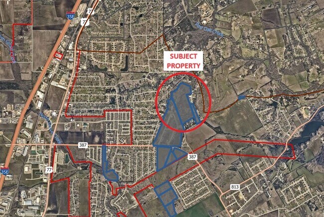
Butcher Rd, Waxahachie, TX 75165
Property Detail
Butcher Rd
Dallas-Fort Worth-Arlington, TX
363 1026 W W FOREMAN J STARRETT 6.667 ACRES
274632
ELLIS
Agriculturalland
Texas
AE The base floodplain where base flood elevations are provided. AE Zones are now used on new format FIRMs instead of A1-A30 Zones.
59.81 AC
2024
Ellis County
2025
Dallas/Ft Worth
060300
NEARBY LISTINGS FOR SALE OR LEASE
DEMOGRAPHICS near Butcher Rd
1 mile
3 mile
5 mile
2025 Total Population
2,521
18,323
67,104
2030 Population
2,895
21,427
78,480
Pop Growth 2025-2030
+ 14.84%
+ 16.94%
+ 16.95%
Average Age
40
39
38
2025 Total Households
886
6,074
23,142
HH Growth 2025-2030
+ 15.01%
+ 16.94%
+ 16.98%
Median Household Inc
$91,297
$109,328
$94,824
Avg Household Size
2.90
3.00
2.90
2025 Avg HH Vehicles
2.00
2.00
2.00
Median Home Value
$386,057
$384,593
$367,152
Median Year Built
2002
2005
2003
Nearby Places
Map Layers
Map Styles
 Street
 Aerial
Layers
 Traffic
 Biking
Places
Listings with unknown addresses are not visible on the map
- Restaurants
- Banks
- Shops
- Fitness
- Groceries
PUBLIC TRANSPORTATION
AIRPORT
Dallas Love Field
Drive
Walk
Distance
Dallas Love Field
46 min
32.1 mi
Freight Ports
Port of Shreveport
Drive
Walk
Distance
Port of Shreveport
233 min
213.2 mi
SALE & LEASE HISTORY
LISTING DATE
SALE/LEASE

Oct 31, 2024
For Sale
Mar 20, 2024
For Sale
Nearby Properties
Address
Land Use
TOTAL SIZE
Lot Size
Zoning
Address
Land Use
TOTAL SIZE
Lot Size
Zoning
364,814 SF
105.96 AC
Address
Land Use
TOTAL SIZE
Lot Size
Zoning
146,074 SF
42.83 AC
Address
Land Use
TOTAL SIZE
Lot Size
Zoning
448,643 SF
8.93 AC
Address
Land Use
TOTAL SIZE
Lot Size
Zoning
281,216 SF
75.37 AC
Address
Land Use
TOTAL SIZE
Lot Size
Zoning
675,375 SF
59.26 AC
Address
Land Use
TOTAL SIZE
Lot Size
Zoning
413,050 SF
54.30 AC
Address
Land Use
TOTAL SIZE
Lot Size
Zoning
326,740 SF
23.01 AC
Address
Land Use
TOTAL SIZE
Lot Size
Zoning
352,350 SF
18.78 AC
Address
Land Use
TOTAL SIZE
Lot Size
Zoning
92,860 SF
26.02 AC
Address
Land Use
TOTAL SIZE
Lot Size
Zoning
41,390 SF
90.38 AC
Address
Land Use
TOTAL SIZE
Lot Size
Zoning
104,885 SF
8 AC
Address
Land Use
TOTAL SIZE
Lot Size
Zoning
60,041 SF
6.76 AC
Address
Land Use
TOTAL SIZE
Lot Size
Zoning
79,244 SF
11.28 AC
Address
Land Use
TOTAL SIZE
Lot Size
Zoning
71,124 SF
10.72 AC
Address
Land Use
TOTAL SIZE
Lot Size
Zoning
62,126 SF
16.85 AC
Address
Land Use
TOTAL SIZE
Lot Size
Zoning
131,480 SF
7.30 AC
Address
Land Use
TOTAL SIZE
Lot Size
Zoning
68,150 SF
51.99 AC
Address
Land Use
TOTAL SIZE
Lot Size
Zoning
77,212 SF
28.59 AC
Address
Land Use
TOTAL SIZE
Lot Size
Zoning
169,000 SF
31.43 AC
Address
Land Use
TOTAL SIZE
Lot Size
Zoning
41,025 SF
21.40 AC
Address
Land Use
TOTAL SIZE
Lot Size
Zoning
78,797 SF
2.95 AC
Address
Land Use
TOTAL SIZE
Lot Size
Zoning
5,273 SF
71.81 AC
Address
Land Use
TOTAL SIZE
Lot Size
Zoning
17,625 SF
6.91 AC
Address
Land Use
TOTAL SIZE
Lot Size
Zoning
157,100 SF
28.73 AC
Address
Land Use
TOTAL SIZE
Lot Size
Zoning
68,464 SF
16 AC
Address
Land Use
TOTAL SIZE
Lot Size
Zoning
64,235 SF
3.81 AC
Address
Land Use
TOTAL SIZE
Lot Size
Zoning
163,345 SF
9.93 AC
Address
Land Use
TOTAL SIZE
Lot Size
Zoning
103,050 SF
13.46 AC
Address
Land Use
TOTAL SIZE
Lot Size
Zoning
17,670 SF
2.34 AC
Address
Land Use
TOTAL SIZE
Lot Size
Zoning
44,279 SF
5.29 AC
The World's #1 Commercial Real Estate Marketplace
Connect with us
© 2026 CoStar Group
The information above has been obtained from sources believed reliable. While we do not doubt its accuracy we have not verified it and make no guarantee, warranty or representation about it. It is your responsibility to independently confirm its accuracy and completeness. Any projections, opinions, assumptions, or estimates used are for example only and do not represent the current or future performance of the property. The value of this transaction to you depends on tax and other factors which should be evaluated by your tax, financial, and legal advisors. You and your advisors should conduct a careful, independent investigation of the property to determine to your satisfaction the suitability of the property for your needs.