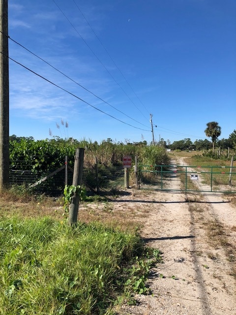
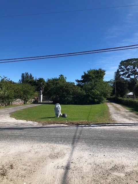
Property Record
C Rd, Loxahatchee Groves, FL 33470

NEARBY LISTINGS FOR SALE OR LEASE
Property Detail
C Rd
West Palm Beach-Boca Raton-Delray Beach, FL
Loxahatchee Groves
41-41-43-17-01-234-0010
LOXAHATCHEE GROVES W 1/2 OF N 1/2 OF TR 34 BLK B A/K/A LT 1 OF CAYLORS SUB AS IN OR4341P0067
Vacantlandnec
Palm Beach
AE
Florida
12099C0531F
1
2024
5 AC
2025
Palm Bch Cty Outlying
007850
South Florida
DEMOGRAPHICS near C Rd
1 Mile
3 Mile
5 Mile
2024 Total Population
501
17,045
80,250
2029 Population
491
17,382
81,651
Pop Growth 2024-2029
(2.00%)
+ 1.98%
+ 1.75%
Average Age
42
40
40
2024 Total Households
171
5,468
26,325
HH Growth 2024-2029
(2.92%)
+ 1.26%
+ 0.97%
Median Household Inc
$93,144
$104,183
$97,962
Avg Household Size
2.80
3.00
2.90
2024 Avg HH Vehicles
2.00
2.00
2.00
Median Home Value
$427,174
$392,175
$387,703
Median Year Built
1988
1994
1991
Nearby Places
Map Layers
Map Styles
 Street
 Aerial
- Restaurants
- Banks
- Shops
- Fitness
- Groceries
PUBLIC TRANSPORTATION
AIRPORT
Palm Beach International
DRIVE
WALK
Distance
Palm Beach International
31 min
14.9 mi
Freight Ports
Port of Palm Beach
DRIVE
WALK
Distance
Port of Palm Beach
41 min
19.4 mi
SALE & LEASE HISTORY
LISTING DATE
SALE/LEASE

Jan 19, 2021
For Sale
Nearby Properties
Address
Land Use
TOTAL SIZE
Lot Size
Zoning
Address
Land Use
TOTAL SIZE
Lot Size
Zoning
299,330 SF
53.67 AC
NZ
Address
Land Use
TOTAL SIZE
Lot Size
Zoning
255,249 SF
56.43 AC
C
Address
Land Use
TOTAL SIZE
Lot Size
Zoning
145,465 SF
9.22 AC
MU
Address
Land Use
TOTAL SIZE
Lot Size
Zoning
62,432 SF
20.32 AC
MU
Address
Land Use
TOTAL SIZE
Lot Size
Zoning
54,192 SF
74.82 AC
AR
Address
Land Use
TOTAL SIZE
Lot Size
Zoning
106,352 SF
5.75 AC
MU
Address
Land Use
TOTAL SIZE
Lot Size
Zoning
98,538 SF
2.45 AC
CL
Address
Land Use
TOTAL SIZE
Lot Size
Zoning
63,826 SF
8.22 AC
CL
Address
Land Use
TOTAL SIZE
Lot Size
Zoning
103,509 SF
7.32 AC
PO
Address
Land Use
TOTAL SIZE
Lot Size
Zoning
76,902 SF
8.76 AC
MU
Address
Land Use
TOTAL SIZE
Lot Size
Zoning
35,390 SF
631.36 AC
MUPD
Address
Land Use
TOTAL SIZE
Lot Size
Zoning
61,105 SF
32.10 AC
AR
Address
Land Use
TOTAL SIZE
Lot Size
Zoning
69,124 SF
29.91 AC
PO
Address
Land Use
TOTAL SIZE
Lot Size
Zoning
103,061 SF
12.50 AC
MU
Address
Land Use
TOTAL SIZE
Lot Size
Zoning
Address
Land Use
TOTAL SIZE
Lot Size
Zoning
23,414 SF
4.63 AC
C
Address
Land Use
TOTAL SIZE
Lot Size
Zoning
39.68 AC
R-1
Address
Land Use
TOTAL SIZE
Lot Size
Zoning
62.22 AC
MU
Address
Land Use
TOTAL SIZE
Lot Size
Zoning
11,004 SF
5.66 AC
MD
Address
Land Use
TOTAL SIZE
Lot Size
Zoning
129.60 AC
R-2
Address
Land Use
TOTAL SIZE
Lot Size
Zoning
16,498 SF
3.50 AC
MU
Address
Land Use
TOTAL SIZE
Lot Size
Zoning
35,263 SF
4.93 AC
MUPD
Address
Land Use
TOTAL SIZE
Lot Size
Zoning
19,263 SF
2.44 AC
MUPD
Address
Land Use
TOTAL SIZE
Lot Size
Zoning
20,370 SF
3.44 AC
CL
Address
Land Use
TOTAL SIZE
Lot Size
Zoning
5,490 SF
2.48 AC
MU
Address
Land Use
TOTAL SIZE
Lot Size
Zoning
37,588 SF
12.70 AC
MU
Address
Land Use
TOTAL SIZE
Lot Size
Zoning
18,327 SF
15.19 AC
AR
Address
Land Use
TOTAL SIZE
Lot Size
Zoning
5,418 SF
1.89 AC
MU
Address
Land Use
TOTAL SIZE
Lot Size
Zoning
6,120 SF
1.61 AC
MUPD
Address
Land Use
TOTAL SIZE
Lot Size
Zoning
4,947 SF
1.52 AC
MUPD
The World's #1 Commercial Real Estate Marketplace
Connect with us
© 2025 CoStar Group
The information above has been obtained from sources believed reliable. While we do not doubt its accuracy we have not verified it and make no guarantee, warranty or representation about it. It is your responsibility to independently confirm its accuracy and completeness. Any projections, opinions, assumptions, or estimates used are for example only and do not represent the current or future performance of the property. The value of this transaction to you depends on tax and other factors which should be evaluated by your tax, financial, and legal advisors. You and your advisors should conduct a careful, independent investigation of the property to determine to your satisfaction the suitability of the property for your needs.