Property Record
Chestnut St, Coram, NY 11727
This Property Is For Sale
Property Detail
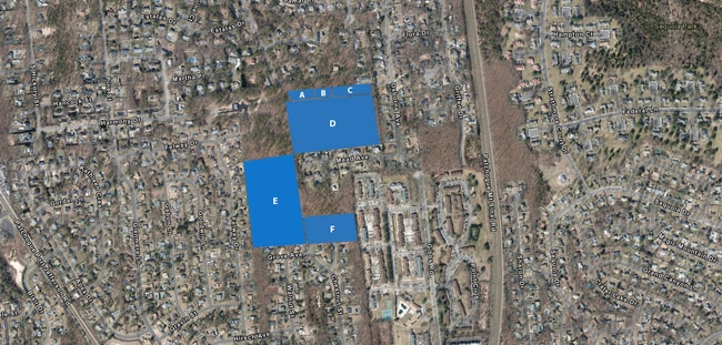
Chestnut St
Nassau County-Suffolk County, NY
OAKDALE FARMS 344 125 & 126
0200-284-00-02-00-016-013
SUFFOLK
Residentialacreage
New York
B and X Area of moderate flood hazard, usually the area between the limits of the 100-year and 500-year floods.
300
2024
5.24 AC
2025
Central Suffolk
158306
Long Island (New York)
NEARBY LISTINGS FOR SALE OR LEASE
-
-
-
No Photo
-
-
-
-
-
View all Coram listings for sale on LoopNet.com
DEMOGRAPHICS near Chestnut St
1 mile
3 mile
5 mile
2025 Total Population
10,287
82,944
182,300
2030 Population
10,169
82,587
181,485
Pop Growth 2025-2030
(1.15%)
(0.43%)
(0.45%)
Average Age
43
42
42
2025 Total Households
3,840
28,956
63,934
HH Growth 2025-2030
(1.61%)
(0.68%)
(0.67%)
Median Household Inc
$100,174
$112,496
$118,089
Avg Household Size
2.60
2.70
2.70
2025 Avg HH Vehicles
2.00
2.00
2.00
Median Home Value
$484,817
$498,863
$498,874
Median Year Built
1977
1977
1975
Nearby Places
Map Layers
Map Styles
 Street
 Aerial
Layers
 Traffic
 Biking
Places
Listings with unknown addresses are not visible on the map
- Restaurants
- Banks
- Shops
- Fitness
- Groceries
PUBLIC TRANSPORTATION
COMMUTER RAIL
Port Jefferson Station (Port Jefferson Branch - Long Island Rail Road)
Drive
Walk
Distance
Port Jefferson Station (Port Jefferson Branch - Long Island Rail Road)
9 min
4.1 mi
Medford Station (Greenport Branch - Long Island Rail Road)
Drive
Walk
Distance
Medford Station (Greenport Branch - Long Island Rail Road)
14 min
6.7 mi
AIRPORT
Long Island MacArthur
Drive
Walk
Distance
Long Island MacArthur
26 min
15.3 mi
Tweed/New Haven
Drive
Walk
Distance
Tweed/New Haven
125 min
45.2 mi
Freight Ports
Port of New Haven
Drive
Walk
Distance
Port of New Haven
120 min
42.4 mi
Nearby Properties
Address
Land Use
TOTAL SIZE
Lot Size
Zoning
Address
Land Use
TOTAL SIZE
Lot Size
Zoning
2,512 SF
1.45 AC
R20
Address
Land Use
TOTAL SIZE
Lot Size
Zoning
6,522 SF
0.32 AC
VILLA
Address
Land Use
TOTAL SIZE
Lot Size
Zoning
1.22 AC
CR80
Address
Land Use
TOTAL SIZE
Lot Size
Zoning
0.92 AC
CR80
Address
Land Use
TOTAL SIZE
Lot Size
Zoning
3.52 AC
CR80
Address
Land Use
TOTAL SIZE
Lot Size
Zoning
32.90 AC
Address
Land Use
TOTAL SIZE
Lot Size
Zoning
31.33 AC
Address
Land Use
TOTAL SIZE
Lot Size
Zoning
21.04 AC
Address
Land Use
TOTAL SIZE
Lot Size
Zoning
Address
Land Use
TOTAL SIZE
Lot Size
Zoning
64.87 AC
Address
Land Use
TOTAL SIZE
Lot Size
Zoning
47.20 AC
Address
Land Use
TOTAL SIZE
Lot Size
Zoning
27.75 AC
Address
Land Use
TOTAL SIZE
Lot Size
Zoning
Address
Land Use
TOTAL SIZE
Lot Size
Zoning
17.81 AC
Address
Land Use
TOTAL SIZE
Lot Size
Zoning
18.50 AC
Address
Land Use
TOTAL SIZE
Lot Size
Zoning
0.54 AC
R20
Address
Land Use
TOTAL SIZE
Lot Size
Zoning
22.45 AC
Address
Land Use
TOTAL SIZE
Lot Size
Zoning
Address
Land Use
TOTAL SIZE
Lot Size
Zoning
Address
Land Use
TOTAL SIZE
Lot Size
Zoning
Address
Land Use
TOTAL SIZE
Lot Size
Zoning
Address
Land Use
TOTAL SIZE
Lot Size
Zoning
Address
Land Use
TOTAL SIZE
Lot Size
Zoning
16.50 AC
Address
Land Use
TOTAL SIZE
Lot Size
Zoning
23.35 AC
Address
Land Use
TOTAL SIZE
Lot Size
Zoning
Address
Land Use
TOTAL SIZE
Lot Size
Zoning
Address
Land Use
TOTAL SIZE
Lot Size
Zoning
14.11 AC
Address
Land Use
TOTAL SIZE
Lot Size
Zoning
23.91 AC
Address
Land Use
TOTAL SIZE
Lot Size
Zoning
Address
Land Use
TOTAL SIZE
Lot Size
Zoning
The World's #1 Commercial Real Estate Marketplace
Connect with us
© 2026 CoStar Group
The information above has been obtained from sources believed reliable. While we do not doubt its accuracy we have not verified it and make no guarantee, warranty or representation about it. It is your responsibility to independently confirm its accuracy and completeness. Any projections, opinions, assumptions, or estimates used are for example only and do not represent the current or future performance of the property. The value of this transaction to you depends on tax and other factors which should be evaluated by your tax, financial, and legal advisors. You and your advisors should conduct a careful, independent investigation of the property to determine to your satisfaction the suitability of the property for your needs.