Property Record
Colony Dr, Rocky Mount, NC 27804

Property Detail
Colony Dr
3853-19-60-0775
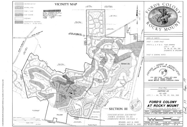
19 92 AC, TRACT B FORDS CLNY SPLIT OUT OF 386318311494 AC TRACT B FORDS CLNY
Vacantlandnec
NASH
PDRCU
North Carolina
B and X Area of moderate flood hazard, usually the area between the limits of the 100-year and 500-year floods.
19.92 AC
2025
Rocky Mount/Wilson
2025
Other Market Areas
010700
Rocky Mount, NC
NEARBY LISTINGS FOR SALE OR LEASE
DEMOGRAPHICS near Colony Dr
1 mile
3 mile
5 mile
2025 Total Population
988
9,425
20,464
2030 Population
1,029
9,674
21,094
Pop Growth 2025-2030
+ 4.15%
+ 2.64%
+ 3.08%
Average Age
42
41
41
2025 Total Households
416
3,952
8,926
HH Growth 2025-2030
+ 4.33%
+ 2.71%
+ 3.16%
Median Household Inc
$64,500
$67,125
$60,331
Avg Household Size
2.30
2.30
2.20
2025 Avg HH Vehicles
2.00
2.00
2.00
Median Home Value
$216,316
$175,598
$174,246
Median Year Built
1991
1982
1985
Nearby Places
Map Layers
Map Styles
 Street
 Aerial
Layers
 Traffic
 Biking
Places
Listings with unknown addresses are not visible on the map
- Restaurants
- Banks
- Shops
- Fitness
- Groceries
PUBLIC TRANSPORTATION
COMMUTER RAIL
Rocky Mount (Carolinian - Amtrak, Palmetto - Amtrak, Silver Meteor - Amtrak, Silver Star - Amtrak)
Drive
Walk
Distance
Rocky Mount (Carolinian - Amtrak, Palmetto - Amtrak, Silver Meteor - Amtrak, Silver Star - Amtrak)
16 min
7.8 mi
Freight Ports
Virginia Port Authority - Portsmouth
Drive
Walk
Distance
Virginia Port Authority - Portsmouth
159 min
132.2 mi
Nearby Properties
Address
Land Use
TOTAL SIZE
Lot Size
Zoning
Address
Land Use
TOTAL SIZE
Lot Size
Zoning
23,636 SF
111.07 AC
Address
Land Use
TOTAL SIZE
Lot Size
Zoning
3,072 SF
181.13 AC
Address
Land Use
TOTAL SIZE
Lot Size
Zoning
25,099 SF
105.61 AC
GC
Address
Land Use
TOTAL SIZE
Lot Size
Zoning
41,620 SF
32.43 AC
R30
Address
Land Use
TOTAL SIZE
Lot Size
Zoning
8,822 SF
9.70 AC
R6
Address
Land Use
TOTAL SIZE
Lot Size
Zoning
8,020 SF
13.81 AC
R6
Address
Land Use
TOTAL SIZE
Lot Size
Zoning
120,560 SF
27.50 AC
I2
Address
Land Use
TOTAL SIZE
Lot Size
Zoning
7,952 SF
8.59 AC
R6
Address
Land Use
TOTAL SIZE
Lot Size
Zoning
36,151 SF
23.17 AC
R30
Address
Land Use
TOTAL SIZE
Lot Size
Zoning
207,665 SF
13.50 AC
PI
Address
Land Use
TOTAL SIZE
Lot Size
Zoning
12,660 SF
95.06 AC
Address
Land Use
TOTAL SIZE
Lot Size
Zoning
310,108 SF
33.68 AC
I2
Address
Land Use
TOTAL SIZE
Lot Size
Zoning
96,000 SF
14.65 AC
PI
Address
Land Use
TOTAL SIZE
Lot Size
Zoning
204,794 SF
14.85 AC
I2
Address
Land Use
TOTAL SIZE
Lot Size
Zoning
100,472 SF
9.71 AC
MI
Address
Land Use
TOTAL SIZE
Lot Size
Zoning
25,432 SF
78.78 AC
Address
Land Use
TOTAL SIZE
Lot Size
Zoning
228,800 SF
19.48 AC
I2
Address
Land Use
TOTAL SIZE
Lot Size
Zoning
108,070 SF
15.82 AC
PIR30
Address
Land Use
TOTAL SIZE
Lot Size
Zoning
88,822 SF
20 AC
PIR30
Address
Land Use
TOTAL SIZE
Lot Size
Zoning
105,673 SF
17.98 AC
MI
Address
Land Use
TOTAL SIZE
Lot Size
Zoning
21,962 SF
3.15 AC
I
Address
Land Use
TOTAL SIZE
Lot Size
Zoning
114,765 SF
47 AC
Address
Land Use
TOTAL SIZE
Lot Size
Zoning
51,339 SF
6.89 AC
Address
Land Use
TOTAL SIZE
Lot Size
Zoning
9,280 SF
4.75 AC
R6
Address
Land Use
TOTAL SIZE
Lot Size
Zoning
71.54 AC
Address
Land Use
TOTAL SIZE
Lot Size
Zoning
28,354 SF
2.30 AC
I
Address
Land Use
TOTAL SIZE
Lot Size
Zoning
9,240 SF
8.58 AC
PUDCU
Address
Land Use
TOTAL SIZE
Lot Size
Zoning
66,320 SF
31.85 AC
I2
Address
Land Use
TOTAL SIZE
Lot Size
Zoning
9,000 SF
28.48 AC
Address
Land Use
TOTAL SIZE
Lot Size
Zoning
15,375 SF
6.85 AC
The World's #1 Commercial Real Estate Marketplace
Connect with us
© 2026 CoStar Group
The information above has been obtained from sources believed reliable. While we do not doubt its accuracy we have not verified it and make no guarantee, warranty or representation about it. It is your responsibility to independently confirm its accuracy and completeness. Any projections, opinions, assumptions, or estimates used are for example only and do not represent the current or future performance of the property. The value of this transaction to you depends on tax and other factors which should be evaluated by your tax, financial, and legal advisors. You and your advisors should conduct a careful, independent investigation of the property to determine to your satisfaction the suitability of the property for your needs.