Property Record
9169 Coors Blvd Nw, Albuquerque, NM 87120


NEARBY LISTINGS FOR SALE OR LEASE
Property Detail
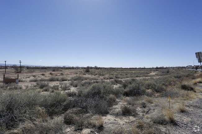
9169 Coors Blvd Nw
Albuquerque, NM
Corrected Subd
1-013-064-105065-3-05-04
LT 1 CORRECTED SUBD PLAT FOR STOUT SUBD CONT 19.1533 AC
Realpropertynec
Bernalillo
X
New Mexico
35001C0116G
1
2024
19.15 AC
2025
West Mesa
004722
Albuquerque
DEMOGRAPHICS near 9169 Coors Blvd Nw
1 Mile
3 Mile
5 Mile
2024 Total Population
7,635
70,816
183,637
2029 Population
7,520
69,944
184,367
Pop Growth 2024-2029
(1.51%)
(1.23%)
+ 0.40%
Average Age
40
42
41
2024 Total Households
2,999
28,868
74,134
HH Growth 2024-2029
(1.63%)
(1.44%)
+ 0.23%
Median Household Inc
$89,194
$85,524
$75,056
Avg Household Size
2.40
2.40
2.40
2024 Avg HH Vehicles
2.00
2.00
2.00
Median Home Value
$288,854
$306,720
$280,467
Median Year Built
1994
1991
1992
Nearby Places
Map Layers
Map Styles
 Street
 Aerial
- Restaurants
- Banks
- Shops
- Fitness
- Groceries
PUBLIC TRANSPORTATION
COMMUTER RAIL
Los Ranchos-Journal Center (NMRX - Rio Metro Regional Transit District, Rail Runner Express - Rio Metro Regional Transit District)
DRIVE
WALK
Distance
Los Ranchos-Journal Center (NMRX - Rio Metro Regional Transit District, Rail Runner Express - Rio Metro Regional Transit District)
9 min
4.0 mi
Montaño Station (NMRX - Rio Metro Regional Transit District)
DRIVE
WALK
Distance
Montaño Station (NMRX - Rio Metro Regional Transit District)
14 min
6.6 mi
AIRPORT
Albuquerque International Sunport
DRIVE
WALK
Distance
Albuquerque International Sunport
39 min
18.1 mi
Freight Ports
Tulsa Port Of Catoosa
DRIVE
WALK
Distance
Tulsa Port Of Catoosa
703 min
669.4 mi
Nearby Properties
Address
Land Use
TOTAL SIZE
Lot Size
Zoning
Address
Land Use
TOTAL SIZE
Lot Size
Zoning
410,793 SF
32.43 AC
Address
Land Use
TOTAL SIZE
Lot Size
Zoning
313,427 SF
45.52 AC
Address
Land Use
TOTAL SIZE
Lot Size
Zoning
221,360 SF
8.78 AC
Address
Land Use
TOTAL SIZE
Lot Size
Zoning
168,846 SF
7.70 AC
Address
Land Use
TOTAL SIZE
Lot Size
Zoning
171,584 SF
17.28 AC
Address
Land Use
TOTAL SIZE
Lot Size
Zoning
144,837 SF
15.86 AC
Address
Land Use
TOTAL SIZE
Lot Size
Zoning
Address
Land Use
TOTAL SIZE
Lot Size
Zoning
21,892 SF
6.43 AC
Address
Land Use
TOTAL SIZE
Lot Size
Zoning
36,528 SF
13.05 AC
Address
Land Use
TOTAL SIZE
Lot Size
Zoning
106,332 SF
21.64 AC
Address
Land Use
TOTAL SIZE
Lot Size
Zoning
229,216 SF
20.25 AC
Address
Land Use
TOTAL SIZE
Lot Size
Zoning
45,817 SF
10 AC
Address
Land Use
TOTAL SIZE
Lot Size
Zoning
69,724 SF
7.86 AC
Address
Land Use
TOTAL SIZE
Lot Size
Zoning
25,668 SF
22.52 AC
Address
Land Use
TOTAL SIZE
Lot Size
Zoning
20,854 SF
10.92 AC
Address
Land Use
TOTAL SIZE
Lot Size
Zoning
93,440 SF
12.91 AC
Address
Land Use
TOTAL SIZE
Lot Size
Zoning
125,653 SF
9.72 AC
Address
Land Use
TOTAL SIZE
Lot Size
Zoning
207,228 SF
19.57 AC
Address
Land Use
TOTAL SIZE
Lot Size
Zoning
88.56 AC
Address
Land Use
TOTAL SIZE
Lot Size
Zoning
84,319 SF
25.98 AC
Address
Land Use
TOTAL SIZE
Lot Size
Zoning
40,920 SF
11.83 AC
Address
Land Use
TOTAL SIZE
Lot Size
Zoning
40,318 SF
4.83 AC
Address
Land Use
TOTAL SIZE
Lot Size
Zoning
152,894 SF
14.11 AC
Address
Land Use
TOTAL SIZE
Lot Size
Zoning
7,970 SF
23.68 AC
Address
Land Use
TOTAL SIZE
Lot Size
Zoning
46,183 SF
11.52 AC
Address
Land Use
TOTAL SIZE
Lot Size
Zoning
10,572 SF
8.93 AC
Address
Land Use
TOTAL SIZE
Lot Size
Zoning
130,800 SF
15.71 AC
Address
Land Use
TOTAL SIZE
Lot Size
Zoning
129,400 SF
13.53 AC
Address
Land Use
TOTAL SIZE
Lot Size
Zoning
62,654 SF
12.28 AC
Address
Land Use
TOTAL SIZE
Lot Size
Zoning
136,757 SF
16.95 AC
The World's #1 Commercial Real Estate Marketplace
Connect with us
© 2026 CoStar Group
The information above has been obtained from sources believed reliable. While we do not doubt its accuracy we have not verified it and make no guarantee, warranty or representation about it. It is your responsibility to independently confirm its accuracy and completeness. Any projections, opinions, assumptions, or estimates used are for example only and do not represent the current or future performance of the property. The value of this transaction to you depends on tax and other factors which should be evaluated by your tax, financial, and legal advisors. You and your advisors should conduct a careful, independent investigation of the property to determine to your satisfaction the suitability of the property for your needs.