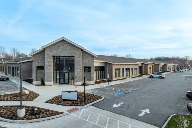
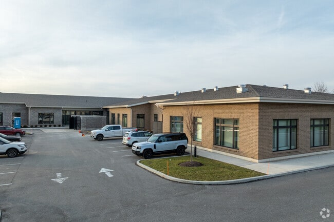
Property Record
Corporate Cir, Westlake, OH 44145

NEARBY LISTINGS FOR SALE OR LEASE
Property Detail
Corporate Cir
211-26-075
Westlake Office Park Subdivision
Miscellaneous
PARCEL A-1 AFN- 201909240629
X
Cuyahoga
39035C0129E
Ohio
0
13.44 AC
2024
West
189108
Cleveland
36,844 SF
Cleveland-Elyria, OH
DEMOGRAPHICS near Corporate Cir
1 Mile
3 Mile
5 Mile
2024 Total Population
8,339
56,207
146,281
2029 Population
8,129
55,180
145,146
Pop Growth 2024-2029
(2.52%)
(1.83%)
(0.78%)
Average Age
44
44
44
2024 Total Households
3,857
22,503
60,366
HH Growth 2024-2029
(2.59%)
(2.02%)
(1.03%)
Median Household Inc
$91,869
$104,271
$89,308
Avg Household Size
2.00
2.40
2.40
2024 Avg HH Vehicles
2.00
2.00
2.00
Median Home Value
$350,122
$295,774
$251,579
Median Year Built
1989
1977
1973
Nearby Places
Map Layers
Map Styles
 Street
 Aerial
- Restaurants
- Banks
- Shops
- Fitness
- Groceries
PUBLIC TRANSPORTATION
AIRPORT
Cleveland-Hopkins International
DRIVE
WALK
Distance
Cleveland-Hopkins International
18 min
6.9 mi
Freight Ports
Port of Toledo
DRIVE
WALK
Distance
Port of Toledo
124 min
101.2 mi
SALE & LEASE HISTORY
LISTING DATE
SALE/LEASE

Jun 03, 2020
For Lease
Dec 10, 2019
For Lease
Dec 08, 2022
For Lease
Nearby Properties
Address
Land Use
TOTAL SIZE
Lot Size
Zoning
Address
Land Use
TOTAL SIZE
Lot Size
Zoning
1,239,072 SF
26.47 AC
PUD
Address
Land Use
TOTAL SIZE
Lot Size
Zoning
318,724 SF
41.71 AC
EI
Address
Land Use
TOTAL SIZE
Lot Size
Zoning
602,400 SF
5.04 AC
PUD
Address
Land Use
TOTAL SIZE
Lot Size
Zoning
321,868 SF
71.81 AC
Address
Land Use
TOTAL SIZE
Lot Size
Zoning
354,041 SF
6.16 AC
F-1F80
Address
Land Use
TOTAL SIZE
Lot Size
Zoning
115,677 SF
33.09 AC
EI
Address
Land Use
TOTAL SIZE
Lot Size
Zoning
154,058 SF
29.97 AC
Address
Land Use
TOTAL SIZE
Lot Size
Zoning
457,220 SF
41.84 AC
CRG
Address
Land Use
TOTAL SIZE
Lot Size
Zoning
126,640 SF
93.63 AC
Address
Land Use
TOTAL SIZE
Lot Size
Zoning
633,719 SF
17.16 AC
CRG
Address
Land Use
TOTAL SIZE
Lot Size
Zoning
264,435 SF
25.85 AC
SC
Address
Land Use
TOTAL SIZE
Lot Size
Zoning
148,688 SF
17.15 AC
Address
Land Use
TOTAL SIZE
Lot Size
Zoning
117,673 SF
7.35 AC
1F-5
Address
Land Use
TOTAL SIZE
Lot Size
Zoning
144,000 SF
10.79 AC
1F5
Address
Land Use
TOTAL SIZE
Lot Size
Zoning
230,687 SF
15.98 AC
Address
Land Use
TOTAL SIZE
Lot Size
Zoning
45,810 SF
36.64 AC
EI
Address
Land Use
TOTAL SIZE
Lot Size
Zoning
553,692 SF
80.04 AC
Address
Land Use
TOTAL SIZE
Lot Size
Zoning
193,858 SF
19.65 AC
R-MF24
Address
Land Use
TOTAL SIZE
Lot Size
Zoning
17,121 SF
19.06 AC
R-MF24
Address
Land Use
TOTAL SIZE
Lot Size
Zoning
153,082 SF
13.93 AC
R-MF24
Address
Land Use
TOTAL SIZE
Lot Size
Zoning
78,879 SF
16.63 AC
R-MF24
Address
Land Use
TOTAL SIZE
Lot Size
Zoning
251,049 SF
13.95 AC
R-MF24
Address
Land Use
TOTAL SIZE
Lot Size
Zoning
123,093 SF
7.31 AC
MFS
Address
Land Use
TOTAL SIZE
Lot Size
Zoning
103,795 SF
19.39 AC
F-1F80
Address
Land Use
TOTAL SIZE
Lot Size
Zoning
129,089 SF
19.21 AC
OB
Address
Land Use
TOTAL SIZE
Lot Size
Zoning
240,506 SF
18.95 AC
Address
Land Use
TOTAL SIZE
Lot Size
Zoning
184,174 SF
24.39 AC
RB
Address
Land Use
TOTAL SIZE
Lot Size
Zoning
111,856 SF
0.99 AC
Address
Land Use
TOTAL SIZE
Lot Size
Zoning
37,464 SF
11.14 AC
The World's #1 Commercial Real Estate Marketplace
Connect with us
© 2026 CoStar Group
The information above has been obtained from sources believed reliable. While we do not doubt its accuracy we have not verified it and make no guarantee, warranty or representation about it. It is your responsibility to independently confirm its accuracy and completeness. Any projections, opinions, assumptions, or estimates used are for example only and do not represent the current or future performance of the property. The value of this transaction to you depends on tax and other factors which should be evaluated by your tax, financial, and legal advisors. You and your advisors should conduct a careful, independent investigation of the property to determine to your satisfaction the suitability of the property for your needs.