Property Record
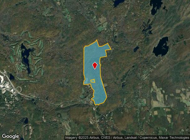
115 Cossaduck Hill Rd, North Stonington, CT 06359
This Property Is For Sale
NEARBY LISTINGS FOR SALE OR LEASE
Property Detail
115 Cossaduck Hill Rd
NSTO-000078-000000-002027
New London
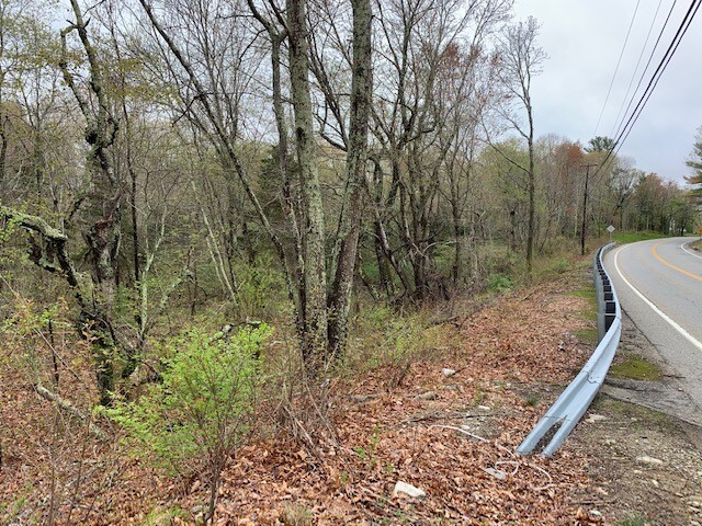
Timberlandforesttreesagricultural
Connecticut
X
2027
09011C0382J
514.15 AC
2025
NE New London/Norwich
2025
Hartford
707100
Norwich-New London, CT
2,682 SF
DEMOGRAPHICS near 115 Cossaduck Hill Rd
1 Mile
3 Mile
5 Mile
2024 Total Population
125
2,561
9,823
2029 Population
124
2,518
9,624
Pop Growth 2024-2029
(0.80%)
(1.68%)
(2.03%)
Average Age
43
44
43
2024 Total Households
48
1,004
3,827
HH Growth 2024-2029
0.00%
(1.79%)
(2.12%)
Median Household Inc
$132,500
$78,684
$88,808
Avg Household Size
2.60
2.50
2.50
2024 Avg HH Vehicles
2.00
2.00
2.00
Median Home Value
$366,666
$354,509
$311,099
Median Year Built
1975
1970
1969
Nearby Places
- Restaurants
- Banks
- Shops
- Fitness
- Groceries
PUBLIC TRANSPORTATION
COMMUTER RAIL
Westerly Amtrak Station (Northeast Regional - Amtrak)
DRIVE
WALK
Distance
Westerly Amtrak Station (Northeast Regional - Amtrak)
14 min
9.7 mi
Freight Ports
Port of Davisville, RI
DRIVE
WALK
Distance
Port of Davisville, RI
59 min
41.7 mi
Nearby Properties
Address
Land Use
TOTAL SIZE
Lot Size
Zoning
Address
Land Use
TOTAL SIZE
Lot Size
Zoning
393.02 AC
R80
Address
Land Use
TOTAL SIZE
Lot Size
Zoning
55,521 SF
37.62 AC
R60
Address
Land Use
TOTAL SIZE
Lot Size
Zoning
20.51 AC
RCCD
Address
Land Use
TOTAL SIZE
Lot Size
Zoning
912.10 AC
C
Address
Land Use
TOTAL SIZE
Lot Size
Zoning
87,327 SF
7.93 AC
C
Address
Land Use
TOTAL SIZE
Lot Size
Zoning
35.50 AC
RCCD
Address
Land Use
TOTAL SIZE
Lot Size
Zoning
24.54 AC
R80
Address
Land Use
TOTAL SIZE
Lot Size
Zoning
57,278 SF
5.04 AC
C
Address
Land Use
TOTAL SIZE
Lot Size
Zoning
202.57 AC
R80
Address
Land Use
TOTAL SIZE
Lot Size
Zoning
5,478 SF
15.37 AC
R60
Address
Land Use
TOTAL SIZE
Lot Size
Zoning
301.55 AC
R80
Address
Land Use
TOTAL SIZE
Lot Size
Zoning
5.14 AC
R80
Address
Land Use
TOTAL SIZE
Lot Size
Zoning
38.24 AC
RC
Address
Land Use
TOTAL SIZE
Lot Size
Zoning
Address
Land Use
TOTAL SIZE
Lot Size
Zoning
1,559 SF
57.66 AC
RCCD
Address
Land Use
TOTAL SIZE
Lot Size
Zoning
5,477 SF
1.12 AC
R80
Address
Land Use
TOTAL SIZE
Lot Size
Zoning
7.60 AC
R40
Address
Land Use
TOTAL SIZE
Lot Size
Zoning
4,270 SF
22.85 AC
R40
Address
Land Use
TOTAL SIZE
Lot Size
Zoning
74.22 AC
RCCD
Address
Land Use
TOTAL SIZE
Lot Size
Zoning
0.98 AC
R80
Address
Land Use
TOTAL SIZE
Lot Size
Zoning
8,080 SF
2.55 AC
C
Address
Land Use
TOTAL SIZE
Lot Size
Zoning
4,732 SF
1.96 AC
RCCD
Address
Land Use
TOTAL SIZE
Lot Size
Zoning
648 SF
204.33 AC
R80
Address
Land Use
TOTAL SIZE
Lot Size
Zoning
7,228 SF
35 AC
R80
Address
Land Use
TOTAL SIZE
Lot Size
Zoning
1,431 SF
1.87 AC
VC
Address
Land Use
TOTAL SIZE
Lot Size
Zoning
1,319.51 AC
R80
Address
Land Use
TOTAL SIZE
Lot Size
Zoning
7,491 SF
3.32 AC
R80
Address
Land Use
TOTAL SIZE
Lot Size
Zoning
Address
Land Use
TOTAL SIZE
Lot Size
Zoning
54.52 AC
R80
Address
Land Use
TOTAL SIZE
Lot Size
Zoning
528 SF
118 AC
R80
The World's #1 Commercial Real Estate Marketplace
Connect with us
© 2025 CoStar Group
The information above has been obtained from sources believed reliable. While we do not doubt its accuracy we have not verified it and make no guarantee, warranty or representation about it. It is your responsibility to independently confirm its accuracy and completeness. Any projections, opinions, assumptions, or estimates used are for example only and do not represent the current or future performance of the property. The value of this transaction to you depends on tax and other factors which should be evaluated by your tax, financial, and legal advisors. You and your advisors should conduct a careful, independent investigation of the property to determine to your satisfaction the suitability of the property for your needs.