Property Record
County Road 38, Angleton, TX 77515


Property Detail
County Road 38
0360-0002-001
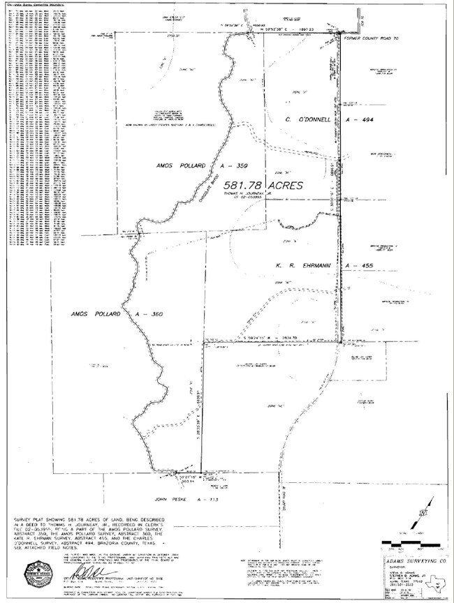
A0360 A POLLARD TRACT 1 ACRES 145.00
Agriculturalland
BRAZORIA
0002
Texas
AE The base floodplain where base flood elevations are provided. AE Zones are now used on new format FIRMs instead of A1-A30 Zones.
145 AC
2024
South Hwy 35
2025
Houston
662100
Houston-Pasadena-The Woodlands, TX
NEARBY LISTINGS FOR SALE OR LEASE
-
-
View all Angleton listings for sale on LoopNet.com
DEMOGRAPHICS near County Road 38
1 mile
3 mile
5 mile
2025 Total Population
56
3,753
23,138
2030 Population
65
4,242
26,079
Pop Growth 2025-2030
+ 16.07%
+ 13.03%
+ 12.71%
Average Age
38
38
38
2025 Total Households
19
1,219
7,656
HH Growth 2025-2030
+ 10.53%
+ 13.29%
+ 12.94%
Median Household Inc
$141,666
$119,134
$109,170
Avg Household Size
2.90
3.00
2.90
2025 Avg HH Vehicles
2.00
2.00
2.00
Median Home Value
$442,857
$403,420
$374,051
Median Year Built
2010
2006
2002
Nearby Places
Map Layers
Map Styles
 Street
 Aerial
Layers
 Traffic
 Biking
Places
Listings with unknown addresses are not visible on the map
- Restaurants
- Banks
- Shops
- Fitness
- Groceries
PUBLIC TRANSPORTATION
AIRPORT
William P Hobby
Drive
Walk
Distance
William P Hobby
44 min
20.3 mi
Freight Ports
Port of Houston
Drive
Walk
Distance
Port of Houston
53 min
31.8 mi
Nearby Properties
Address
Land Use
TOTAL SIZE
Lot Size
Zoning
Address
Land Use
TOTAL SIZE
Lot Size
Zoning
19,001 SF
113.20 AC
0007
Address
Land Use
TOTAL SIZE
Lot Size
Zoning
15,659 SF
5.10 AC
Address
Land Use
TOTAL SIZE
Lot Size
Zoning
3,769 SF
117.39 AC
0001
Address
Land Use
TOTAL SIZE
Lot Size
Zoning
57.70 AC
0004
Address
Land Use
TOTAL SIZE
Lot Size
Zoning
6,338 SF
0.64 AC
0001
Address
Land Use
TOTAL SIZE
Lot Size
Zoning
6,892 SF
25.01 AC
Address
Land Use
TOTAL SIZE
Lot Size
Zoning
5,181 SF
3.20 AC
Address
Land Use
TOTAL SIZE
Lot Size
Zoning
45.60 AC
Address
Land Use
TOTAL SIZE
Lot Size
Zoning
4,689 SF
20 AC
0002
Address
Land Use
TOTAL SIZE
Lot Size
Zoning
4,630 SF
0.36 AC
Address
Land Use
TOTAL SIZE
Lot Size
Zoning
5,238 SF
2 AC
0111
Address
Land Use
TOTAL SIZE
Lot Size
Zoning
84.99 AC
0001
Address
Land Use
TOTAL SIZE
Lot Size
Zoning
2,431 SF
10.02 AC
Address
Land Use
TOTAL SIZE
Lot Size
Zoning
4,959 SF
11.20 AC
Address
Land Use
TOTAL SIZE
Lot Size
Zoning
3,201 SF
3.50 AC
Address
Land Use
TOTAL SIZE
Lot Size
Zoning
4,650 SF
2 AC
Address
Land Use
TOTAL SIZE
Lot Size
Zoning
16,305 SF
11.84 AC
Address
Land Use
TOTAL SIZE
Lot Size
Zoning
7,435 SF
16.99 AC
Address
Land Use
TOTAL SIZE
Lot Size
Zoning
4,973 SF
0.37 AC
Address
Land Use
TOTAL SIZE
Lot Size
Zoning
3,345 SF
7.50 AC
Address
Land Use
TOTAL SIZE
Lot Size
Zoning
924 SF
10.05 AC
Address
Land Use
TOTAL SIZE
Lot Size
Zoning
22.83 AC
0023
Address
Land Use
TOTAL SIZE
Lot Size
Zoning
30 AC
0008
Address
Land Use
TOTAL SIZE
Lot Size
Zoning
2,523 SF
1.88 AC
Address
Land Use
TOTAL SIZE
Lot Size
Zoning
3,288 SF
10.32 AC
Address
Land Use
TOTAL SIZE
Lot Size
Zoning
3,768 SF
5 AC
Address
Land Use
TOTAL SIZE
Lot Size
Zoning
3,085 SF
1.01 AC
Address
Land Use
TOTAL SIZE
Lot Size
Zoning
6,000 SF
120.48 AC
0003
Address
Land Use
TOTAL SIZE
Lot Size
Zoning
3,475 SF
0.18 AC
Address
Land Use
TOTAL SIZE
Lot Size
Zoning
3,500 SF
39.05 AC
0021
The World's #1 Commercial Real Estate Marketplace
Connect with us
© 2026 CoStar Group
The information above has been obtained from sources believed reliable. While we do not doubt its accuracy we have not verified it and make no guarantee, warranty or representation about it. It is your responsibility to independently confirm its accuracy and completeness. Any projections, opinions, assumptions, or estimates used are for example only and do not represent the current or future performance of the property. The value of this transaction to you depends on tax and other factors which should be evaluated by your tax, financial, and legal advisors. You and your advisors should conduct a careful, independent investigation of the property to determine to your satisfaction the suitability of the property for your needs.