Property Record
Crandall Rd, Yulee, FL 32097
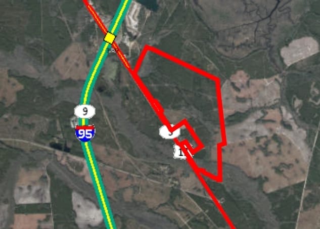
Property Detail
Crandall Rd
Jacksonville, FL
PT THOMAS MAY GRANT SEC 43-3N-27E,PT E WATERMAN GRANT SEC 50-3N-27E,PT JOHN WINGATE GRANT SEC 53-3N-27E, PT WILLIAM J LOFTON GRANTS SEC 54 & 55-3N-27E IN OR 1861/1530 BEING PARCEL 5 (EX PT IN OR 2520/502 & EX FUTURE R/W AGMT PT OR 1486/1820 & OR 2110
50-3N-27-0000-0001-0320
NASSAU
Timberlandforesttreesagricultural
Florida
PD - ENCPA
1
A Areas with a 1% annual chance of flooding and a 26% chance of flooding over the life of a 30-year mortgage.
1,987.77 AC
2025
Nassau County
2025
Jacksonville (Florida)
050304
NEARBY LISTINGS FOR SALE OR LEASE
-
-
View all Yulee listings for sale on LoopNet.com
DEMOGRAPHICS near Crandall Rd
1 mile
3 mile
5 mile
2025 Total Population
33
1,533
11,846
2030 Population
42
1,905
13,681
Pop Growth 2025-2030
+ 27.27%
+ 24.27%
+ 15.49%
Average Age
42
41
40
2025 Total Households
9
445
4,012
HH Growth 2025-2030
+ 33.33%
+ 23.60%
+ 14.91%
Median Household Inc
$133,333
$116,071
$97,543
Avg Household Size
2.40
2.50
2.70
2025 Avg HH Vehicles
1.00
2.00
2.00
Median Home Value
$133,333
$147,983
$307,405
Median Year Built
2011
2011
2010
Nearby Places
Map Layers
Map Styles
 Street
 Aerial
Transit
 Traffic
 Biking
Places
Listings with unknown addresses are not visible on the map
- Restaurants
- Banks
- Shops
- Fitness
- Groceries
PUBLIC TRANSPORTATION
AIRPORT
Jacksonville International
Drive
Walk
Distance
Jacksonville International
34 min
22.3 mi
Freight Ports
Jacksonville Port
Drive
Walk
Distance
Jacksonville Port
44 min
31.7 mi
Nearby Properties
Address
Land Use
TOTAL SIZE
Lot Size
Zoning
Address
Land Use
TOTAL SIZE
Lot Size
Zoning
24,948 SF
42 AC
OR
Address
Land Use
TOTAL SIZE
Lot Size
Zoning
1,216 SF
5,266.11 AC
PD - ENCPA
Address
Land Use
TOTAL SIZE
Lot Size
Zoning
90.52 AC
CHT
Address
Land Use
TOTAL SIZE
Lot Size
Zoning
2,796 SF
8.61 AC
CHT
Address
Land Use
TOTAL SIZE
Lot Size
Zoning
8,722 SF
502.09 AC
PD - ENCPA
Address
Land Use
TOTAL SIZE
Lot Size
Zoning
7,404 SF
1.84 AC
CHT
Address
Land Use
TOTAL SIZE
Lot Size
Zoning
3,194 SF
2.92 AC
OR
Address
Land Use
TOTAL SIZE
Lot Size
Zoning
39,261 SF
4.52 AC
CHT
Address
Land Use
TOTAL SIZE
Lot Size
Zoning
20.57 AC
CHT
Address
Land Use
TOTAL SIZE
Lot Size
Zoning
10 AC
PD - ENCPA
Address
Land Use
TOTAL SIZE
Lot Size
Zoning
27.54 AC
OR
Address
Land Use
TOTAL SIZE
Lot Size
Zoning
13.34 AC
CHT
Address
Land Use
TOTAL SIZE
Lot Size
Zoning
2,247 SF
16.88 AC
OR
Address
Land Use
TOTAL SIZE
Lot Size
Zoning
240 SF
1 AC
PD - ENCPA
Address
Land Use
TOTAL SIZE
Lot Size
Zoning
1,150.19 AC
PD - ENCPA
Address
Land Use
TOTAL SIZE
Lot Size
Zoning
28.37 AC
OR
Address
Land Use
TOTAL SIZE
Lot Size
Zoning
10 AC
CHT
Address
Land Use
TOTAL SIZE
Lot Size
Zoning
1,508 SF
1.21 AC
CHT
Address
Land Use
TOTAL SIZE
Lot Size
Zoning
1,296 SF
20.58 AC
OR
Address
Land Use
TOTAL SIZE
Lot Size
Zoning
6.59 AC
CHT
Address
Land Use
TOTAL SIZE
Lot Size
Zoning
5.87 AC
CHT
Address
Land Use
TOTAL SIZE
Lot Size
Zoning
19,960 SF
1.02 AC
CHT
Address
Land Use
TOTAL SIZE
Lot Size
Zoning
1,800 SF
14.12 AC
OR
Address
Land Use
TOTAL SIZE
Lot Size
Zoning
436 SF
2.05 AC
PD - ENCPA
Address
Land Use
TOTAL SIZE
Lot Size
Zoning
160 SF
151.44 AC
IW
Address
Land Use
TOTAL SIZE
Lot Size
Zoning
392.84 AC
OR
Address
Land Use
TOTAL SIZE
Lot Size
Zoning
1.28 AC
CHT
Address
Land Use
TOTAL SIZE
Lot Size
Zoning
1,728 SF
38.35 AC
PD - ENCPA
Address
Land Use
TOTAL SIZE
Lot Size
Zoning
372.64 AC
PD - ENCPA
The World's #1 Commercial Real Estate Marketplace
Connect with us
© 2026 CoStar Group
The information above has been obtained from sources believed reliable. While we do not doubt its accuracy we have not verified it and make no guarantee, warranty or representation about it. It is your responsibility to independently confirm its accuracy and completeness. Any projections, opinions, assumptions, or estimates used are for example only and do not represent the current or future performance of the property. The value of this transaction to you depends on tax and other factors which should be evaluated by your tax, financial, and legal advisors. You and your advisors should conduct a careful, independent investigation of the property to determine to your satisfaction the suitability of the property for your needs.