Property Record
Crystal Way, Galt, CA 95632
NEARBY LISTINGS FOR SALE OR LEASE
Property Detail
Crystal Way
Sacramento--Roseville--Arden-Arcade, CA
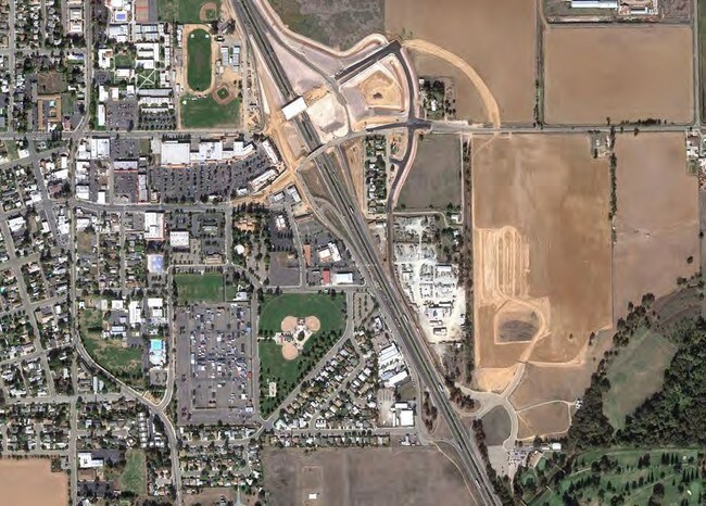
Parcel Map
150-0092-027
PRIOR REF 20051114-2017 11/14/2005
Commercialacreage
Sacramento
AE
California
06067C0606J
b
2024
9.95 AC
2025
Outer Sacramento County
009408
Sacramento
DEMOGRAPHICS near Crystal Way
1 Mile
3 Mile
5 Mile
2024 Total Population
3,313
29,251
32,116
2029 Population
3,326
29,362
32,196
Pop Growth 2024-2029
+ 0.39%
+ 0.38%
+ 0.25%
Average Age
38
39
39
2024 Total Households
1,063
9,360
10,288
HH Growth 2024-2029
+ 0.38%
+ 0.34%
+ 0.22%
Median Household Inc
$64,396
$84,398
$85,879
Avg Household Size
3.10
3.10
3.10
2024 Avg HH Vehicles
2.00
2.00
2.00
Median Home Value
$452,777
$455,262
$464,863
Median Year Built
1979
1992
1991
Nearby Places
Map Layers
Map Styles
 Street
 Aerial
- Restaurants
- Banks
- Shops
- Fitness
- Groceries
PUBLIC TRANSPORTATION
AIRPORT
Stockton Metro
DRIVE
WALK
Distance
Stockton Metro
36 min
28.5 mi
Freight Ports
Port of Stockton
DRIVE
WALK
Distance
Port of Stockton
35 min
27.0 mi
Nearby Properties
Address
Land Use
TOTAL SIZE
Lot Size
Zoning
Address
Land Use
TOTAL SIZE
Lot Size
Zoning
284,700 SF
19.12 AC
LM
Address
Land Use
TOTAL SIZE
Lot Size
Zoning
223,974 SF
12.06 AC
LM
Address
Land Use
TOTAL SIZE
Lot Size
Zoning
77,052 SF
0.93 AC
DC
Address
Land Use
TOTAL SIZE
Lot Size
Zoning
0.99 AC
HC
Address
Land Use
TOTAL SIZE
Lot Size
Zoning
149.14 AC
OS (SP) R2
Address
Land Use
TOTAL SIZE
Lot Size
Zoning
46,376 SF
4.18 AC
C
Address
Land Use
TOTAL SIZE
Lot Size
Zoning
95,616 SF
8.42 AC
R3
Address
Land Use
TOTAL SIZE
Lot Size
Zoning
4,986 SF
1.62 AC
HC
Address
Land Use
TOTAL SIZE
Lot Size
Zoning
52,000 SF
3.28 AC
C
Address
Land Use
TOTAL SIZE
Lot Size
Zoning
1.53 AC
LM
Address
Land Use
TOTAL SIZE
Lot Size
Zoning
18,089 SF
10.36 AC
LM
Address
Land Use
TOTAL SIZE
Lot Size
Zoning
67,312 SF
10.20 AC
LM
Address
Land Use
TOTAL SIZE
Lot Size
Zoning
102,790 SF
6.29 AC
LM
Address
Land Use
TOTAL SIZE
Lot Size
Zoning
50,732 SF
6.19 AC
R2
Address
Land Use
TOTAL SIZE
Lot Size
Zoning
21,304 SF
2.91 AC
C
Address
Land Use
TOTAL SIZE
Lot Size
Zoning
47,710 SF
2.60 AC
R4
Address
Land Use
TOTAL SIZE
Lot Size
Zoning
17,340 SF
1.80 AC
C
Address
Land Use
TOTAL SIZE
Lot Size
Zoning
760 SF
8.35 AC
LM
Address
Land Use
TOTAL SIZE
Lot Size
Zoning
32,567 SF
6.27 AC
R3
Address
Land Use
TOTAL SIZE
Lot Size
Zoning
8,844 SF
6.16 AC
OP
Address
Land Use
TOTAL SIZE
Lot Size
Zoning
12,804 SF
9.89 AC
PQ
Address
Land Use
TOTAL SIZE
Lot Size
Zoning
64,868 SF
3.69 AC
LM
Address
Land Use
TOTAL SIZE
Lot Size
Zoning
4.51 AC
LM
Address
Land Use
TOTAL SIZE
Lot Size
Zoning
32,196 SF
2.89 AC
C
Address
Land Use
TOTAL SIZE
Lot Size
Zoning
80,666 SF
10.48 AC
LM
Address
Land Use
TOTAL SIZE
Lot Size
Zoning
31,660 SF
2.45 AC
R3
Address
Land Use
TOTAL SIZE
Lot Size
Zoning
19,999 SF
1.16 AC
HC
Address
Land Use
TOTAL SIZE
Lot Size
Zoning
39,377 SF
2.94 AC
R3
Address
Land Use
TOTAL SIZE
Lot Size
Zoning
17,718 SF
2.80 AC
PQ
Address
Land Use
TOTAL SIZE
Lot Size
Zoning
54,000 SF
6.99 AC
LM
The World's #1 Commercial Real Estate Marketplace
Connect with us
© 2026 CoStar Group
The information above has been obtained from sources believed reliable. While we do not doubt its accuracy we have not verified it and make no guarantee, warranty or representation about it. It is your responsibility to independently confirm its accuracy and completeness. Any projections, opinions, assumptions, or estimates used are for example only and do not represent the current or future performance of the property. The value of this transaction to you depends on tax and other factors which should be evaluated by your tax, financial, and legal advisors. You and your advisors should conduct a careful, independent investigation of the property to determine to your satisfaction the suitability of the property for your needs.