Property Record
Currency Dr, San Antonio, TX 78219


Save to a Folder
{{folder.Name}}
{{folder.ListingIds.length}} Properties
{{folder.ListingIds.length}} Property
Create a New Folder
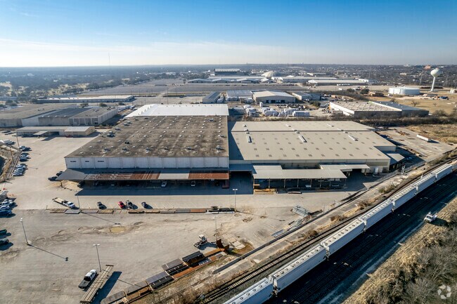
Property Detail
Currency Dr
San Antonio-New Braunfels, TX
NCB 12203 BLK LOT TR-A2 2011-RESURVEY PER DEED 14814/2430 EX 1/3/2011
12203-000-0021
BEXAR
Vacantlandnec
Texas
B and X Area of moderate flood hazard, usually the area between the limits of the 100-year and 500-year floods.
21
2025
26.90 AC
2025
Northeast
131504
San Antonio
NEARBY LISTINGS FOR SALE OR LEASE
DEMOGRAPHICS near Currency Dr
1 mile
3 mile
5 mile
2025 Total Population
5,003
66,382
249,703
2030 Population
5,289
70,665
264,759
Pop Growth 2025-2030
+ 5.72%
+ 6.45%
+ 6.03%
Average Age
32
35
37
2025 Total Households
1,685
21,601
92,926
HH Growth 2025-2030
+ 5.70%
+ 6.53%
+ 6.32%
Median Household Inc
$40,921
$46,643
$61,119
Avg Household Size
2.80
2.80
2.50
2025 Avg HH Vehicles
2.00
2.00
2.00
Median Home Value
$133,613
$167,070
$236,530
Median Year Built
1975
1973
1974
Nearby Places
Map Layers
Map Styles
 Street
 Aerial
Layers
 Traffic
 Biking
Places
Listings with unknown addresses are not visible on the map
- Restaurants
- Banks
- Shops
- Fitness
- Groceries
PUBLIC TRANSPORTATION
COMMUTER RAIL
San Antonio Amtrak Station (Sunset Limited - Amtrak, Texas Eagle - Amtrak)
Drive
Walk
Distance
San Antonio Amtrak Station (Sunset Limited - Amtrak, Texas Eagle - Amtrak)
11 min
5.9 mi
AIRPORT
San Antonio International
Drive
Walk
Distance
San Antonio International
18 min
11.3 mi
Freight Ports
Calhoun Port
Drive
Walk
Distance
Calhoun Port
176 min
144.0 mi
Nearby Properties
Address
Land Use
TOTAL SIZE
Lot Size
Zoning
Address
Land Use
TOTAL SIZE
Lot Size
Zoning
2,544.56 AC
Address
Land Use
TOTAL SIZE
Lot Size
Zoning
1,649,488 SF
70 AC
Address
Land Use
TOTAL SIZE
Lot Size
Zoning
397,806 SF
15.08 AC
Address
Land Use
TOTAL SIZE
Lot Size
Zoning
359,459 SF
15.81 AC
Address
Land Use
TOTAL SIZE
Lot Size
Zoning
202,609 SF
3.25 AC
Address
Land Use
TOTAL SIZE
Lot Size
Zoning
71,253 SF
25.52 AC
Address
Land Use
TOTAL SIZE
Lot Size
Zoning
Address
Land Use
TOTAL SIZE
Lot Size
Zoning
35.76 AC
Address
Land Use
TOTAL SIZE
Lot Size
Zoning
139,410 SF
35.75 AC
Address
Land Use
TOTAL SIZE
Lot Size
Zoning
387,440 SF
27.71 AC
Address
Land Use
TOTAL SIZE
Lot Size
Zoning
273,516 SF
17.50 AC
Address
Land Use
TOTAL SIZE
Lot Size
Zoning
132.44 AC
Address
Land Use
TOTAL SIZE
Lot Size
Zoning
110,252 SF
20.04 AC
Address
Land Use
TOTAL SIZE
Lot Size
Zoning
300,987 SF
29.07 AC
Address
Land Use
TOTAL SIZE
Lot Size
Zoning
33.77 AC
Address
Land Use
TOTAL SIZE
Lot Size
Zoning
208,494 SF
9.63 AC
Address
Land Use
TOTAL SIZE
Lot Size
Zoning
300,555 SF
29.35 AC
Address
Land Use
TOTAL SIZE
Lot Size
Zoning
280,365 SF
17.72 AC
Address
Land Use
TOTAL SIZE
Lot Size
Zoning
437,807 SF
24.55 AC
Address
Land Use
TOTAL SIZE
Lot Size
Zoning
221,760 SF
7.22 AC
Address
Land Use
TOTAL SIZE
Lot Size
Zoning
306,000 SF
20.23 AC
Address
Land Use
TOTAL SIZE
Lot Size
Zoning
15.42 AC
Address
Land Use
TOTAL SIZE
Lot Size
Zoning
25,164 SF
13.31 AC
Address
Land Use
TOTAL SIZE
Lot Size
Zoning
251,680 SF
15.52 AC
Address
Land Use
TOTAL SIZE
Lot Size
Zoning
101,517 SF
13.04 AC
Address
Land Use
TOTAL SIZE
Lot Size
Zoning
224,840 SF
17.27 AC
Address
Land Use
TOTAL SIZE
Lot Size
Zoning
199,280 SF
11.50 AC
Address
Land Use
TOTAL SIZE
Lot Size
Zoning
362,280 SF
17.84 AC
Address
Land Use
TOTAL SIZE
Lot Size
Zoning
467,359 SF
34.88 AC
Address
Land Use
TOTAL SIZE
Lot Size
Zoning
12.55 AC
The World's #1 Commercial Real Estate Marketplace
Connect with us
© 2026 CoStar Group
The information above has been obtained from sources believed reliable. While we do not doubt its accuracy we have not verified it and make no guarantee, warranty or representation about it. It is your responsibility to independently confirm its accuracy and completeness. Any projections, opinions, assumptions, or estimates used are for example only and do not represent the current or future performance of the property. The value of this transaction to you depends on tax and other factors which should be evaluated by your tax, financial, and legal advisors. You and your advisors should conduct a careful, independent investigation of the property to determine to your satisfaction the suitability of the property for your needs.