Property Record
Denver Ave, Charlotte, NC 28208

Property Detail
Denver Ave
Charlotte-Concord-Gastonia, NC-SC
L1 M72-885
061-071-70
MECKLENBURG
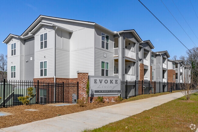
Multifamilydwelling
North Carolina
R-22MF
1
B and X Area of moderate flood hazard, usually the area between the limits of the 100-year and 500-year floods.
6.76 AC
0
Westerly Hills
2025
Charlotte
004000
NEARBY LISTINGS FOR SALE OR LEASE
DEMOGRAPHICS near Denver Ave
1 mile
3 mile
5 mile
2025 Total Population
6,289
63,833
195,911
2030 Population
6,966
70,462
215,123
Pop Growth 2025-2030
+ 10.76%
+ 10.38%
+ 9.81%
Average Age
38
36
36
2025 Total Households
2,404
26,728
88,752
HH Growth 2025-2030
+ 10.90%
+ 10.63%
+ 10.04%
Median Household Inc
$53,689
$58,713
$76,843
Avg Household Size
2.50
2.30
2.10
2025 Avg HH Vehicles
1.00
2.00
2.00
Median Home Value
$176,414
$326,946
$403,964
Median Year Built
1972
1989
1999
Nearby Places
Map Layers
Map Styles
 Street
 Aerial
Layers
 Traffic
 Biking
Places
Listings with unknown addresses are not visible on the map
- Restaurants
- Banks
- Shops
- Fitness
- Groceries
PUBLIC TRANSPORTATION
COMMUTER RAIL
Charlotte Amtrak Station (Carolinian - Amtrak, Crescent - Amtrak, Piedmont - Amtrak)
Drive
Walk
Distance
Charlotte Amtrak Station (Carolinian - Amtrak, Crescent - Amtrak, Piedmont - Amtrak)
11 min
6.0 mi
AIRPORT
Charlotte/Douglas International
Drive
Walk
Distance
Charlotte/Douglas International
11 min
4.5 mi
Concord-Padgett Regional
Drive
Walk
Distance
Concord-Padgett Regional
29 min
18.8 mi
Freight Ports
North Charleston Terminal
Drive
Walk
Distance
North Charleston Terminal
229 min
199.8 mi
Nearby Properties
Address
Land Use
TOTAL SIZE
Lot Size
Zoning
Address
Land Use
TOTAL SIZE
Lot Size
Zoning
5,290,257 SF
502.52 AC
I2
Address
Land Use
TOTAL SIZE
Lot Size
Zoning
309.30 AC
I-2
Address
Land Use
TOTAL SIZE
Lot Size
Zoning
1,519,630 SF
235.59 AC
I2
Address
Land Use
TOTAL SIZE
Lot Size
Zoning
639,406 SF
2.76 AC
TOD-UC
Address
Land Use
TOTAL SIZE
Lot Size
Zoning
689,165 SF
1.30 AC
Address
Land Use
TOTAL SIZE
Lot Size
Zoning
187,366 SF
4.06 AC
TOD-UC
Address
Land Use
TOTAL SIZE
Lot Size
Zoning
581,470 SF
2.55 AC
I2
Address
Land Use
TOTAL SIZE
Lot Size
Zoning
490,957 SF
4.32 AC
I2
Address
Land Use
TOTAL SIZE
Lot Size
Zoning
614,308 SF
1.35 AC
TOD-M(O)
Address
Land Use
TOTAL SIZE
Lot Size
Zoning
399,398 SF
35.02 AC
Address
Land Use
TOTAL SIZE
Lot Size
Zoning
266,073 SF
4.36 AC
I2
Address
Land Use
TOTAL SIZE
Lot Size
Zoning
621,107 SF
250.06 AC
I2
Address
Land Use
TOTAL SIZE
Lot Size
Zoning
500,799 SF
4.48 AC
I2
Address
Land Use
TOTAL SIZE
Lot Size
Zoning
471,178 SF
3.55 AC
B1
Address
Land Use
TOTAL SIZE
Lot Size
Zoning
100.51 AC
I-2
Address
Land Use
TOTAL SIZE
Lot Size
Zoning
262,862 SF
3.01 AC
I2
Address
Land Use
TOTAL SIZE
Lot Size
Zoning
24.40 AC
UR-2(CD)
Address
Land Use
TOTAL SIZE
Lot Size
Zoning
23,502 SF
3.31 AC
TOD-CC
Address
Land Use
TOTAL SIZE
Lot Size
Zoning
448,599 SF
3.16 AC
B1
Address
Land Use
TOTAL SIZE
Lot Size
Zoning
473,430 SF
3.35 AC
I1
Address
Land Use
TOTAL SIZE
Lot Size
Zoning
416,720 SF
81 AC
I2
Address
Land Use
TOTAL SIZE
Lot Size
Zoning
182,742 SF
324.42 AC
I2
Address
Land Use
TOTAL SIZE
Lot Size
Zoning
320,495 SF
10.03 AC
MUDDO
Address
Land Use
TOTAL SIZE
Lot Size
Zoning
382,514 SF
2.60 AC
TOD-NC
Address
Land Use
TOTAL SIZE
Lot Size
Zoning
350,120 SF
3.40 AC
MUDD-O
Address
Land Use
TOTAL SIZE
Lot Size
Zoning
661,612 SF
32.38 AC
I1CD
Address
Land Use
TOTAL SIZE
Lot Size
Zoning
312,782 SF
24.86 AC
I2
Address
Land Use
TOTAL SIZE
Lot Size
Zoning
249,730 SF
5.93 AC
Address
Land Use
TOTAL SIZE
Lot Size
Zoning
268,872 SF
48.51 AC
I1CD
Address
Land Use
TOTAL SIZE
Lot Size
Zoning
375,318 SF
37.31 AC
B2
The World's #1 Commercial Real Estate Marketplace
Connect with us
© 2026 CoStar Group
The information above has been obtained from sources believed reliable. While we do not doubt its accuracy we have not verified it and make no guarantee, warranty or representation about it. It is your responsibility to independently confirm its accuracy and completeness. Any projections, opinions, assumptions, or estimates used are for example only and do not represent the current or future performance of the property. The value of this transaction to you depends on tax and other factors which should be evaluated by your tax, financial, and legal advisors. You and your advisors should conduct a careful, independent investigation of the property to determine to your satisfaction the suitability of the property for your needs.