Property Record
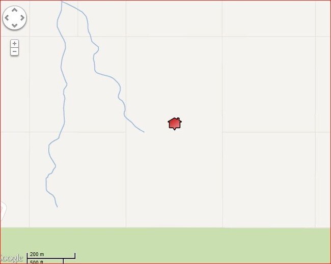
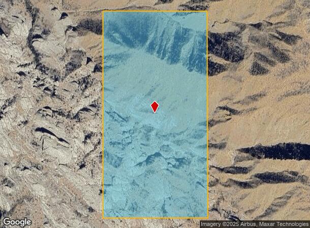
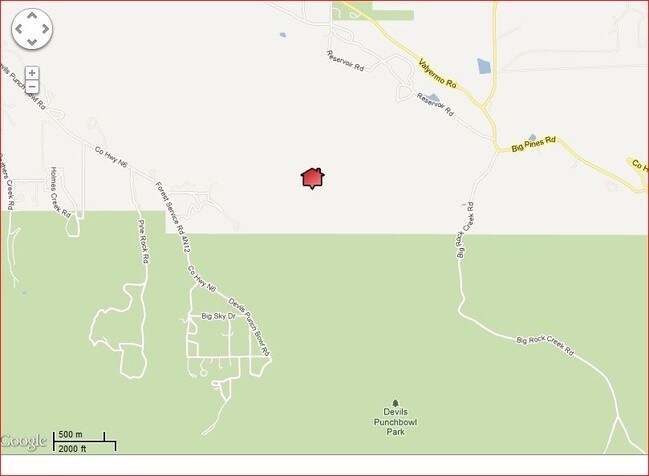
Devil Punchbowl, Llano, CA 93544
NEARBY LISTINGS FOR SALE OR LEASE
-
-
View all Llano listings for sale on LoopNet.com
Property Detail
Devil Punchbowl
Los Angeles-Long Beach-Glendale, CA
80 ACS E 1/2 OF SE 1/4 OF SEC 18 T 4N R 9W
3061-012-030
Los Angeles
Desertorbarrenland
California
D
18
06037C0975F
80.36 AC
2024
East LA County Outlying
2025
Los Angeles
911001
DEMOGRAPHICS near Devil Punchbowl
1 mile
3 mile
5 mile
2024 Total Population
50
543
2,068
2029 Population
47
515
1,962
Pop Growth 2024-2029
(6.00%)
(5.16%)
(5.13%)
Average Age
46
46
46
2024 Total Households
17
198
797
HH Growth 2024-2029
(5.88%)
(5.56%)
(5.52%)
Median Household Inc
$67,500
$72,999
$68,168
Avg Household Size
2.20
2.50
2.50
2024 Avg HH Vehicles
3.00
2.00
2.00
Median Home Value
$466,666
$431,395
$355,445
Median Year Built
1975
1975
1975
Nearby Places
Map Layers
Map Styles
 Street
 Aerial
Transit
 Traffic
 Biking
Places
Listings with unknown addresses are not visible on the map
- Restaurants
- Banks
- Shops
- Fitness
- Groceries
SALE & LEASE HISTORY
LISTING DATE
SALE/LEASE

Aug 31, 2017
For Sale
Nearby Properties
Address
Land Use
TOTAL SIZE
Lot Size
Zoning
Address
Land Use
TOTAL SIZE
Lot Size
Zoning
13,869 SF
79.83 AC
LCA21*
Address
Land Use
TOTAL SIZE
Lot Size
Zoning
3,850 SF
156.81 AC
LCA11*
Address
Land Use
TOTAL SIZE
Lot Size
Zoning
8,344 SF
39.79 AC
LCA22*
Address
Land Use
TOTAL SIZE
Lot Size
Zoning
27,490 SF
41.06 AC
LCA21*
Address
Land Use
TOTAL SIZE
Lot Size
Zoning
12,561 SF
136.52 AC
LCRR*
Address
Land Use
TOTAL SIZE
Lot Size
Zoning
5,306 SF
5.08 AC
LCA120000*
Address
Land Use
TOTAL SIZE
Lot Size
Zoning
161.26 AC
LCC4-A22*
Address
Land Use
TOTAL SIZE
Lot Size
Zoning
2,822 SF
0.53 AC
LCA120000*
Address
Land Use
TOTAL SIZE
Lot Size
Zoning
2,578 SF
0.47 AC
LCR1
Address
Land Use
TOTAL SIZE
Lot Size
Zoning
2,977 SF
1.25 AC
LCA11*
Address
Land Use
TOTAL SIZE
Lot Size
Zoning
3,685 SF
4.85 AC
LCA15*
Address
Land Use
TOTAL SIZE
Lot Size
Zoning
2,680 SF
4.95 AC
LCA11*
Address
Land Use
TOTAL SIZE
Lot Size
Zoning
1,969 SF
19.73 AC
LCA11*
Address
Land Use
TOTAL SIZE
Lot Size
Zoning
2,313 SF
13.22 AC
LCA22*
Address
Land Use
TOTAL SIZE
Lot Size
Zoning
3,840 SF
5 AC
LCA11*
Address
Land Use
TOTAL SIZE
Lot Size
Zoning
3,190 SF
4.86 AC
LCA11*
Address
Land Use
TOTAL SIZE
Lot Size
Zoning
3,003 SF
0.48 AC
LCA120000*
Address
Land Use
TOTAL SIZE
Lot Size
Zoning
1,858 SF
5.15 AC
LCA15*
Address
Land Use
TOTAL SIZE
Lot Size
Zoning
2,070 SF
1.24 AC
LCA11*
Address
Land Use
TOTAL SIZE
Lot Size
Zoning
2,916 SF
1.43 AC
LCA120000*
Address
Land Use
TOTAL SIZE
Lot Size
Zoning
2,827 SF
0.49 AC
LCA120000*
Address
Land Use
TOTAL SIZE
Lot Size
Zoning
2,189 SF
0.49 AC
LCA120000*
Address
Land Use
TOTAL SIZE
Lot Size
Zoning
2,946 SF
9.80 AC
LCA11*
Address
Land Use
TOTAL SIZE
Lot Size
Zoning
3,357 SF
0.53 AC
LCA120000*
Address
Land Use
TOTAL SIZE
Lot Size
Zoning
2,470 SF
0.47 AC
LCA120000*
Address
Land Use
TOTAL SIZE
Lot Size
Zoning
2,344 SF
2.55 AC
LCA120000*
Address
Land Use
TOTAL SIZE
Lot Size
Zoning
3,625 SF
20.93 AC
LCA21-A11*
Address
Land Use
TOTAL SIZE
Lot Size
Zoning
2,382 SF
0.54 AC
LCA120000*
Address
Land Use
TOTAL SIZE
Lot Size
Zoning
2,686 SF
1.24 AC
LCA11*
Address
Land Use
TOTAL SIZE
Lot Size
Zoning
1,802 SF
3.73 AC
LCA11*
The World's #1 Commercial Real Estate Marketplace
Connect with us
© 2026 CoStar Group
The information above has been obtained from sources believed reliable. While we do not doubt its accuracy we have not verified it and make no guarantee, warranty or representation about it. It is your responsibility to independently confirm its accuracy and completeness. Any projections, opinions, assumptions, or estimates used are for example only and do not represent the current or future performance of the property. The value of this transaction to you depends on tax and other factors which should be evaluated by your tax, financial, and legal advisors. You and your advisors should conduct a careful, independent investigation of the property to determine to your satisfaction the suitability of the property for your needs.