Property Record
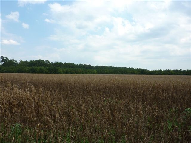
Devils Racetrack Rd, Four Oaks, NC 27524


Property Detail
Devils Racetrack Rd
08J12195J
1680
Vacantlandnec
JOHNSTON
RAG
North Carolina
AE The base floodplain where base flood elevations are provided. AE Zones are now used on new format FIRMs instead of A1-A30 Zones.
36 AC
2025
Johnston County
2025
Raleigh/Durham
041203
Raleigh-Cary, NC
NEARBY LISTINGS FOR SALE OR LEASE
-
-
View all Four Oaks listings for sale on LoopNet.com
DEMOGRAPHICS near Devils Racetrack Rd
1 mile
3 mile
5 mile
2025 Total Population
169
2,516
9,560
2030 Population
189
2,800
10,676
Pop Growth 2025-2030
+ 11.83%
+ 11.29%
+ 11.67%
Average Age
40
39
40
2025 Total Households
62
942
3,688
HH Growth 2025-2030
+ 12.90%
+ 11.36%
+ 11.74%
Median Household Inc
$76,786
$72,423
$73,221
Avg Household Size
2.60
2.60
2.50
2025 Avg HH Vehicles
2.00
2.00
2.00
Median Home Value
$196,428
$162,385
$238,080
Median Year Built
1993
1987
1987
Nearby Places
Map Layers
Map Styles
 Street
 Aerial
Layers
 Traffic
 Biking
Places
Listings with unknown addresses are not visible on the map
- Restaurants
- Banks
- Shops
- Fitness
- Groceries
PUBLIC TRANSPORTATION
AIRPORT
Fayetteville Regional/Grannis Field
Drive
Walk
Distance
Fayetteville Regional/Grannis Field
61 min
48.4 mi
SALE & LEASE HISTORY
LISTING DATE
SALE/LEASE

Jul 25, 2017
For Sale
Nearby Properties
Address
Land Use
TOTAL SIZE
Lot Size
Zoning
Address
Land Use
TOTAL SIZE
Lot Size
Zoning
705,050 SF
129.75 AC
IND
Address
Land Use
TOTAL SIZE
Lot Size
Zoning
2,304 SF
27.39 AC
COM
Address
Land Use
TOTAL SIZE
Lot Size
Zoning
555.66 AC
RAG
Address
Land Use
TOTAL SIZE
Lot Size
Zoning
464.68 AC
RAG
Address
Land Use
TOTAL SIZE
Lot Size
Zoning
12,980 SF
3.46 AC
RAG
Address
Land Use
TOTAL SIZE
Lot Size
Zoning
9,217 SF
2 AC
COM
Address
Land Use
TOTAL SIZE
Lot Size
Zoning
7,826 SF
6.70 AC
RAG
Address
Land Use
TOTAL SIZE
Lot Size
Zoning
54.56 AC
IND
Address
Land Use
TOTAL SIZE
Lot Size
Zoning
4,684 SF
2 AC
RAG
Address
Land Use
TOTAL SIZE
Lot Size
Zoning
263.67 AC
RAG
Address
Land Use
TOTAL SIZE
Lot Size
Zoning
151.07 AC
RAG
Address
Land Use
TOTAL SIZE
Lot Size
Zoning
91 AC
RAG
Address
Land Use
TOTAL SIZE
Lot Size
Zoning
211 AC
RAG
Address
Land Use
TOTAL SIZE
Lot Size
Zoning
327.07 AC
RAG
Address
Land Use
TOTAL SIZE
Lot Size
Zoning
91.53 AC
RAG
Address
Land Use
TOTAL SIZE
Lot Size
Zoning
6,098 SF
1.03 AC
RAG
Address
Land Use
TOTAL SIZE
Lot Size
Zoning
80.44 AC
RAG
Address
Land Use
TOTAL SIZE
Lot Size
Zoning
33.02 AC
IND
Address
Land Use
TOTAL SIZE
Lot Size
Zoning
11,984 SF
2.62 AC
RAG
Address
Land Use
TOTAL SIZE
Lot Size
Zoning
155.55 AC
RAG
Address
Land Use
TOTAL SIZE
Lot Size
Zoning
5,200 SF
1.85 AC
RAG
Address
Land Use
TOTAL SIZE
Lot Size
Zoning
66.03 AC
RAG
Address
Land Use
TOTAL SIZE
Lot Size
Zoning
8,538 SF
2.86 AC
RAG
Address
Land Use
TOTAL SIZE
Lot Size
Zoning
4,364 SF
1.88 AC
RAG
Address
Land Use
TOTAL SIZE
Lot Size
Zoning
148.29 AC
RAG
Address
Land Use
TOTAL SIZE
Lot Size
Zoning
12,400 SF
30 AC
IND
Address
Land Use
TOTAL SIZE
Lot Size
Zoning
111.85 AC
RAG
Address
Land Use
TOTAL SIZE
Lot Size
Zoning
129 AC
RAG
Address
Land Use
TOTAL SIZE
Lot Size
Zoning
220.09 AC
RAG
Address
Land Use
TOTAL SIZE
Lot Size
Zoning
79.94 AC
RAG
The World's #1 Commercial Real Estate Marketplace
Connect with us
© 2026 CoStar Group
The information above has been obtained from sources believed reliable. While we do not doubt its accuracy we have not verified it and make no guarantee, warranty or representation about it. It is your responsibility to independently confirm its accuracy and completeness. Any projections, opinions, assumptions, or estimates used are for example only and do not represent the current or future performance of the property. The value of this transaction to you depends on tax and other factors which should be evaluated by your tax, financial, and legal advisors. You and your advisors should conduct a careful, independent investigation of the property to determine to your satisfaction the suitability of the property for your needs.