Property Record
Dogwood Ln, Duncan, SC 29334


Save to a Folder
{{folder.Name}}
{{folder.ListingIds.length}} Properties
{{folder.ListingIds.length}} Property
Create a New Folder
Property Detail
Dogwood Ln
Spartanburg, SC
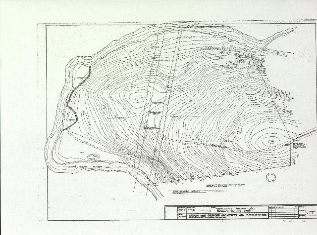
S SIDE DOGWOOD LN W OF I-85 1991 SURVEY IN FILE PB 171-600
5-25-07-005.02
SPARTANBURG
Taxexempt
South Carolina
AE The base floodplain where base flood elevations are provided. AE Zones are now used on new format FIRMs instead of A1-A30 Zones.
50.08 AC
2022
Rt 290 Corridor
2025
Greenville/Spartanburg
023101
NEARBY LISTINGS FOR SALE OR LEASE
DEMOGRAPHICS near Dogwood Ln
1 mile
3 mile
5 mile
2025 Total Population
2,393
22,449
55,456
2030 Population
2,664
24,947
62,209
Pop Growth 2025-2030
+ 11.32%
+ 11.13%
+ 12.18%
Average Age
38
37
38
2025 Total Households
849
8,522
20,648
HH Growth 2025-2030
+ 11.43%
+ 11.17%
+ 12.19%
Median Household Inc
$77,905
$71,577
$73,999
Avg Household Size
2.70
2.60
2.60
2025 Avg HH Vehicles
2.00
2.00
2.00
Median Home Value
$274,548
$268,885
$267,947
Median Year Built
1999
2001
2001
Nearby Places
Map Layers
Map Styles
 Street
 Aerial
Layers
 Traffic
 Biking
Places
Listings with unknown addresses are not visible on the map
- Restaurants
- Banks
- Shops
- Fitness
- Groceries
PUBLIC TRANSPORTATION
AIRPORT
Greenville Spartanburg International
Drive
Walk
Distance
Greenville Spartanburg International
16 min
8.6 mi
Freight Ports
North Charleston Terminal
Drive
Walk
Distance
North Charleston Terminal
225 min
196.2 mi
Nearby Properties
Address
Land Use
TOTAL SIZE
Lot Size
Zoning
Address
Land Use
TOTAL SIZE
Lot Size
Zoning
241,696 SF
15.12 AC
Address
Land Use
TOTAL SIZE
Lot Size
Zoning
235,600 SF
14.48 AC
Address
Land Use
TOTAL SIZE
Lot Size
Zoning
873,910 SF
31.46 AC
Address
Land Use
TOTAL SIZE
Lot Size
Zoning
318,450 SF
22.63 AC
Address
Land Use
TOTAL SIZE
Lot Size
Zoning
303,442 SF
21.23 AC
Address
Land Use
TOTAL SIZE
Lot Size
Zoning
95.88 AC
Address
Land Use
TOTAL SIZE
Lot Size
Zoning
1,320,000 SF
130.98 AC
Address
Land Use
TOTAL SIZE
Lot Size
Zoning
185,745 SF
14.17 AC
Address
Land Use
TOTAL SIZE
Lot Size
Zoning
61,536 SF
16.16 AC
Address
Land Use
TOTAL SIZE
Lot Size
Zoning
2,528 SF
14.74 AC
Address
Land Use
TOTAL SIZE
Lot Size
Zoning
111.08 AC
Address
Land Use
TOTAL SIZE
Lot Size
Zoning
417,082 SF
10 AC
Address
Land Use
TOTAL SIZE
Lot Size
Zoning
66.99 AC
Address
Land Use
TOTAL SIZE
Lot Size
Zoning
1,281 SF
41.23 AC
Address
Land Use
TOTAL SIZE
Lot Size
Zoning
27,288 SF
19.85 AC
Address
Land Use
TOTAL SIZE
Lot Size
Zoning
2,417 SF
21.12 AC
Address
Land Use
TOTAL SIZE
Lot Size
Zoning
177,675 SF
39.88 AC
Address
Land Use
TOTAL SIZE
Lot Size
Zoning
1,218 SF
34.73 AC
Address
Land Use
TOTAL SIZE
Lot Size
Zoning
2,497 SF
12.36 AC
Address
Land Use
TOTAL SIZE
Lot Size
Zoning
26,472 SF
3.90 AC
Address
Land Use
TOTAL SIZE
Lot Size
Zoning
29.56 AC
Address
Land Use
TOTAL SIZE
Lot Size
Zoning
736,169 SF
24.99 AC
Address
Land Use
TOTAL SIZE
Lot Size
Zoning
15.17 AC
Address
Land Use
TOTAL SIZE
Lot Size
Zoning
33.40 AC
Address
Land Use
TOTAL SIZE
Lot Size
Zoning
1,798 SF
9.63 AC
Address
Land Use
TOTAL SIZE
Lot Size
Zoning
18.27 AC
Address
Land Use
TOTAL SIZE
Lot Size
Zoning
15,300 SF
13.48 AC
Address
Land Use
TOTAL SIZE
Lot Size
Zoning
38,313 SF
15.53 AC
Address
Land Use
TOTAL SIZE
Lot Size
Zoning
67,938 SF
8.02 AC
Address
Land Use
TOTAL SIZE
Lot Size
Zoning
The World's #1 Commercial Real Estate Marketplace
Connect with us
© 2026 CoStar Group
The information above has been obtained from sources believed reliable. While we do not doubt its accuracy we have not verified it and make no guarantee, warranty or representation about it. It is your responsibility to independently confirm its accuracy and completeness. Any projections, opinions, assumptions, or estimates used are for example only and do not represent the current or future performance of the property. The value of this transaction to you depends on tax and other factors which should be evaluated by your tax, financial, and legal advisors. You and your advisors should conduct a careful, independent investigation of the property to determine to your satisfaction the suitability of the property for your needs.