Property Record
Doyle Rd, Deltona, FL 32738
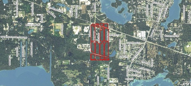


NEARBY LISTINGS FOR SALE OR LEASE
Property Detail
Doyle Rd
Deltona-Daytona Beach-Ormond Beach, FL
Inc Poinsetta Park
9111-03-00-0230
11 19 31 LOTS 23 TO 26 INC & LOTS 124 TO 156 INC POINSETTA PARK PER OR 5543 PGS 0801-0867 PER OR 8117 PG 0227
Residentialacreage
Volusia
X
Florida
12127C0755K
23
2025
5.77 AC
2026
Deltona
091036
Deltona/Daytona Beach
DEMOGRAPHICS near Doyle Rd
1 Mile
3 Mile
5 Mile
2024 Total Population
2,967
24,210
70,424
2029 Population
3,357
26,710
77,169
Pop Growth 2024-2029
+ 13.14%
+ 10.33%
+ 9.58%
Average Age
40
41
40
2024 Total Households
1,005
8,694
25,022
HH Growth 2024-2029
+ 13.33%
+ 10.47%
+ 9.73%
Median Household Inc
$69,728
$66,144
$65,491
Avg Household Size
2.80
2.70
2.70
2024 Avg HH Vehicles
2.00
2.00
2.00
Median Home Value
$211,631
$228,004
$218,214
Median Year Built
1993
1988
1987
Nearby Places
Map Layers
Map Styles
 Street
 Aerial
- Restaurants
- Banks
- Shops
- Fitness
- Groceries
PUBLIC TRANSPORTATION
AIRPORT
Orlando Sanford International
DRIVE
WALK
Distance
Orlando Sanford International
21 min
12.9 mi
Daytona Beach International
DRIVE
WALK
Distance
Daytona Beach International
43 min
31.2 mi
Freight Ports
Port Canaveral
DRIVE
WALK
Distance
Port Canaveral
92 min
64.4 mi
SALE & LEASE HISTORY
LISTING DATE
SALE/LEASE

Sep 24, 2016
For Sale
Nearby Properties
Address
Land Use
TOTAL SIZE
Lot Size
Zoning
Address
Land Use
TOTAL SIZE
Lot Size
Zoning
318,438 SF
78.41 AC
A1
Address
Land Use
TOTAL SIZE
Lot Size
Zoning
174,085 SF
40.50 AC
01R
Address
Land Use
TOTAL SIZE
Lot Size
Zoning
224,577 SF
24.64 AC
RR
Address
Land Use
TOTAL SIZE
Lot Size
Zoning
104,514 SF
33.32 AC
P
Address
Land Use
TOTAL SIZE
Lot Size
Zoning
109,425 SF
21.84 AC
01PUD
Address
Land Use
TOTAL SIZE
Lot Size
Zoning
105,535 SF
13.05 AC
P
Address
Land Use
TOTAL SIZE
Lot Size
Zoning
56,243 SF
7.57 AC
C1
Address
Land Use
TOTAL SIZE
Lot Size
Zoning
8,046 SF
269.35 AC
A1
Address
Land Use
TOTAL SIZE
Lot Size
Zoning
38,144 SF
52 AC
A3
Address
Land Use
TOTAL SIZE
Lot Size
Zoning
78,735 SF
5.90 AC
01B5
Address
Land Use
TOTAL SIZE
Lot Size
Zoning
25,531 SF
14.76 AC
01A3
Address
Land Use
TOTAL SIZE
Lot Size
Zoning
48 AC
A2
Address
Land Use
TOTAL SIZE
Lot Size
Zoning
640 AC
C
Address
Land Use
TOTAL SIZE
Lot Size
Zoning
10,336 SF
2.50 AC
01A3
Address
Land Use
TOTAL SIZE
Lot Size
Zoning
546.75 AC
C
Address
Land Use
TOTAL SIZE
Lot Size
Zoning
545 AC
C
Address
Land Use
TOTAL SIZE
Lot Size
Zoning
540 AC
C
Address
Land Use
TOTAL SIZE
Lot Size
Zoning
5,000 SF
481.25 AC
MH3
Address
Land Use
TOTAL SIZE
Lot Size
Zoning
12,136 SF
118.54 AC
RR
Address
Land Use
TOTAL SIZE
Lot Size
Zoning
19,846 SF
5.07 AC
Address
Land Use
TOTAL SIZE
Lot Size
Zoning
13,581 SF
5.41 AC
01A1
Address
Land Use
TOTAL SIZE
Lot Size
Zoning
12,500 SF
6.43 AC
01A3
Address
Land Use
TOTAL SIZE
Lot Size
Zoning
31,970 SF
7.58 AC
A3
Address
Land Use
TOTAL SIZE
Lot Size
Zoning
362.30 AC
A1
Address
Land Use
TOTAL SIZE
Lot Size
Zoning
11.59 AC
01A1
Address
Land Use
TOTAL SIZE
Lot Size
Zoning
16,162 SF
1.76 AC
C1
Address
Land Use
TOTAL SIZE
Lot Size
Zoning
6,272 SF
1.64 AC
C1
Address
Land Use
TOTAL SIZE
Lot Size
Zoning
300 AC
C
Address
Land Use
TOTAL SIZE
Lot Size
Zoning
13.62 AC
Address
Land Use
TOTAL SIZE
Lot Size
Zoning
8,866 SF
0.98 AC
BPUD
The World's #1 Commercial Real Estate Marketplace
Connect with us
© 2026 CoStar Group
The information above has been obtained from sources believed reliable. While we do not doubt its accuracy we have not verified it and make no guarantee, warranty or representation about it. It is your responsibility to independently confirm its accuracy and completeness. Any projections, opinions, assumptions, or estimates used are for example only and do not represent the current or future performance of the property. The value of this transaction to you depends on tax and other factors which should be evaluated by your tax, financial, and legal advisors. You and your advisors should conduct a careful, independent investigation of the property to determine to your satisfaction the suitability of the property for your needs.