No Photo
Property Record
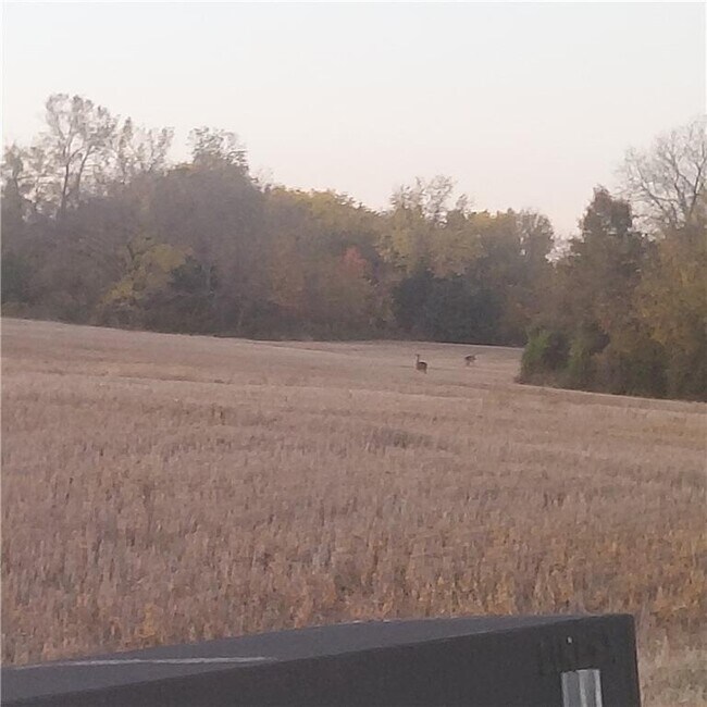
E 315Th St, Drexel, MO 64742

Property Detail
E 315Th St
Kansas City, MO-KS
N4A OF NE NW E OF RR R/W & W & W OF RD
0433903
CASS
Agriculturalland
Missouri
B and X Area of moderate flood hazard, usually the area between the limits of the 100-year and 500-year floods.
4 AC
2024
Cass County
2025
Kansas City
061100
NEARBY LISTINGS FOR SALE OR LEASE
-
-
View all Drexel listings for sale on LoopNet.com
DEMOGRAPHICS near E 315Th St
1 mile
3 mile
5 mile
2025 Total Population
36
353
2,769
2030 Population
38
373
2,912
Pop Growth 2025-2030
+ 5.56%
+ 5.67%
+ 5.16%
Average Age
46
46
44
2025 Total Households
14
139
1,109
HH Growth 2025-2030
+ 7.14%
+ 5.76%
+ 5.41%
Median Household Inc
$99,999
$96,590
$75,882
Avg Household Size
2.50
2.60
2.50
2025 Avg HH Vehicles
3.00
3.00
3.00
Median Home Value
$374,999
$397,367
$343,314
Median Year Built
1987
1991
1988
Nearby Places
Map Layers
Map Styles
 Street
 Aerial
Transit
 Traffic
 Biking
Places
Listings with unknown addresses are not visible on the map
- Restaurants
- Banks
- Shops
- Fitness
- Groceries
SALE & LEASE HISTORY
LISTING DATE
SALE/LEASE

Feb 27, 2025
For Sale
Nearby Properties
Address
Land Use
TOTAL SIZE
Lot Size
Zoning
Address
Land Use
TOTAL SIZE
Lot Size
Zoning
147.81 AC
Address
Land Use
TOTAL SIZE
Lot Size
Zoning
627 AC
Address
Land Use
TOTAL SIZE
Lot Size
Zoning
145.16 AC
AG
Address
Land Use
TOTAL SIZE
Lot Size
Zoning
1,944 SF
152.70 AC
AG
Address
Land Use
TOTAL SIZE
Lot Size
Zoning
194.28 AC
AG
Address
Land Use
TOTAL SIZE
Lot Size
Zoning
598 AC
Address
Land Use
TOTAL SIZE
Lot Size
Zoning
155.84 AC
Address
Land Use
TOTAL SIZE
Lot Size
Zoning
Address
Land Use
TOTAL SIZE
Lot Size
Zoning
Address
Land Use
TOTAL SIZE
Lot Size
Zoning
113.13 AC
AG
Address
Land Use
TOTAL SIZE
Lot Size
Zoning
10.05 AC
Address
Land Use
TOTAL SIZE
Lot Size
Zoning
Address
Land Use
TOTAL SIZE
Lot Size
Zoning
158.20 AC
Address
Land Use
TOTAL SIZE
Lot Size
Zoning
2,386 SF
Address
Land Use
TOTAL SIZE
Lot Size
Zoning
76.63 AC
AG
Address
Land Use
TOTAL SIZE
Lot Size
Zoning
4.04 AC
AG
Address
Land Use
TOTAL SIZE
Lot Size
Zoning
1,508 SF
156.82 AC
CS
Address
Land Use
TOTAL SIZE
Lot Size
Zoning
78.22 AC
AG
Address
Land Use
TOTAL SIZE
Lot Size
Zoning
58.82 AC
AG
Address
Land Use
TOTAL SIZE
Lot Size
Zoning
6.50 AC
AG
Address
Land Use
TOTAL SIZE
Lot Size
Zoning
338.73 AC
Address
Land Use
TOTAL SIZE
Lot Size
Zoning
238.60 AC
Address
Land Use
TOTAL SIZE
Lot Size
Zoning
79.37 AC
Address
Land Use
TOTAL SIZE
Lot Size
Zoning
872 SF
76.30 AC
AG
Address
Land Use
TOTAL SIZE
Lot Size
Zoning
230.80 AC
Address
Land Use
TOTAL SIZE
Lot Size
Zoning
68.25 AC
AG
Address
Land Use
TOTAL SIZE
Lot Size
Zoning
75.28 AC
AG
Address
Land Use
TOTAL SIZE
Lot Size
Zoning
54.25 AC
AG
Address
Land Use
TOTAL SIZE
Lot Size
Zoning
1,440 SF
10 AC
Address
Land Use
TOTAL SIZE
Lot Size
Zoning
The World's #1 Commercial Real Estate Marketplace
Connect with us
© 2026 CoStar Group
The information above has been obtained from sources believed reliable. While we do not doubt its accuracy we have not verified it and make no guarantee, warranty or representation about it. It is your responsibility to independently confirm its accuracy and completeness. Any projections, opinions, assumptions, or estimates used are for example only and do not represent the current or future performance of the property. The value of this transaction to you depends on tax and other factors which should be evaluated by your tax, financial, and legal advisors. You and your advisors should conduct a careful, independent investigation of the property to determine to your satisfaction the suitability of the property for your needs.