Property Record
E 20Th St, Wolfforth, TX 79382

Property Detail
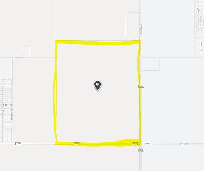
E 20Th St
Lubbock, TX
BLK AK SEC 24 AB 885 TR 2 AC: 9.163
R44608
LUBBOCK
Farms
Texas
A Areas with a 1% annual chance of flooding and a 26% chance of flooding over the life of a 30-year mortgage.
5000
2024
9.16 AC
2025
Outlying Lubbock County
010420
Lubbock
NEARBY LISTINGS FOR SALE OR LEASE
DEMOGRAPHICS near E 20Th St
1 mile
3 mile
5 mile
2024 Total Population
2,804
25,453
69,452
2029 Population
3,012
27,287
74,294
Pop Growth 2024-2029
+ 7.42%
+ 7.21%
+ 6.97%
Average Age
34
35
37
2024 Total Households
1,049
9,044
27,386
HH Growth 2024-2029
+ 7.82%
+ 7.45%
+ 7.18%
Median Household Inc
$76,712
$92,350
$85,316
Avg Household Size
2.60
2.80
2.50
2024 Avg HH Vehicles
2.00
2.00
2.00
Median Home Value
$215,084
$258,086
$253,201
Median Year Built
2010
2008
2002
Nearby Places
Map Layers
Map Styles
 Street
 Aerial
Transit
 Traffic
 Biking
Places
Listings with unknown addresses are not visible on the map
- Restaurants
- Banks
- Shops
- Fitness
- Groceries
PUBLIC TRANSPORTATION
AIRPORT
Lubbock Preston Smith International
Drive
Walk
Distance
Lubbock Preston Smith International
38 min
23.2 mi
Freight Ports
Tulsa Port Of Catoosa
Drive
Walk
Distance
Tulsa Port Of Catoosa
521 min
480.6 mi
Nearby Properties
Address
Land Use
TOTAL SIZE
Lot Size
Zoning
Address
Land Use
TOTAL SIZE
Lot Size
Zoning
111,769 SF
25.03 AC
Address
Land Use
TOTAL SIZE
Lot Size
Zoning
187,409 SF
15.92 AC
Address
Land Use
TOTAL SIZE
Lot Size
Zoning
388,690 SF
116.13 AC
Address
Land Use
TOTAL SIZE
Lot Size
Zoning
215,338 SF
26.49 AC
Address
Land Use
TOTAL SIZE
Lot Size
Zoning
149,710 SF
10.57 AC
Address
Land Use
TOTAL SIZE
Lot Size
Zoning
137.37 AC
Address
Land Use
TOTAL SIZE
Lot Size
Zoning
217,245 SF
61.96 AC
Address
Land Use
TOTAL SIZE
Lot Size
Zoning
101,400 SF
5.49 AC
Address
Land Use
TOTAL SIZE
Lot Size
Zoning
31,135 SF
8.86 AC
Address
Land Use
TOTAL SIZE
Lot Size
Zoning
46,140 SF
1.61 AC
Address
Land Use
TOTAL SIZE
Lot Size
Zoning
109,728 SF
8.64 AC
Address
Land Use
TOTAL SIZE
Lot Size
Zoning
26,018 SF
1.72 AC
Address
Land Use
TOTAL SIZE
Lot Size
Zoning
54.99 AC
Address
Land Use
TOTAL SIZE
Lot Size
Zoning
135.82 AC
Address
Land Use
TOTAL SIZE
Lot Size
Zoning
67,801 SF
7.50 AC
Address
Land Use
TOTAL SIZE
Lot Size
Zoning
17,140 SF
4.58 AC
Address
Land Use
TOTAL SIZE
Lot Size
Zoning
30,992 SF
2.27 AC
Address
Land Use
TOTAL SIZE
Lot Size
Zoning
24,975 SF
3.82 AC
Address
Land Use
TOTAL SIZE
Lot Size
Zoning
72,066 SF
10 AC
Address
Land Use
TOTAL SIZE
Lot Size
Zoning
26,039 SF
2.32 AC
Address
Land Use
TOTAL SIZE
Lot Size
Zoning
18,671 SF
4.19 AC
Address
Land Use
TOTAL SIZE
Lot Size
Zoning
9,420 SF
1.38 AC
Address
Land Use
TOTAL SIZE
Lot Size
Zoning
32.68 AC
Address
Land Use
TOTAL SIZE
Lot Size
Zoning
85,490 SF
6.01 AC
Address
Land Use
TOTAL SIZE
Lot Size
Zoning
31.30 AC
Address
Land Use
TOTAL SIZE
Lot Size
Zoning
62,095 SF
3.57 AC
Address
Land Use
TOTAL SIZE
Lot Size
Zoning
7,519 SF
1.57 AC
Address
Land Use
TOTAL SIZE
Lot Size
Zoning
9,386 SF
1.43 AC
Address
Land Use
TOTAL SIZE
Lot Size
Zoning
88,000 SF
6.04 AC
Address
Land Use
TOTAL SIZE
Lot Size
Zoning
82,600 SF
7 AC
The World's #1 Commercial Real Estate Marketplace
Connect with us
© 2026 CoStar Group
The information above has been obtained from sources believed reliable. While we do not doubt its accuracy we have not verified it and make no guarantee, warranty or representation about it. It is your responsibility to independently confirm its accuracy and completeness. Any projections, opinions, assumptions, or estimates used are for example only and do not represent the current or future performance of the property. The value of this transaction to you depends on tax and other factors which should be evaluated by your tax, financial, and legal advisors. You and your advisors should conduct a careful, independent investigation of the property to determine to your satisfaction the suitability of the property for your needs.