Property Record
E Division St, Manteno, IL 60950

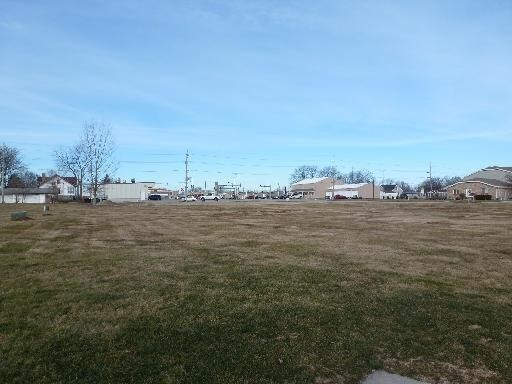
Property Detail
E Division St
Kankakee, IL
TAMBLYN ACRES SUB 5TH LT 1 22-32-12E
03-02-22-127-043
KANKAKEE
Residentialacreage
Illinois
B and X Area of moderate flood hazard, usually the area between the limits of the 100-year and 500-year floods.
1
2024
0.37 AC
2025
Illinois North Area
010201
Other Market Areas
NEARBY LISTINGS FOR SALE OR LEASE
DEMOGRAPHICS near E Division St
1 mile
3 mile
5 mile
2025 Total Population
6,096
10,885
16,308
2030 Population
6,032
10,833
16,326
Pop Growth 2025-2030
(1.05%)
(0.48%)
+ 0.11%
Average Age
45
43
41
2025 Total Households
2,657
4,353
6,297
HH Growth 2025-2030
(1.05%)
(0.53%)
+ 0.06%
Median Household Inc
$83,309
$89,704
$88,908
Avg Household Size
2.30
2.40
2.50
2025 Avg HH Vehicles
2.00
2.00
2.00
Median Home Value
$226,773
$247,032
$239,584
Median Year Built
1990
1993
1994
Nearby Places
Map Layers
Map Styles
 Street
 Aerial
Layers
 Traffic
 Biking
Places
Listings with unknown addresses are not visible on the map
- Restaurants
- Banks
- Shops
- Fitness
- Groceries
SALE & LEASE HISTORY
LISTING DATE
SALE/LEASE

Sep 24, 2016
For Sale
Nov 20, 2019
For Sale
Nearby Properties
Address
Land Use
TOTAL SIZE
Lot Size
Zoning
Address
Land Use
TOTAL SIZE
Lot Size
Zoning
112.85 AC
Address
Land Use
TOTAL SIZE
Lot Size
Zoning
50.11 AC
I2
Address
Land Use
TOTAL SIZE
Lot Size
Zoning
68.70 AC
I2
Address
Land Use
TOTAL SIZE
Lot Size
Zoning
75 AC
I2
Address
Land Use
TOTAL SIZE
Lot Size
Zoning
Address
Land Use
TOTAL SIZE
Lot Size
Zoning
11.58 AC
I2
Address
Land Use
TOTAL SIZE
Lot Size
Zoning
Address
Land Use
TOTAL SIZE
Lot Size
Zoning
17.30 AC
I2
Address
Land Use
TOTAL SIZE
Lot Size
Zoning
Address
Land Use
TOTAL SIZE
Lot Size
Zoning
12 AC
I2
Address
Land Use
TOTAL SIZE
Lot Size
Zoning
13 AC
I2
Address
Land Use
TOTAL SIZE
Lot Size
Zoning
43.74 AC
A1
Address
Land Use
TOTAL SIZE
Lot Size
Zoning
0.60 AC
Address
Land Use
TOTAL SIZE
Lot Size
Zoning
3.50 AC
I2
Address
Land Use
TOTAL SIZE
Lot Size
Zoning
9.11 AC
I2
Address
Land Use
TOTAL SIZE
Lot Size
Zoning
10.26 AC
I2
Address
Land Use
TOTAL SIZE
Lot Size
Zoning
7.32 AC
Address
Land Use
TOTAL SIZE
Lot Size
Zoning
Address
Land Use
TOTAL SIZE
Lot Size
Zoning
12.40 AC
I2
Address
Land Use
TOTAL SIZE
Lot Size
Zoning
Address
Land Use
TOTAL SIZE
Lot Size
Zoning
2.55 AC
Address
Land Use
TOTAL SIZE
Lot Size
Zoning
2.21 AC
Address
Land Use
TOTAL SIZE
Lot Size
Zoning
4.67 AC
Address
Land Use
TOTAL SIZE
Lot Size
Zoning
7.12 AC
I2
Address
Land Use
TOTAL SIZE
Lot Size
Zoning
29.59 AC
Address
Land Use
TOTAL SIZE
Lot Size
Zoning
11.63 AC
I2
Address
Land Use
TOTAL SIZE
Lot Size
Zoning
3.65 AC
I2
Address
Land Use
TOTAL SIZE
Lot Size
Zoning
5.65 AC
I1
Address
Land Use
TOTAL SIZE
Lot Size
Zoning
6.37 AC
The World's #1 Commercial Real Estate Marketplace
Connect with us
© 2026 CoStar Group
The information above has been obtained from sources believed reliable. While we do not doubt its accuracy we have not verified it and make no guarantee, warranty or representation about it. It is your responsibility to independently confirm its accuracy and completeness. Any projections, opinions, assumptions, or estimates used are for example only and do not represent the current or future performance of the property. The value of this transaction to you depends on tax and other factors which should be evaluated by your tax, financial, and legal advisors. You and your advisors should conduct a careful, independent investigation of the property to determine to your satisfaction the suitability of the property for your needs.