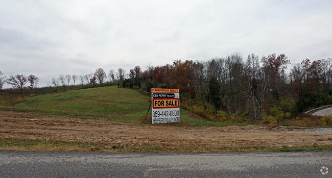
Property Record
E Gap Rd, Newport, KY 41076

NEARBY LISTINGS FOR SALE OR LEASE
Property Detail
E Gap Rd
Cincinnati, OH-KY-IN
Arcadia Acres Sub
999-99-20-344.00
19.9777 ACRES
Commercialnec
Campbell
X
Kentucky
21037C0081E
9.83 AC
2024
Outlying N Kentucky
2025
Cincinnati/Dayton
053301
DEMOGRAPHICS near E Gap Rd
1 Mile
3 Mile
5 Mile
2024 Total Population
1,201
17,848
43,647
2029 Population
1,229
17,998
43,931
Pop Growth 2024-2029
+ 2.33%
+ 0.84%
+ 0.65%
Average Age
43
43
41
2024 Total Households
459
7,188
17,203
HH Growth 2024-2029
+ 2.40%
+ 0.77%
+ 0.63%
Median Household Inc
$87,500
$77,253
$78,618
Avg Household Size
2.50
2.40
2.40
2024 Avg HH Vehicles
2.00
2.00
2.00
Median Home Value
$265,350
$237,577
$228,746
Median Year Built
1989
1989
1985
Nearby Places
Map Layers
Map Styles
 Street
 Aerial
- Restaurants
- Banks
- Shops
- Fitness
- Groceries
PUBLIC TRANSPORTATION
AIRPORT
Cincinnati/Northern Kentucky International
DRIVE
WALK
Distance
Cincinnati/Northern Kentucky International
32 min
17.5 mi
Freight Ports
Port of Toledo
DRIVE
WALK
Distance
Port of Toledo
259 min
214.8 mi
SALE & LEASE HISTORY
LISTING DATE
SALE/LEASE

Dec 08, 2016
For Sale
Nearby Properties
Address
Land Use
TOTAL SIZE
Lot Size
Zoning
Address
Land Use
TOTAL SIZE
Lot Size
Zoning
0.95 AC
Address
Land Use
TOTAL SIZE
Lot Size
Zoning
0.83 AC
Address
Land Use
TOTAL SIZE
Lot Size
Zoning
0.74 AC
Address
Land Use
TOTAL SIZE
Lot Size
Zoning
0.71 AC
Address
Land Use
TOTAL SIZE
Lot Size
Zoning
0.71 AC
Address
Land Use
TOTAL SIZE
Lot Size
Zoning
0.53 AC
Address
Land Use
TOTAL SIZE
Lot Size
Zoning
0.49 AC
Address
Land Use
TOTAL SIZE
Lot Size
Zoning
0.56 AC
Address
Land Use
TOTAL SIZE
Lot Size
Zoning
0.57 AC
Address
Land Use
TOTAL SIZE
Lot Size
Zoning
0.59 AC
Address
Land Use
TOTAL SIZE
Lot Size
Zoning
0.48 AC
Address
Land Use
TOTAL SIZE
Lot Size
Zoning
0.40 AC
Address
Land Use
TOTAL SIZE
Lot Size
Zoning
0.33 AC
Address
Land Use
TOTAL SIZE
Lot Size
Zoning
54.90 AC
Address
Land Use
TOTAL SIZE
Lot Size
Zoning
42,855 SF
9.07 AC
Address
Land Use
TOTAL SIZE
Lot Size
Zoning
16.50 AC
Address
Land Use
TOTAL SIZE
Lot Size
Zoning
207,606 SF
24.33 AC
Address
Land Use
TOTAL SIZE
Lot Size
Zoning
137,878 SF
14.55 AC
Address
Land Use
TOTAL SIZE
Lot Size
Zoning
Address
Land Use
TOTAL SIZE
Lot Size
Zoning
175,481 SF
38.92 AC
Address
Land Use
TOTAL SIZE
Lot Size
Zoning
211,091 SF
28.29 AC
Address
Land Use
TOTAL SIZE
Lot Size
Zoning
1,500 SF
21.25 AC
Address
Land Use
TOTAL SIZE
Lot Size
Zoning
173,940 SF
22.52 AC
Address
Land Use
TOTAL SIZE
Lot Size
Zoning
Address
Land Use
TOTAL SIZE
Lot Size
Zoning
29,264 SF
22.18 AC
Address
Land Use
TOTAL SIZE
Lot Size
Zoning
79,830 SF
10.12 AC
Address
Land Use
TOTAL SIZE
Lot Size
Zoning
77,236 SF
20.21 AC
Address
Land Use
TOTAL SIZE
Lot Size
Zoning
5,142 SF
55.57 AC
Address
Land Use
TOTAL SIZE
Lot Size
Zoning
0.11 AC
Address
Land Use
TOTAL SIZE
Lot Size
Zoning
82,000 SF
4.60 AC
The World's #1 Commercial Real Estate Marketplace
Connect with us
© 2026 CoStar Group
The information above has been obtained from sources believed reliable. While we do not doubt its accuracy we have not verified it and make no guarantee, warranty or representation about it. It is your responsibility to independently confirm its accuracy and completeness. Any projections, opinions, assumptions, or estimates used are for example only and do not represent the current or future performance of the property. The value of this transaction to you depends on tax and other factors which should be evaluated by your tax, financial, and legal advisors. You and your advisors should conduct a careful, independent investigation of the property to determine to your satisfaction the suitability of the property for your needs.