Property Record
E Main St, Winters, CA 95694


Property Detail
E Main St
Sacramento-Roseville-Folsom, CA
LEGAL VERIFIED 2015R0008039 3/31/15
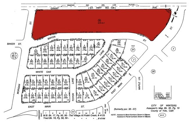
038-190-035-000
YOLO
Residentialacreage
California
R1
1,2
B and X Area of moderate flood hazard, usually the area between the limits of the 100-year and 500-year floods.
6.01 AC
2024
Davis/Woodland
2025
Sacramento
011302
NEARBY LISTINGS FOR SALE OR LEASE
DEMOGRAPHICS near E Main St
1 mile
3 mile
5 mile
2025 Total Population
5,194
9,495
10,265
2030 Population
5,348
9,731
10,459
Pop Growth 2025-2030
+ 2.96%
+ 2.49%
+ 1.89%
Average Age
40
39
40
2025 Total Households
1,801
3,242
3,514
HH Growth 2025-2030
+ 3.22%
+ 2.81%
+ 2.16%
Median Household Inc
$127,121
$135,008
$133,411
Avg Household Size
2.90
2.90
2.90
2025 Avg HH Vehicles
3.00
3.00
3.00
Median Home Value
$694,896
$673,352
$692,955
Median Year Built
1984
1985
1985
Nearby Places
Map Layers
Map Styles
 Street
 Aerial
Layers
 Traffic
 Biking
Places
Listings with unknown addresses are not visible on the map
- Restaurants
- Banks
- Shops
- Fitness
- Groceries
PUBLIC TRANSPORTATION
AIRPORT
Sacramento International
Drive
Walk
Distance
Sacramento International
47 min
30.2 mi
Freight Ports
Port of Richmond
Drive
Walk
Distance
Port of Richmond
71 min
57.1 mi
Nearby Properties
Address
Land Use
TOTAL SIZE
Lot Size
Zoning
Address
Land Use
TOTAL SIZE
Lot Size
Zoning
159.32 AC
A-P
Address
Land Use
TOTAL SIZE
Lot Size
Zoning
5.65 AC
R1
Address
Land Use
TOTAL SIZE
Lot Size
Zoning
1.24 AC
C-2
Address
Land Use
TOTAL SIZE
Lot Size
Zoning
15,437 SF
1.22 AC
C2
Address
Land Use
TOTAL SIZE
Lot Size
Zoning
73,348 SF
0.78 AC
PQP
Address
Land Use
TOTAL SIZE
Lot Size
Zoning
2.39 AC
C11
Address
Land Use
TOTAL SIZE
Lot Size
Zoning
185 AC
Address
Land Use
TOTAL SIZE
Lot Size
Zoning
16.40 AC
HI
Address
Land Use
TOTAL SIZE
Lot Size
Zoning
1,492 SF
120.03 AC
AP
Address
Land Use
TOTAL SIZE
Lot Size
Zoning
13,142 SF
0.66 AC
R1
Address
Land Use
TOTAL SIZE
Lot Size
Zoning
756 SF
160 AC
AP
Address
Land Use
TOTAL SIZE
Lot Size
Zoning
53.44 AC
A20
Address
Land Use
TOTAL SIZE
Lot Size
Zoning
61.65 AC
C/R-1
Address
Land Use
TOTAL SIZE
Lot Size
Zoning
2,175 SF
125.29 AC
AP
Address
Land Use
TOTAL SIZE
Lot Size
Zoning
1,775 SF
26.27 AC
A1
Address
Land Use
TOTAL SIZE
Lot Size
Zoning
13,208 SF
2.42 AC
P-R
Address
Land Use
TOTAL SIZE
Lot Size
Zoning
1.94 AC
R4
Address
Land Use
TOTAL SIZE
Lot Size
Zoning
6,712 SF
147.28 AC
A1
Address
Land Use
TOTAL SIZE
Lot Size
Zoning
3,552 SF
1.27 AC
C2
Address
Land Use
TOTAL SIZE
Lot Size
Zoning
32,100 SF
0.74 AC
R4
Address
Land Use
TOTAL SIZE
Lot Size
Zoning
33,309 SF
0.30 AC
R4
Address
Land Use
TOTAL SIZE
Lot Size
Zoning
2,200 SF
0.69 AC
C11
Address
Land Use
TOTAL SIZE
Lot Size
Zoning
9,100 SF
0.96 AC
C2
Address
Land Use
TOTAL SIZE
Lot Size
Zoning
61.80 AC
Address
Land Use
TOTAL SIZE
Lot Size
Zoning
1.27 AC
HSC
Address
Land Use
TOTAL SIZE
Lot Size
Zoning
912 SF
50 AC
A1
Address
Land Use
TOTAL SIZE
Lot Size
Zoning
2,979 SF
2.98 AC
C2
Address
Land Use
TOTAL SIZE
Lot Size
Zoning
69.54 AC
A1
Address
Land Use
TOTAL SIZE
Lot Size
Zoning
320.16 AC
AP
Address
Land Use
TOTAL SIZE
Lot Size
Zoning
0.50 AC
R3
The World's #1 Commercial Real Estate Marketplace
Connect with us
© 2026 CoStar Group
The information above has been obtained from sources believed reliable. While we do not doubt its accuracy we have not verified it and make no guarantee, warranty or representation about it. It is your responsibility to independently confirm its accuracy and completeness. Any projections, opinions, assumptions, or estimates used are for example only and do not represent the current or future performance of the property. The value of this transaction to you depends on tax and other factors which should be evaluated by your tax, financial, and legal advisors. You and your advisors should conduct a careful, independent investigation of the property to determine to your satisfaction the suitability of the property for your needs.