Property Record
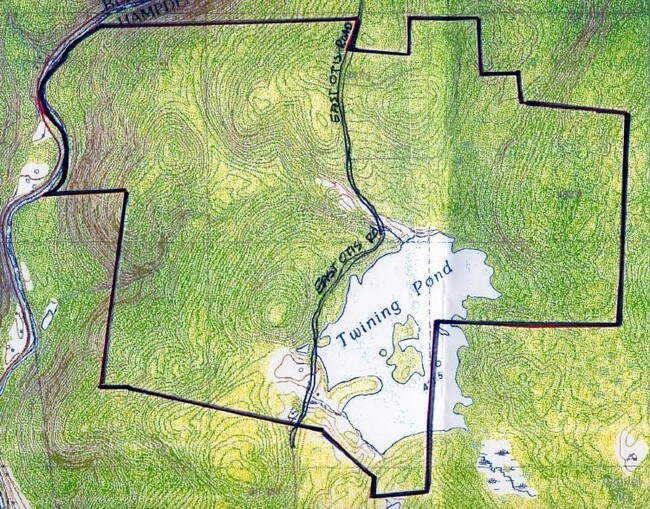
E Otis Rd, Tolland, MA 01034

Property Detail
E Otis Rd
TOLL-004060-000000-000020
HAMPDEN
Stateproperty
Massachusetts
R1
10
B and X Area of moderate flood hazard, usually the area between the limits of the 100-year and 500-year floods.
732 AC
0
Hampden County
2025
Hartford
813002
Springfield, MA
NEARBY LISTINGS FOR SALE OR LEASE
-
-
View all Tolland listings for sale on LoopNet.com
DEMOGRAPHICS near E Otis Rd
1 mile
3 mile
5 mile
2025 Total Population
242
836
1,654
2030 Population
249
860
1,693
Pop Growth 2025-2030
+ 2.89%
+ 2.87%
+ 2.36%
Average Age
47
47
47
2025 Total Households
105
360
692
HH Growth 2025-2030
+ 2.86%
+ 3.06%
+ 2.46%
Median Household Inc
$98,332
$96,933
$99,461
Avg Household Size
2.30
2.30
2.40
2025 Avg HH Vehicles
2.00
2.00
2.00
Median Home Value
$336,956
$334,810
$341,509
Median Year Built
1972
1972
1972
Nearby Places
Map Layers
Map Styles
 Street
 Aerial
Transit
 Traffic
 Biking
Places
Listings with unknown addresses are not visible on the map
- Restaurants
- Banks
- Shops
- Fitness
- Groceries
PUBLIC TRANSPORTATION
AIRPORT
Bradley International
Drive
Walk
Distance
Bradley International
69 min
32.8 mi
Freight Ports
Albany, NY Port
Drive
Walk
Distance
Albany, NY Port
83 min
60.8 mi
Nearby Properties
Address
Land Use
TOTAL SIZE
Lot Size
Zoning
Address
Land Use
TOTAL SIZE
Lot Size
Zoning
0.57 AC
R40
Address
Land Use
TOTAL SIZE
Lot Size
Zoning
116.52 AC
R40
Address
Land Use
TOTAL SIZE
Lot Size
Zoning
0.54 AC
R40
Address
Land Use
TOTAL SIZE
Lot Size
Zoning
2,329 SF
0.39 AC
R1
Address
Land Use
TOTAL SIZE
Lot Size
Zoning
800 SF
410.40 AC
R1
Address
Land Use
TOTAL SIZE
Lot Size
Zoning
0.77 AC
R40
Address
Land Use
TOTAL SIZE
Lot Size
Zoning
0.28 AC
R40
Address
Land Use
TOTAL SIZE
Lot Size
Zoning
1,506 SF
0.53 AC
R1
Address
Land Use
TOTAL SIZE
Lot Size
Zoning
821.80 AC
1
Address
Land Use
TOTAL SIZE
Lot Size
Zoning
1,410 AC
R1
Address
Land Use
TOTAL SIZE
Lot Size
Zoning
0.60 AC
R40
Address
Land Use
TOTAL SIZE
Lot Size
Zoning
0.54 AC
R40
Address
Land Use
TOTAL SIZE
Lot Size
Zoning
1,594 SF
129.65 AC
R40
Address
Land Use
TOTAL SIZE
Lot Size
Zoning
84.03 AC
R40
Address
Land Use
TOTAL SIZE
Lot Size
Zoning
1,200 SF
0.82 AC
R1
Address
Land Use
TOTAL SIZE
Lot Size
Zoning
6,352 SF
7.35 AC
V-1
Address
Land Use
TOTAL SIZE
Lot Size
Zoning
6.01 AC
R40
Address
Land Use
TOTAL SIZE
Lot Size
Zoning
800 SF
0.24 AC
R40
Address
Land Use
TOTAL SIZE
Lot Size
Zoning
2,124 SF
17.20 AC
R40
Address
Land Use
TOTAL SIZE
Lot Size
Zoning
0.42 AC
R40
Address
Land Use
TOTAL SIZE
Lot Size
Zoning
0.34 AC
R40
Address
Land Use
TOTAL SIZE
Lot Size
Zoning
74 AC
R1
Address
Land Use
TOTAL SIZE
Lot Size
Zoning
0.37 AC
R40
Address
Land Use
TOTAL SIZE
Lot Size
Zoning
424 AC
R1
Address
Land Use
TOTAL SIZE
Lot Size
Zoning
10.97 AC
R1
Address
Land Use
TOTAL SIZE
Lot Size
Zoning
397 AC
R1
Address
Land Use
TOTAL SIZE
Lot Size
Zoning
8,558 SF
1.70 AC
V-1
Address
Land Use
TOTAL SIZE
Lot Size
Zoning
0.78 AC
R1
Address
Land Use
TOTAL SIZE
Lot Size
Zoning
0.76 AC
R1
The World's #1 Commercial Real Estate Marketplace
Connect with us
© 2026 CoStar Group
The information above has been obtained from sources believed reliable. While we do not doubt its accuracy we have not verified it and make no guarantee, warranty or representation about it. It is your responsibility to independently confirm its accuracy and completeness. Any projections, opinions, assumptions, or estimates used are for example only and do not represent the current or future performance of the property. The value of this transaction to you depends on tax and other factors which should be evaluated by your tax, financial, and legal advisors. You and your advisors should conduct a careful, independent investigation of the property to determine to your satisfaction the suitability of the property for your needs.