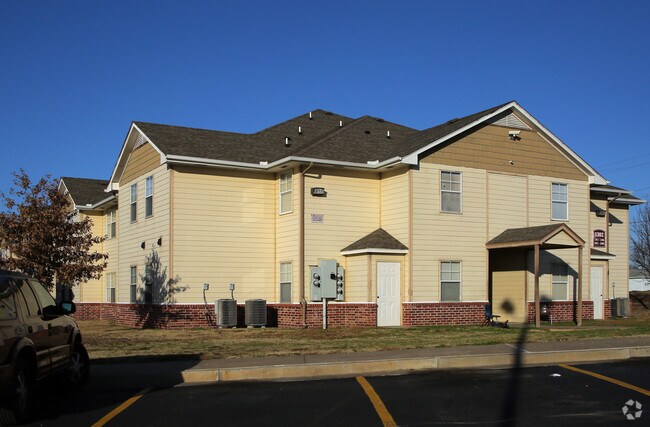
Property Record
E Pine St N, Tulsa, OK 74115


Property Detail
E Pine St N
90336-03-36-20553
ALL THAT PRT NW LYING E GILCREASE EXPY & N OF E LATIMER ST N LESS BEG APROX 50SW NEC NW THSWLY APROX 597.76 WLY APROX 1908.61 TO EL GILCREASE EXPY TH NE APROX 573.55 NE APROX 307 SE APROX 14.13 E TO POB SEC 36 20 13 75.347ACS
Taxexempt
TULSA
AG
Oklahoma
B and X Area of moderate flood hazard, usually the area between the limits of the 100-year and 500-year floods.
75.35 AC
0
North Tulsa
2025
Tulsa
011300
Tulsa, OK
NEARBY LISTINGS FOR SALE OR LEASE
DEMOGRAPHICS near E Pine St N
1 mile
3 mile
5 mile
2025 Total Population
6,158
49,437
152,739
2030 Population
6,406
51,299
158,092
Pop Growth 2025-2030
+ 4.03%
+ 3.77%
+ 3.50%
Average Age
34
36
36
2025 Total Households
2,043
18,793
58,778
HH Growth 2025-2030
+ 4.16%
+ 3.86%
+ 3.66%
Median Household Inc
$55,099
$46,790
$51,337
Avg Household Size
2.80
2.50
2.50
2025 Avg HH Vehicles
2.00
2.00
2.00
Median Home Value
$80,768
$107,745
$144,331
Median Year Built
1958
1961
1963
Nearby Places
Map Layers
Map Styles
 Street
 Aerial
Layers
 Traffic
 Biking
Places
Listings with unknown addresses are not visible on the map
- Restaurants
- Banks
- Shops
- Fitness
- Groceries
PUBLIC TRANSPORTATION
AIRPORT
Tulsa International
Drive
Walk
Distance
Tulsa International
9 min
4.8 mi
Freight Ports
Tulsa Port Of Catoosa
Drive
Walk
Distance
Tulsa Port Of Catoosa
17 min
10.8 mi
SALE & LEASE HISTORY
LISTING DATE
SALE/LEASE

May 11, 2017
For Sale
Nearby Properties
Address
Land Use
TOTAL SIZE
Lot Size
Zoning
Address
Land Use
TOTAL SIZE
Lot Size
Zoning
609,418 SF
177.77 AC
IM
Address
Land Use
TOTAL SIZE
Lot Size
Zoning
350,741 SF
28.01 AC
CS
Address
Land Use
TOTAL SIZE
Lot Size
Zoning
353.75 AC
IL
Address
Land Use
TOTAL SIZE
Lot Size
Zoning
349,823 SF
203.39 AC
IL
Address
Land Use
TOTAL SIZE
Lot Size
Zoning
1 SF
207.77 AC
IM
Address
Land Use
TOTAL SIZE
Lot Size
Zoning
228.59 AC
IL
Address
Land Use
TOTAL SIZE
Lot Size
Zoning
725,973 SF
122.30 AC
IM
Address
Land Use
TOTAL SIZE
Lot Size
Zoning
77,346 SF
8.59 AC
RS3
Address
Land Use
TOTAL SIZE
Lot Size
Zoning
112,556 SF
11.07 AC
CH
Address
Land Use
TOTAL SIZE
Lot Size
Zoning
42,665 SF
493.63 AC
RS3
Address
Land Use
TOTAL SIZE
Lot Size
Zoning
118,824 SF
38.79 AC
IM
Address
Land Use
TOTAL SIZE
Lot Size
Zoning
110.77 AC
IL
Address
Land Use
TOTAL SIZE
Lot Size
Zoning
103,248 SF
8.87 AC
IL
Address
Land Use
TOTAL SIZE
Lot Size
Zoning
36,962 SF
1.23 AC
CH
Address
Land Use
TOTAL SIZE
Lot Size
Zoning
97.68 AC
CH
Address
Land Use
TOTAL SIZE
Lot Size
Zoning
106,270 SF
9.47 AC
RM0
Address
Land Use
TOTAL SIZE
Lot Size
Zoning
124,648 SF
21.23 AC
IL
Address
Land Use
TOTAL SIZE
Lot Size
Zoning
62,352 SF
4.88 AC
CS
Address
Land Use
TOTAL SIZE
Lot Size
Zoning
139.39 AC
IM
Address
Land Use
TOTAL SIZE
Lot Size
Zoning
117,204 SF
9.79 AC
IM
Address
Land Use
TOTAL SIZE
Lot Size
Zoning
34,356 SF
35.67 AC
RS3
Address
Land Use
TOTAL SIZE
Lot Size
Zoning
35,474 SF
6.11 AC
CM
Address
Land Use
TOTAL SIZE
Lot Size
Zoning
35,406 SF
1.51 AC
CH
Address
Land Use
TOTAL SIZE
Lot Size
Zoning
66,324 SF
12.85 AC
CS
Address
Land Use
TOTAL SIZE
Lot Size
Zoning
187,351 SF
218.26 AC
IL
Address
Land Use
TOTAL SIZE
Lot Size
Zoning
185,649 SF
56.23 AC
IL
Address
Land Use
TOTAL SIZE
Lot Size
Zoning
101,090 SF
1.70 AC
RS2
Address
Land Use
TOTAL SIZE
Lot Size
Zoning
40,626 SF
2.25 AC
CS
Address
Land Use
TOTAL SIZE
Lot Size
Zoning
55,425 SF
2.96 AC
IL
The World's #1 Commercial Real Estate Marketplace
Connect with us
© 2026 CoStar Group
The information above has been obtained from sources believed reliable. While we do not doubt its accuracy we have not verified it and make no guarantee, warranty or representation about it. It is your responsibility to independently confirm its accuracy and completeness. Any projections, opinions, assumptions, or estimates used are for example only and do not represent the current or future performance of the property. The value of this transaction to you depends on tax and other factors which should be evaluated by your tax, financial, and legal advisors. You and your advisors should conduct a careful, independent investigation of the property to determine to your satisfaction the suitability of the property for your needs.