Property Record
E State Highway 20 E, Freeport, FL 32439

NEARBY LISTINGS FOR SALE OR LEASE
-
-
-
-
-
No Photo
-
View all Freeport listings for sale on LoopNet.com
Property Detail
E State Highway 20 E
Crestview-Fort Walton Beach-Destin, FL
COM NE/C OF SW4 OF NE4 SEC 19-1S-18W, N 89 DEG 3708W 785.41FT TO POB; S 01 DEG 1818W 695.70FT, S 00 DEG 0000E 457.22FT TO N ROW ST HWY 20, N 85 DEG 5854W 211.84 FT, N 00 DEG 0000W 1139.41 FT, S 89 DEG 3707E 227.17FT TO POB. OR 2765-4407 OR 3268-2671
19-1S-18-14000-003-0030
Walton
Miscellaneous
Florida
X
30
12131C0577H
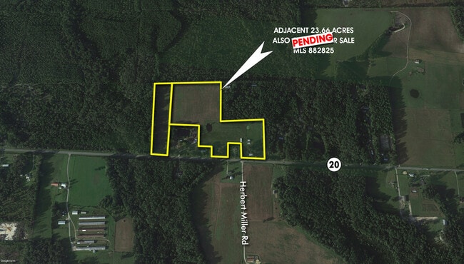
5.51 AC
2025
Florida Panhandle Area
2025
Other Market Areas
950502
DEMOGRAPHICS near E State Highway 20 E
1 Mile
3 Mile
5 Mile
2024 Total Population
147
1,617
8,008
2029 Population
180
1,976
9,930
Pop Growth 2024-2029
+ 22.45%
+ 22.20%
+ 24.00%
Average Age
39
39
38
2024 Total Households
55
602
2,940
HH Growth 2024-2029
+ 21.82%
+ 22.43%
+ 24.29%
Median Household Inc
$57,499
$54,800
$50,682
Avg Household Size
2.60
2.60
2.70
2024 Avg HH Vehicles
2.00
2.00
2.00
Median Home Value
$159,090
$189,130
$265,289
Median Year Built
1998
2000
2005
Nearby Places
Map Layers
Map Styles
 Street
 Aerial
- Restaurants
- Banks
- Shops
- Fitness
- Groceries
PUBLIC TRANSPORTATION
AIRPORT
Northwest Florida Beaches International
DRIVE
WALK
Distance
Northwest Florida Beaches International
38 min
27.9 mi
Eglin AFB/Destin-Ft Walton Beach
DRIVE
WALK
Distance
Eglin AFB/Destin-Ft Walton Beach
65 min
32.4 mi
Freight Ports
Port of Panama City
DRIVE
WALK
Distance
Port of Panama City
55 min
38.6 mi
SALE & LEASE HISTORY
LISTING DATE
SALE/LEASE

Oct 02, 2021
For Sale
Nearby Properties
Address
Land Use
TOTAL SIZE
Lot Size
Zoning
Address
Land Use
TOTAL SIZE
Lot Size
Zoning
469,205 SF
21.39 AC
BYLAGR
Address
Land Use
TOTAL SIZE
Lot Size
Zoning
63,166 SF
9.06 AC
3310
Address
Land Use
TOTAL SIZE
Lot Size
Zoning
306.09 AC
3310
Address
Land Use
TOTAL SIZE
Lot Size
Zoning
Address
Land Use
TOTAL SIZE
Lot Size
Zoning
607.24 AC
RV
Address
Land Use
TOTAL SIZE
Lot Size
Zoning
333.09 AC
3310
Address
Land Use
TOTAL SIZE
Lot Size
Zoning
88.24 AC
3310
Address
Land Use
TOTAL SIZE
Lot Size
Zoning
33,686 SF
230.25 AC
Address
Land Use
TOTAL SIZE
Lot Size
Zoning
28,108 SF
10 AC
Address
Land Use
TOTAL SIZE
Lot Size
Zoning
2,072 SF
23.08 AC
MUNI
Address
Land Use
TOTAL SIZE
Lot Size
Zoning
5,624 SF
1.35 AC
3310
Address
Land Use
TOTAL SIZE
Lot Size
Zoning
51,885 SF
8.65 AC
3310
Address
Land Use
TOTAL SIZE
Lot Size
Zoning
4,400 SF
6.04 AC
3310
Address
Land Use
TOTAL SIZE
Lot Size
Zoning
16,804 SF
2.07 AC
Address
Land Use
TOTAL SIZE
Lot Size
Zoning
42,227 SF
80 AC
Address
Land Use
TOTAL SIZE
Lot Size
Zoning
12,290 SF
1.45 AC
Address
Land Use
TOTAL SIZE
Lot Size
Zoning
10.84 AC
MUNI
Address
Land Use
TOTAL SIZE
Lot Size
Zoning
12,080 SF
3.50 AC
3310
Address
Land Use
TOTAL SIZE
Lot Size
Zoning
2,748 SF
11.57 AC
GA
Address
Land Use
TOTAL SIZE
Lot Size
Zoning
924 SF
11.89 AC
3310
Address
Land Use
TOTAL SIZE
Lot Size
Zoning
17,730 SF
2.68 AC
Address
Land Use
TOTAL SIZE
Lot Size
Zoning
38,148 SF
4.04 AC
3310
Address
Land Use
TOTAL SIZE
Lot Size
Zoning
59,516 SF
4.84 AC
MUNI
Address
Land Use
TOTAL SIZE
Lot Size
Zoning
25,532 SF
4.24 AC
Address
Land Use
TOTAL SIZE
Lot Size
Zoning
25,000 SF
11.60 AC
GA
Address
Land Use
TOTAL SIZE
Lot Size
Zoning
2,344 SF
3.34 AC
3310
Address
Land Use
TOTAL SIZE
Lot Size
Zoning
3,268 SF
1.07 AC
3310
Address
Land Use
TOTAL SIZE
Lot Size
Zoning
4,535 SF
1.09 AC
3310
Address
Land Use
TOTAL SIZE
Lot Size
Zoning
15,627 SF
1.83 AC
3310
Address
Land Use
TOTAL SIZE
Lot Size
Zoning
20,456 SF
3.64 AC
The World's #1 Commercial Real Estate Marketplace
Connect with us
© 2026 CoStar Group
The information above has been obtained from sources believed reliable. While we do not doubt its accuracy we have not verified it and make no guarantee, warranty or representation about it. It is your responsibility to independently confirm its accuracy and completeness. Any projections, opinions, assumptions, or estimates used are for example only and do not represent the current or future performance of the property. The value of this transaction to you depends on tax and other factors which should be evaluated by your tax, financial, and legal advisors. You and your advisors should conduct a careful, independent investigation of the property to determine to your satisfaction the suitability of the property for your needs.