Property Record
178 Nelms Rd, Fayetteville, GA 30215
NEARBY LISTINGS FOR SALE OR LEASE
Property Detail
178 Nelms Rd
Atlanta-Sandy Springs-Roswell, GA
Fayette
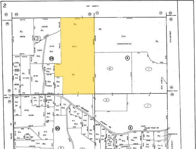
07-02-00-016
Georgia
Sfr
10.70 AC
A
Fayette/Coweta County
13077C0200D
Atlanta
2,598 SF
DEMOGRAPHICS near 178 Nelms Rd
1 Mile
3 Mile
5 Mile
2024 Total Population
1,264
18,085
71,405
2029 Population
1,358
19,226
75,895
Pop Growth 2024-2029
+ 7.44%
+ 6.31%
+ 6.29%
Average Age
39
41
43
2024 Total Households
425
6,288
26,379
HH Growth 2024-2029
+ 7.76%
+ 6.35%
+ 6.33%
Median Household Inc
$109,895
$101,233
$94,240
Avg Household Size
3.00
2.80
2.70
2024 Avg HH Vehicles
2.00
2.00
2.00
Median Home Value
$423,404
$376,066
$361,463
Median Year Built
2006
1995
1992
Nearby Places
Map Layers
Map Styles
 Street
 Aerial
- Restaurants
- Banks
- Shops
- Fitness
- Groceries
PUBLIC TRANSPORTATION
AIRPORT
Hartsfield - Jackson Atlanta International
DRIVE
WALK
Distance
Hartsfield - Jackson Atlanta International
42 min
22.3 mi
Freight Ports
Georgia Ports - Savannah
DRIVE
WALK
Distance
Georgia Ports - Savannah
286 min
243.9 mi
SALE & LEASE HISTORY
LISTING DATE
SALE/LEASE

Oct 22, 2020
For Sale
Nearby Properties
Address
Land Use
TOTAL SIZE
Lot Size
Zoning
Address
Land Use
TOTAL SIZE
Lot Size
Zoning
353,300 SF
38 AC
Address
Land Use
TOTAL SIZE
Lot Size
Zoning
245,406 SF
51.77 AC
Address
Land Use
TOTAL SIZE
Lot Size
Zoning
274,599 SF
28.10 AC
C GR12
Address
Land Use
TOTAL SIZE
Lot Size
Zoning
70,241 SF
11.09 AC
C GR14
Address
Land Use
TOTAL SIZE
Lot Size
Zoning
123,051 SF
20.80 AC
C GR12
Address
Land Use
TOTAL SIZE
Lot Size
Zoning
262,058 SF
44.79 AC
C GC
Address
Land Use
TOTAL SIZE
Lot Size
Zoning
151,533 SF
17.78 AC
C GC
Address
Land Use
TOTAL SIZE
Lot Size
Zoning
106,142 SF
13.93 AC
C GR14
Address
Land Use
TOTAL SIZE
Lot Size
Zoning
82,744 SF
19.94 AC
Address
Land Use
TOTAL SIZE
Lot Size
Zoning
93,072 SF
28.10 AC
C LUC
Address
Land Use
TOTAL SIZE
Lot Size
Zoning
75,052 SF
18.90 AC
Address
Land Use
TOTAL SIZE
Lot Size
Zoning
55,360 SF
4.80 AC
C LUC
Address
Land Use
TOTAL SIZE
Lot Size
Zoning
48,355 SF
26.70 AC
Address
Land Use
TOTAL SIZE
Lot Size
Zoning
35,802 SF
4.39 AC
C OI
Address
Land Use
TOTAL SIZE
Lot Size
Zoning
66,902 SF
8.19 AC
C GC
Address
Land Use
TOTAL SIZE
Lot Size
Zoning
30,050 SF
0.69 AC
C OI
Address
Land Use
TOTAL SIZE
Lot Size
Zoning
44,209 SF
4.71 AC
C LUC
Address
Land Use
TOTAL SIZE
Lot Size
Zoning
79,935 SF
4.10 AC
Address
Land Use
TOTAL SIZE
Lot Size
Zoning
52,793 SF
8 AC
C OI
Address
Land Use
TOTAL SIZE
Lot Size
Zoning
36,631 SF
58.07 AC
Address
Land Use
TOTAL SIZE
Lot Size
Zoning
19,926 SF
7.60 AC
C CH
Address
Land Use
TOTAL SIZE
Lot Size
Zoning
60,832 SF
18.60 AC
Address
Land Use
TOTAL SIZE
Lot Size
Zoning
135,340 SF
28 AC
Address
Land Use
TOTAL SIZE
Lot Size
Zoning
310,313 SF
68.15 AC
C OI
Address
Land Use
TOTAL SIZE
Lot Size
Zoning
40,704 SF
5.90 AC
C OI
Address
Land Use
TOTAL SIZE
Lot Size
Zoning
18,121 SF
2.75 AC
C LUC
Address
Land Use
TOTAL SIZE
Lot Size
Zoning
18,138 SF
2.62 AC
C OI
Address
Land Use
TOTAL SIZE
Lot Size
Zoning
32,860 SF
103.01 AC
Address
Land Use
TOTAL SIZE
Lot Size
Zoning
64,873 SF
76.15 AC
Address
Land Use
TOTAL SIZE
Lot Size
Zoning
4.80 AC
C LUC
The World's #1 Commercial Real Estate Marketplace
Connect with us
© 2025 CoStar Group
The information above has been obtained from sources believed reliable. While we do not doubt its accuracy we have not verified it and make no guarantee, warranty or representation about it. It is your responsibility to independently confirm its accuracy and completeness. Any projections, opinions, assumptions, or estimates used are for example only and do not represent the current or future performance of the property. The value of this transaction to you depends on tax and other factors which should be evaluated by your tax, financial, and legal advisors. You and your advisors should conduct a careful, independent investigation of the property to determine to your satisfaction the suitability of the property for your needs.