Property Record
7215 S Ellsworth Rd, Mesa, AZ 85212
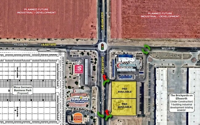
Current Lease Availabilities
Property Detail
7215 S Ellsworth Rd
Phoenix
TECH CENTER AT ELLSWORTH MCR 1753-15
Phoenix-Mesa-Chandler, AZ
MARICOPA
304-62-983
Arizona
Industrialacreage
1
2025
0.90 AC
2025
Gateway Airport/Loop 202
422647
NEARBY LISTINGS FOR SALE OR LEASE
DEMOGRAPHICS near 7215 S Ellsworth Rd
1 mile
3 mile
5 mile
2025 Total Population
1,577
44,887
167,995
2030 Population
1,861
48,673
180,888
Pop Growth 2025-2030
+ 18.01%
+ 8.43%
+ 7.67%
Average Age
35
36
36
2025 Total Households
488
13,412
51,371
HH Growth 2025-2030
+ 18.03%
+ 8.72%
+ 7.75%
Median Household Inc
$168,553
$144,671
$131,422
Avg Household Size
3.20
3.30
3.20
2025 Avg HH Vehicles
2.00
2.00
2.00
Median Home Value
$719,480
$683,457
$640,431
Median Year Built
2011
2010
2010
Nearby Places
Map Layers
Map Styles
 Street
 Aerial
Layers
 Traffic
 Biking
Places
Listings with unknown addresses are not visible on the map
- Restaurants
- Banks
- Shops
- Fitness
- Groceries
PUBLIC TRANSPORTATION
AIRPORT
Phoenix-Mesa Gateway
Drive
Walk
Distance
Phoenix-Mesa Gateway
6 min
3.6 mi
Phoenix Sky Harbor International
Drive
Walk
Distance
Phoenix Sky Harbor International
44 min
31.9 mi
Freight Ports
Port of San Diego
Drive
Walk
Distance
Port of San Diego
417 min
376.8 mi
Nearby Properties
Address
Land Use
TOTAL SIZE
Lot Size
Zoning
Address
Land Use
TOTAL SIZE
Lot Size
Zoning
284.14 AC
Address
Land Use
TOTAL SIZE
Lot Size
Zoning
64.72 AC
LI
Address
Land Use
TOTAL SIZE
Lot Size
Zoning
15.22 AC
Address
Land Use
TOTAL SIZE
Lot Size
Zoning
1,200,340 SF
85.82 AC
Address
Land Use
TOTAL SIZE
Lot Size
Zoning
1,358,386 SF
611.30 AC
LI
Address
Land Use
TOTAL SIZE
Lot Size
Zoning
39.46 AC
Address
Land Use
TOTAL SIZE
Lot Size
Zoning
862,568 SF
420.15 AC
PS
Address
Land Use
TOTAL SIZE
Lot Size
Zoning
37.68 AC
Address
Land Use
TOTAL SIZE
Lot Size
Zoning
1,342,987 SF
225.90 AC
I-2
Address
Land Use
TOTAL SIZE
Lot Size
Zoning
20.68 AC
Address
Land Use
TOTAL SIZE
Lot Size
Zoning
1,069,038 SF
69.72 AC
Address
Land Use
TOTAL SIZE
Lot Size
Zoning
477,934 SF
24.18 AC
MU
Address
Land Use
TOTAL SIZE
Lot Size
Zoning
227,555 SF
53.44 AC
R-43
Address
Land Use
TOTAL SIZE
Lot Size
Zoning
225,990 SF
26.23 AC
I-1
Address
Land Use
TOTAL SIZE
Lot Size
Zoning
254,314 SF
23.55 AC
R-43
Address
Land Use
TOTAL SIZE
Lot Size
Zoning
21,010 SF
2.72 AC
I-1
Address
Land Use
TOTAL SIZE
Lot Size
Zoning
19.83 AC
Address
Land Use
TOTAL SIZE
Lot Size
Zoning
396,754 SF
46.84 AC
PF
Address
Land Use
TOTAL SIZE
Lot Size
Zoning
583,955 SF
34.92 AC
LI
Address
Land Use
TOTAL SIZE
Lot Size
Zoning
266,467 SF
47.47 AC
PF
Address
Land Use
TOTAL SIZE
Lot Size
Zoning
463,567 SF
135.55 AC
I-2
Address
Land Use
TOTAL SIZE
Lot Size
Zoning
152,549 SF
60 AC
PC
Address
Land Use
TOTAL SIZE
Lot Size
Zoning
278,147 SF
49.82 AC
I-2
Address
Land Use
TOTAL SIZE
Lot Size
Zoning
614,544 SF
35.40 AC
Address
Land Use
TOTAL SIZE
Lot Size
Zoning
269,550 SF
63.63 AC
Address
Land Use
TOTAL SIZE
Lot Size
Zoning
50,726 SF
633.66 AC
I-1
Address
Land Use
TOTAL SIZE
Lot Size
Zoning
420,631 SF
23.19 AC
Address
Land Use
TOTAL SIZE
Lot Size
Zoning
218,680 SF
8.50 AC
PC
Address
Land Use
TOTAL SIZE
Lot Size
Zoning
178,266 SF
16.32 AC
Address
Land Use
TOTAL SIZE
Lot Size
Zoning
121,297 SF
27.91 AC
The World's #1 Commercial Real Estate Marketplace
Connect with us
© 2026 CoStar Group
The information above has been obtained from sources believed reliable. While we do not doubt its accuracy we have not verified it and make no guarantee, warranty or representation about it. It is your responsibility to independently confirm its accuracy and completeness. Any projections, opinions, assumptions, or estimates used are for example only and do not represent the current or future performance of the property. The value of this transaction to you depends on tax and other factors which should be evaluated by your tax, financial, and legal advisors. You and your advisors should conduct a careful, independent investigation of the property to determine to your satisfaction the suitability of the property for your needs.