Property Record
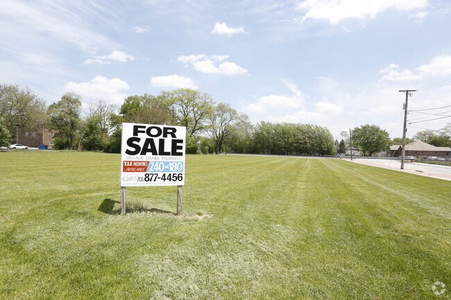
Elm St, Thornton, IL 60476

NEARBY LISTINGS FOR SALE OR LEASE
Property Detail
Elm St
29-34-501-002-0000
Cook
Railroadfacility
Illinois
X
0.32 AC
17031C0753J
Near South Cook
0
Chicago
2025
Chicago-Naperville-Elgin, IL-IN
828300
DEMOGRAPHICS near Elm St
1 Mile
3 Mile
5 Mile
2024 Total Population
2,625
63,954
237,972
2029 Population
2,528
62,373
233,526
Pop Growth 2024-2029
(3.70%)
(2.47%)
(1.87%)
Average Age
43
41
40
2024 Total Households
1,084
23,622
87,612
HH Growth 2024-2029
(4.15%)
(2.78%)
(2.21%)
Median Household Inc
$57,018
$67,017
$58,697
Avg Household Size
2.40
2.60
2.60
2024 Avg HH Vehicles
2.00
2.00
2.00
Median Home Value
$128,187
$154,391
$146,453
Median Year Built
1957
1965
1964
Nearby Places
Map Layers
Map Styles
 Street
 Aerial
- Restaurants
- Banks
- Shops
- Fitness
- Groceries
PUBLIC TRANSPORTATION
COMMUTER RAIL
Calumet Station (Metra Electric Line - Northeast Illinois Regional Commuter Railroad (Metra))
DRIVE
WALK
Distance
Calumet Station (Metra Electric Line - Northeast Illinois Regional Commuter Railroad (Metra))
11 min
4.4 mi
Hazel Crest Station (Metra Electric Line - Northeast Illinois Regional Commuter Railroad (Metra))
DRIVE
WALK
Distance
Hazel Crest Station (Metra Electric Line - Northeast Illinois Regional Commuter Railroad (Metra))
11 min
4.7 mi
AIRPORT
Chicago Midway International
DRIVE
WALK
Distance
Chicago Midway International
36 min
22.1 mi
Freight Ports
Port Milwaukee
DRIVE
WALK
Distance
Port Milwaukee
142 min
108.0 mi
SALE & LEASE HISTORY
LISTING DATE
SALE/LEASE

May 22, 2017
For Sale
Nearby Properties
Address
Land Use
TOTAL SIZE
Lot Size
Zoning
Address
Land Use
TOTAL SIZE
Lot Size
Zoning
Address
Land Use
TOTAL SIZE
Lot Size
Zoning
6.19 AC
Address
Land Use
TOTAL SIZE
Lot Size
Zoning
244,665 SF
9.05 AC
Address
Land Use
TOTAL SIZE
Lot Size
Zoning
4.85 AC
Address
Land Use
TOTAL SIZE
Lot Size
Zoning
69,894 SF
7.60 AC
Address
Land Use
TOTAL SIZE
Lot Size
Zoning
78,884 SF
5.60 AC
Address
Land Use
TOTAL SIZE
Lot Size
Zoning
450,777 SF
25.25 AC
Address
Land Use
TOTAL SIZE
Lot Size
Zoning
60,864 SF
5.55 AC
Address
Land Use
TOTAL SIZE
Lot Size
Zoning
231,296 SF
10.91 AC
Address
Land Use
TOTAL SIZE
Lot Size
Zoning
196,125 SF
18.55 AC
Address
Land Use
TOTAL SIZE
Lot Size
Zoning
Address
Land Use
TOTAL SIZE
Lot Size
Zoning
44,274 SF
3 AC
Address
Land Use
TOTAL SIZE
Lot Size
Zoning
2.86 AC
Address
Land Use
TOTAL SIZE
Lot Size
Zoning
52,220 SF
6 AC
Address
Land Use
TOTAL SIZE
Lot Size
Zoning
Address
Land Use
TOTAL SIZE
Lot Size
Zoning
27,082 SF
0.69 AC
Address
Land Use
TOTAL SIZE
Lot Size
Zoning
44,189 SF
3.09 AC
Address
Land Use
TOTAL SIZE
Lot Size
Zoning
125,535 SF
9.44 AC
Address
Land Use
TOTAL SIZE
Lot Size
Zoning
Address
Land Use
TOTAL SIZE
Lot Size
Zoning
189,489 SF
20 AC
Address
Land Use
TOTAL SIZE
Lot Size
Zoning
86,780 SF
6.03 AC
Address
Land Use
TOTAL SIZE
Lot Size
Zoning
115,250 SF
10.75 AC
Address
Land Use
TOTAL SIZE
Lot Size
Zoning
100,000 SF
18.10 AC
Address
Land Use
TOTAL SIZE
Lot Size
Zoning
111,902 SF
8.60 AC
Address
Land Use
TOTAL SIZE
Lot Size
Zoning
233,490 SF
10.19 AC
Address
Land Use
TOTAL SIZE
Lot Size
Zoning
6.34 AC
Address
Land Use
TOTAL SIZE
Lot Size
Zoning
Address
Land Use
TOTAL SIZE
Lot Size
Zoning
6.21 AC
Address
Land Use
TOTAL SIZE
Lot Size
Zoning
0.34 AC
Address
Land Use
TOTAL SIZE
Lot Size
Zoning
180,139 SF
18.78 AC
The World's #1 Commercial Real Estate Marketplace
Connect with us
© 2026 CoStar Group
The information above has been obtained from sources believed reliable. While we do not doubt its accuracy we have not verified it and make no guarantee, warranty or representation about it. It is your responsibility to independently confirm its accuracy and completeness. Any projections, opinions, assumptions, or estimates used are for example only and do not represent the current or future performance of the property. The value of this transaction to you depends on tax and other factors which should be evaluated by your tax, financial, and legal advisors. You and your advisors should conduct a careful, independent investigation of the property to determine to your satisfaction the suitability of the property for your needs.