Property Record
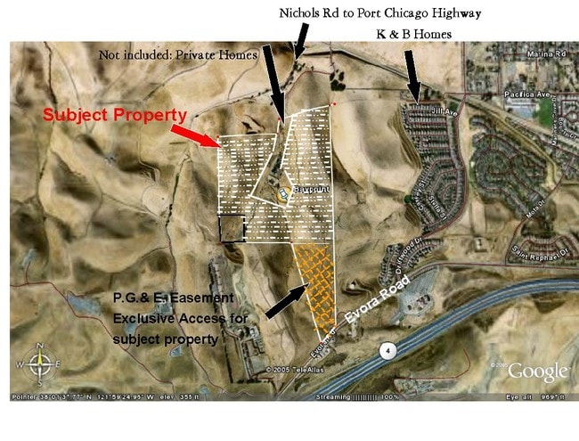
Evora Rd, Bay Point, CA 94565

Property Detail
Evora Rd
099-140-008-6
PCL MAP 39 PG 38 PCL C
Stateproperty
CONTRA COSTA
A2
California
B and X Area of moderate flood hazard, usually the area between the limits of the 100-year and 500-year floods.
50.26 AC
2021
Antioch/Pittsburg
2025
East Bay/Oakland
313206
Oakland-Fremont-Berkeley, CA
NEARBY LISTINGS FOR SALE OR LEASE
DEMOGRAPHICS near Evora Rd
1 mile
3 mile
5 mile
2025 Total Population
3,049
40,443
120,972
2030 Population
3,033
41,161
122,249
Pop Growth 2025-2030
(0.52%)
+ 1.78%
+ 1.06%
Average Age
40
38
40
2025 Total Households
977
11,902
40,283
HH Growth 2025-2030
(0.51%)
+ 1.71%
+ 1.03%
Median Household Inc
$121,579
$114,285
$107,439
Avg Household Size
3.10
3.30
2.90
2025 Avg HH Vehicles
3.00
2.00
2.00
Median Home Value
$675,699
$669,830
$694,444
Median Year Built
1987
1986
1974
Nearby Places
Map Layers
Map Styles
 Street
 Aerial
Transit
 Traffic
 Biking
Places
Listings with unknown addresses are not visible on the map
- Restaurants
- Banks
- Shops
- Fitness
- Groceries
PUBLIC TRANSPORTATION
AIRPORT
Metro Oakland International
Drive
Walk
Distance
Metro Oakland International
46 min
34.1 mi
Freight Ports
Port of Richmond
Drive
Walk
Distance
Port of Richmond
43 min
30.8 mi
SALE & LEASE HISTORY
LISTING DATE
SALE/LEASE

Sep 24, 2016
For Sale
Apr 10, 2017
For Sale
Nearby Properties
Address
Land Use
TOTAL SIZE
Lot Size
Zoning
Address
Land Use
TOTAL SIZE
Lot Size
Zoning
516,154 SF
25.09 AC
Address
Land Use
TOTAL SIZE
Lot Size
Zoning
32,729 SF
7.61 AC
Address
Land Use
TOTAL SIZE
Lot Size
Zoning
59.41 AC
Address
Land Use
TOTAL SIZE
Lot Size
Zoning
270.45 AC
A2
Address
Land Use
TOTAL SIZE
Lot Size
Zoning
443.48 AC
Address
Land Use
TOTAL SIZE
Lot Size
Zoning
9,215 SF
14.73 AC
P1
Address
Land Use
TOTAL SIZE
Lot Size
Zoning
15,000 SF
8.33 AC
P1
Address
Land Use
TOTAL SIZE
Lot Size
Zoning
25.11 AC
P1
Address
Land Use
TOTAL SIZE
Lot Size
Zoning
Address
Land Use
TOTAL SIZE
Lot Size
Zoning
113,792 SF
11.54 AC
Address
Land Use
TOTAL SIZE
Lot Size
Zoning
98,377 SF
6.93 AC
LI
Address
Land Use
TOTAL SIZE
Lot Size
Zoning
83,769 SF
6.31 AC
Address
Land Use
TOTAL SIZE
Lot Size
Zoning
224,132 SF
17.21 AC
Address
Land Use
TOTAL SIZE
Lot Size
Zoning
56,184 SF
3.81 AC
Address
Land Use
TOTAL SIZE
Lot Size
Zoning
6,650 SF
11.70 AC
M29
Address
Land Use
TOTAL SIZE
Lot Size
Zoning
11,588 SF
3.65 AC
P1
Address
Land Use
TOTAL SIZE
Lot Size
Zoning
4,992 SF
15.14 AC
T1
Address
Land Use
TOTAL SIZE
Lot Size
Zoning
118,536 SF
3.86 AC
P-1
Address
Land Use
TOTAL SIZE
Lot Size
Zoning
44,700 SF
32.28 AC
P1
Address
Land Use
TOTAL SIZE
Lot Size
Zoning
14,796 SF
2.17 AC
P1
Address
Land Use
TOTAL SIZE
Lot Size
Zoning
104,732 SF
5.99 AC
P1
Address
Land Use
TOTAL SIZE
Lot Size
Zoning
36,252 SF
3.94 AC
Address
Land Use
TOTAL SIZE
Lot Size
Zoning
56,146 SF
5 AC
Address
Land Use
TOTAL SIZE
Lot Size
Zoning
8,000 SF
9.72 AC
Address
Land Use
TOTAL SIZE
Lot Size
Zoning
23,204 SF
1.11 AC
Address
Land Use
TOTAL SIZE
Lot Size
Zoning
60,426 SF
9.75 AC
Address
Land Use
TOTAL SIZE
Lot Size
Zoning
61,360 SF
3.04 AC
Address
Land Use
TOTAL SIZE
Lot Size
Zoning
0.41 AC
Address
Land Use
TOTAL SIZE
Lot Size
Zoning
100,800 SF
5.74 AC
Address
Land Use
TOTAL SIZE
Lot Size
Zoning
66,306 SF
7.74 AC
The World's #1 Commercial Real Estate Marketplace
Connect with us
© 2026 CoStar Group
The information above has been obtained from sources believed reliable. While we do not doubt its accuracy we have not verified it and make no guarantee, warranty or representation about it. It is your responsibility to independently confirm its accuracy and completeness. Any projections, opinions, assumptions, or estimates used are for example only and do not represent the current or future performance of the property. The value of this transaction to you depends on tax and other factors which should be evaluated by your tax, financial, and legal advisors. You and your advisors should conduct a careful, independent investigation of the property to determine to your satisfaction the suitability of the property for your needs.