Property Record
1546 Ewing Chapel Rd, Dacula, GA 30019

Property Detail
1546 Ewing Chapel Rd
Atlanta-Sandy Springs-Roswell, GA
ACE MCMILLIAN
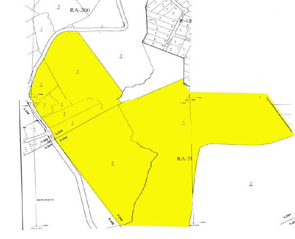
5-264-001
GWINNETT
Vacantlandnec
Georgia
R100
265
AE The base floodplain where base flood elevations are provided. AE Zones are now used on new format FIRMs instead of A1-A30 Zones.
327.79 AC
2025
Lawrenceville/Lilburn
2025
Atlanta
050625
NEARBY LISTINGS FOR SALE OR LEASE
DEMOGRAPHICS near 1546 Ewing Chapel Rd
1 mile
3 mile
5 mile
2024 Total Population
2,846
35,356
108,592
2029 Population
3,015
37,325
114,919
Pop Growth 2024-2029
+ 5.94%
+ 5.57%
+ 5.83%
Average Age
37
36
37
2024 Total Households
798
10,196
32,465
HH Growth 2024-2029
+ 6.02%
+ 5.62%
+ 6.00%
Median Household Inc
$105,854
$103,470
$94,144
Avg Household Size
3.40
3.40
3.20
2024 Avg HH Vehicles
2.00
2.00
2.00
Median Home Value
$447,455
$443,630
$408,729
Median Year Built
2004
2005
2003
Nearby Places
Map Layers
Map Styles
 Street
 Aerial
Transit
 Traffic
 Biking
Places
Listings with unknown addresses are not visible on the map
- Restaurants
- Banks
- Shops
- Fitness
- Groceries
SALE & LEASE HISTORY
LISTING DATE
SALE/LEASE

Jan 29, 2019
For Sale
Nearby Properties
Address
Land Use
TOTAL SIZE
Lot Size
Zoning
Address
Land Use
TOTAL SIZE
Lot Size
Zoning
1,770 SF
1,356.06 AC
RA200
Address
Land Use
TOTAL SIZE
Lot Size
Zoning
386,454 SF
150 AC
C1
Address
Land Use
TOTAL SIZE
Lot Size
Zoning
637.87 AC
RA200
Address
Land Use
TOTAL SIZE
Lot Size
Zoning
702.83 AC
R100
Address
Land Use
TOTAL SIZE
Lot Size
Zoning
145,681 SF
49.84 AC
RA200
Address
Land Use
TOTAL SIZE
Lot Size
Zoning
164,877 SF
34.89 AC
C1
Address
Land Use
TOTAL SIZE
Lot Size
Zoning
125,700 SF
33.85 AC
C2
Address
Land Use
TOTAL SIZE
Lot Size
Zoning
143,845 SF
31.36 AC
RA200
Address
Land Use
TOTAL SIZE
Lot Size
Zoning
47,141 SF
8.29 AC
AG
Address
Land Use
TOTAL SIZE
Lot Size
Zoning
70,345 SF
10.51 AC
PMUD
Address
Land Use
TOTAL SIZE
Lot Size
Zoning
37,246 SF
13.64 AC
RA200
Address
Land Use
TOTAL SIZE
Lot Size
Zoning
93,204 SF
4.78 AC
C3
Address
Land Use
TOTAL SIZE
Lot Size
Zoning
20,660 SF
10.94 AC
RA200
Address
Land Use
TOTAL SIZE
Lot Size
Zoning
15,808 SF
16.43 AC
RA200
Address
Land Use
TOTAL SIZE
Lot Size
Zoning
13,080 SF
17.53 AC
RA200
Address
Land Use
TOTAL SIZE
Lot Size
Zoning
16,384 SF
5.10 AC
RA200
Address
Land Use
TOTAL SIZE
Lot Size
Zoning
4,416 SF
1.14 AC
PMUD
Address
Land Use
TOTAL SIZE
Lot Size
Zoning
1,036 SF
120.72 AC
C1
Address
Land Use
TOTAL SIZE
Lot Size
Zoning
107.74 AC
RA200
Address
Land Use
TOTAL SIZE
Lot Size
Zoning
117.24 AC
RA200
Address
Land Use
TOTAL SIZE
Lot Size
Zoning
22.14 AC
PMUD
Address
Land Use
TOTAL SIZE
Lot Size
Zoning
24,000 SF
12.17 AC
R100
Address
Land Use
TOTAL SIZE
Lot Size
Zoning
152.29 AC
RA200
Address
Land Use
TOTAL SIZE
Lot Size
Zoning
16,568 SF
4.01 AC
M1
Address
Land Use
TOTAL SIZE
Lot Size
Zoning
95.60 AC
RA200
Address
Land Use
TOTAL SIZE
Lot Size
Zoning
5,198 SF
8 AC
RA200
Address
Land Use
TOTAL SIZE
Lot Size
Zoning
13.87 AC
RA200
Address
Land Use
TOTAL SIZE
Lot Size
Zoning
12,384 SF
2 AC
C3
Address
Land Use
TOTAL SIZE
Lot Size
Zoning
5,466 SF
1.62 AC
PMUD
The World's #1 Commercial Real Estate Marketplace
Connect with us
© 2026 CoStar Group
The information above has been obtained from sources believed reliable. While we do not doubt its accuracy we have not verified it and make no guarantee, warranty or representation about it. It is your responsibility to independently confirm its accuracy and completeness. Any projections, opinions, assumptions, or estimates used are for example only and do not represent the current or future performance of the property. The value of this transaction to you depends on tax and other factors which should be evaluated by your tax, financial, and legal advisors. You and your advisors should conduct a careful, independent investigation of the property to determine to your satisfaction the suitability of the property for your needs.