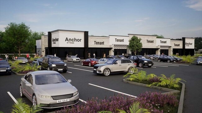
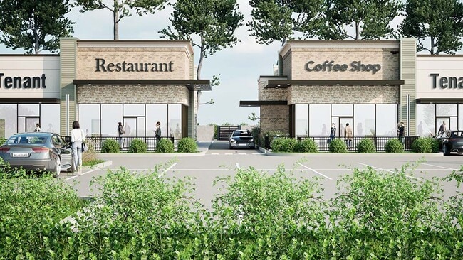
Property Record
Fm 359, Brookshire, TX 77423


Property Detail
Fm 359
Houston-Pasadena-The Woodlands, TX
0014 N BROOKSHIRE, ACRES 2.466, (1.916 ACRES IN A-14) (0.55 ACRES IN A-344)
0014-00-000-0080-901
FORT BEND
Commercialnec
Texas
B and X Area of moderate flood hazard, usually the area between the limits of the 100-year and 500-year floods.
2
2024
4.01 AC
2025
Far Katy South
680201
Houston
NEARBY LISTINGS FOR SALE OR LEASE
DEMOGRAPHICS near Fm 359
1 mile
3 mile
5 mile
2025 Total Population
3,338
21,925
84,269
2030 Population
4,055
26,430
98,097
Pop Growth 2025-2030
+ 21.48%
+ 20.55%
+ 16.41%
Average Age
36
38
36
2025 Total Households
1,096
7,266
25,946
HH Growth 2025-2030
+ 21.81%
+ 20.82%
+ 16.97%
Median Household Inc
$148,172
$153,201
$157,945
Avg Household Size
3.10
3.00
3.30
2025 Avg HH Vehicles
2.00
2.00
2.00
Median Home Value
$567,482
$602,025
$558,983
Median Year Built
2011
2011
2011
Nearby Places
Map Layers
Map Styles
 Street
 Aerial
Transit
 Traffic
 Biking
Places
Listings with unknown addresses are not visible on the map
- Restaurants
- Banks
- Shops
- Fitness
- Groceries
Nearby Properties
Address
Land Use
TOTAL SIZE
Lot Size
Zoning
Address
Land Use
TOTAL SIZE
Lot Size
Zoning
83.43 AC
Address
Land Use
TOTAL SIZE
Lot Size
Zoning
Address
Land Use
TOTAL SIZE
Lot Size
Zoning
734,030 SF
37.13 AC
Address
Land Use
TOTAL SIZE
Lot Size
Zoning
546,000 SF
29.67 AC
Address
Land Use
TOTAL SIZE
Lot Size
Zoning
4.73 AC
Z
Address
Land Use
TOTAL SIZE
Lot Size
Zoning
14.88 AC
Address
Land Use
TOTAL SIZE
Lot Size
Zoning
Address
Land Use
TOTAL SIZE
Lot Size
Zoning
Address
Land Use
TOTAL SIZE
Lot Size
Zoning
12.58 AC
Address
Land Use
TOTAL SIZE
Lot Size
Zoning
25,956 SF
16.56 AC
S
Address
Land Use
TOTAL SIZE
Lot Size
Zoning
58,037 SF
18.96 AC
QXS
Address
Land Use
TOTAL SIZE
Lot Size
Zoning
227,480 SF
14.27 AC
Address
Land Use
TOTAL SIZE
Lot Size
Zoning
5.10 AC
Address
Land Use
TOTAL SIZE
Lot Size
Zoning
14.98 AC
Address
Land Use
TOTAL SIZE
Lot Size
Zoning
30.29 AC
Address
Land Use
TOTAL SIZE
Lot Size
Zoning
9.26 AC
Address
Land Use
TOTAL SIZE
Lot Size
Zoning
296.94 AC
YQO
Address
Land Use
TOTAL SIZE
Lot Size
Zoning
26.67 AC
Address
Land Use
TOTAL SIZE
Lot Size
Zoning
254.79 AC
Address
Land Use
TOTAL SIZE
Lot Size
Zoning
70,350 SF
9.34 AC
Address
Land Use
TOTAL SIZE
Lot Size
Zoning
86.07 AC
S
Address
Land Use
TOTAL SIZE
Lot Size
Zoning
88,550 SF
7.53 AC
YNS
Address
Land Use
TOTAL SIZE
Lot Size
Zoning
75,336 SF
3.34 AC
Address
Land Use
TOTAL SIZE
Lot Size
Zoning
9.92 AC
QSY
Address
Land Use
TOTAL SIZE
Lot Size
Zoning
14.01 AC
TS
Address
Land Use
TOTAL SIZE
Lot Size
Zoning
Address
Land Use
TOTAL SIZE
Lot Size
Zoning
6.40 AC
Address
Land Use
TOTAL SIZE
Lot Size
Zoning
1,105 SF
196.73 AC
QTYS
Address
Land Use
TOTAL SIZE
Lot Size
Zoning
183.33 AC
SOQT
Address
Land Use
TOTAL SIZE
Lot Size
Zoning
2.49 AC
The World's #1 Commercial Real Estate Marketplace
Connect with us
© 2026 CoStar Group
The information above has been obtained from sources believed reliable. While we do not doubt its accuracy we have not verified it and make no guarantee, warranty or representation about it. It is your responsibility to independently confirm its accuracy and completeness. Any projections, opinions, assumptions, or estimates used are for example only and do not represent the current or future performance of the property. The value of this transaction to you depends on tax and other factors which should be evaluated by your tax, financial, and legal advisors. You and your advisors should conduct a careful, independent investigation of the property to determine to your satisfaction the suitability of the property for your needs.