Property Record
Fonda Rd, Waterford, NY 12188

NEARBY LISTINGS FOR SALE OR LEASE
-
-
View all Waterford listings for sale on LoopNet.com
Property Detail
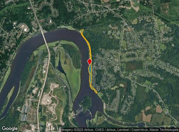
Fonda Rd
Albany/Schenectady/Troy
BARGE CANAL
Albany-Schenectady-Troy, NY
Saratoga
415489 285.-1-77
New York
Industrialacreage
77.000
0
11.39 AC
2024
Saratoga County
062700
DEMOGRAPHICS near Fonda Rd
1 Mile
3 Mile
5 Mile
2024 Total Population
2,965
34,028
95,271
2029 Population
3,036
33,957
94,581
Pop Growth 2024-2029
+ 2.39%
(0.21%)
(0.72%)
Average Age
43
43
42
2024 Total Households
1,252
15,092
41,346
HH Growth 2024-2029
+ 2.48%
(0.41%)
(0.94%)
Median Household Inc
$73,898
$77,698
$77,239
Avg Household Size
2.30
2.20
2.20
2024 Avg HH Vehicles
2.00
2.00
2.00
Median Home Value
$283,141
$243,304
$258,518
Median Year Built
1983
1974
1973
Nearby Places
Map Layers
Map Styles
 Street
 Aerial
- Restaurants
- Banks
- Shops
- Fitness
- Groceries
PUBLIC TRANSPORTATION
AIRPORT
Albany International
DRIVE
WALK
Distance
Albany International
18 min
10.3 mi
Freight Ports
Albany, NY Port
DRIVE
WALK
Distance
Albany, NY Port
28 min
15.6 mi
Nearby Properties
Address
Land Use
TOTAL SIZE
Lot Size
Zoning
Address
Land Use
TOTAL SIZE
Lot Size
Zoning
173.09 AC
Address
Land Use
TOTAL SIZE
Lot Size
Zoning
150,000 SF
45.60 AC
07 - MIXED
Address
Land Use
TOTAL SIZE
Lot Size
Zoning
39.06 AC
Address
Land Use
TOTAL SIZE
Lot Size
Zoning
501,506 SF
48 AC
01 - NOT Z
Address
Land Use
TOTAL SIZE
Lot Size
Zoning
193,144 SF
41.18 AC
Address
Land Use
TOTAL SIZE
Lot Size
Zoning
4,680 SF
26.74 AC
Address
Land Use
TOTAL SIZE
Lot Size
Zoning
1.30 AC
Address
Land Use
TOTAL SIZE
Lot Size
Zoning
Address
Land Use
TOTAL SIZE
Lot Size
Zoning
723,643 SF
27.56 AC
Address
Land Use
TOTAL SIZE
Lot Size
Zoning
12,234 SF
32 AC
05 - COMME
Address
Land Use
TOTAL SIZE
Lot Size
Zoning
12,294 SF
36.70 AC
03 - MULTI
Address
Land Use
TOTAL SIZE
Lot Size
Zoning
8,270 SF
16.74 AC
A1
Address
Land Use
TOTAL SIZE
Lot Size
Zoning
3,844 SF
3.18 AC
Address
Land Use
TOTAL SIZE
Lot Size
Zoning
195,069 SF
28.40 AC
07 - MIXED
Address
Land Use
TOTAL SIZE
Lot Size
Zoning
22,401 SF
9.69 AC
25
Address
Land Use
TOTAL SIZE
Lot Size
Zoning
23,402 SF
5.84 AC
25
Address
Land Use
TOTAL SIZE
Lot Size
Zoning
212,672 SF
3.90 AC
07 - MIXED
Address
Land Use
TOTAL SIZE
Lot Size
Zoning
100 SF
173.60 AC
04 - FARM
Address
Land Use
TOTAL SIZE
Lot Size
Zoning
86,904 SF
150.22 AC
Address
Land Use
TOTAL SIZE
Lot Size
Zoning
101,016 SF
2.30 AC
07 - MIXED
Address
Land Use
TOTAL SIZE
Lot Size
Zoning
528 SF
5.90 AC
02 - SINGL
Address
Land Use
TOTAL SIZE
Lot Size
Zoning
120,645 SF
17.43 AC
15
Address
Land Use
TOTAL SIZE
Lot Size
Zoning
34,234 SF
17.27 AC
07 - MIXED
Address
Land Use
TOTAL SIZE
Lot Size
Zoning
95,800 SF
23.50 AC
Address
Land Use
TOTAL SIZE
Lot Size
Zoning
42,606 SF
5.65 AC
A1
Address
Land Use
TOTAL SIZE
Lot Size
Zoning
14.90 AC
Address
Land Use
TOTAL SIZE
Lot Size
Zoning
140,106 SF
5.22 AC
07 - MIXED
Address
Land Use
TOTAL SIZE
Lot Size
Zoning
30,600 SF
258.51 AC
Address
Land Use
TOTAL SIZE
Lot Size
Zoning
1,680 SF
16.79 AC
05 - COMME
Address
Land Use
TOTAL SIZE
Lot Size
Zoning
97,992 SF
1.50 AC
03 - MULTI
The World's #1 Commercial Real Estate Marketplace
Connect with us
© 2025 CoStar Group
The information above has been obtained from sources believed reliable. While we do not doubt its accuracy we have not verified it and make no guarantee, warranty or representation about it. It is your responsibility to independently confirm its accuracy and completeness. Any projections, opinions, assumptions, or estimates used are for example only and do not represent the current or future performance of the property. The value of this transaction to you depends on tax and other factors which should be evaluated by your tax, financial, and legal advisors. You and your advisors should conduct a careful, independent investigation of the property to determine to your satisfaction the suitability of the property for your needs.