Property Record
Foothill Blvd, Rancho Cucamonga, CA 91730

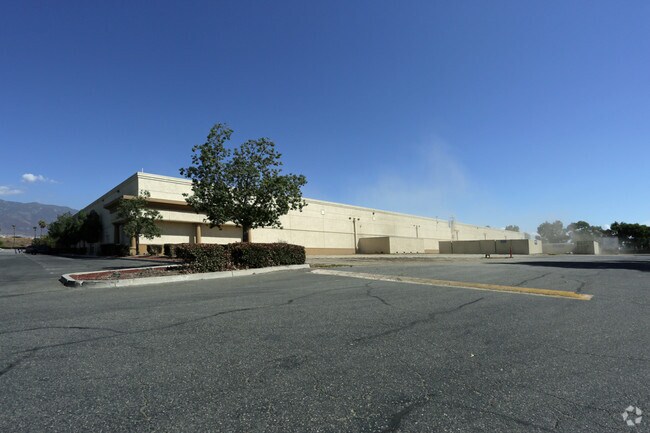

Property Detail
Foothill Blvd
Riverside-San Bernardino-Ontario, CA
PARCEL MAP 13724 PTN PARCEL NO 12 LYING WITHIN N 1/2 NW 1/4 NE 1/4 SEC 8 TP 1S R 6W
0229-031-44
SAN BERNARDINO
Parkinglot
California
B and X Area of moderate flood hazard, usually the area between the limits of the 100-year and 500-year floods.
3.58 AC
2025
Airport Area
2025
Inland Empire (California)
002107
NEARBY LISTINGS FOR SALE OR LEASE
DEMOGRAPHICS near Foothill Blvd
1 mile
3 mile
5 mile
2025 Total Population
10,409
102,148
284,959
2030 Population
10,576
103,059
287,397
Pop Growth 2025-2030
+ 1.60%
+ 0.89%
+ 0.86%
Average Age
35
37
37
2025 Total Households
3,573
32,404
86,262
HH Growth 2025-2030
+ 1.51%
+ 1.03%
+ 0.88%
Median Household Inc
$115,258
$115,027
$108,235
Avg Household Size
2.90
3.00
3.20
2025 Avg HH Vehicles
2.00
2.00
2.00
Median Home Value
$713,095
$737,639
$703,745
Median Year Built
2004
1994
1989
Nearby Places
Map Layers
Map Styles
 Street
 Aerial
Transit
 Traffic
 Biking
Places
Listings with unknown addresses are not visible on the map
- Restaurants
- Banks
- Shops
- Fitness
- Groceries
PUBLIC TRANSPORTATION
COMMUTER RAIL
Rancho Cucamonga (San Bernardino Line - Southern California Regional Rail Authority (Metrolink))
Drive
Walk
Distance
Rancho Cucamonga (San Bernardino Line - Southern California Regional Rail Authority (Metrolink))
7 min
3.3 mi
East Ontario (Riverside Line - Southern California Regional Rail Authority (Metrolink))
Drive
Walk
Distance
East Ontario (Riverside Line - Southern California Regional Rail Authority (Metrolink))
13 min
7.3 mi
AIRPORT
Ontario International
Drive
Walk
Distance
Ontario International
12 min
7.4 mi
Freight Ports
Port of Long Beach
Drive
Walk
Distance
Port of Long Beach
75 min
59.7 mi
Nearby Properties
Address
Land Use
TOTAL SIZE
Lot Size
Zoning
Address
Land Use
TOTAL SIZE
Lot Size
Zoning
1,459,702 SF
96.41 AC
Address
Land Use
TOTAL SIZE
Lot Size
Zoning
1,422,524 SF
44.96 AC
Address
Land Use
TOTAL SIZE
Lot Size
Zoning
362.37 AC
Address
Land Use
TOTAL SIZE
Lot Size
Zoning
425.43 AC
SDCOM
Address
Land Use
TOTAL SIZE
Lot Size
Zoning
707,551 SF
20.36 AC
Address
Land Use
TOTAL SIZE
Lot Size
Zoning
502,314 SF
40.06 AC
Address
Land Use
TOTAL SIZE
Lot Size
Zoning
912 SF
370.60 AC
IR
Address
Land Use
TOTAL SIZE
Lot Size
Zoning
752,497 SF
24.89 AC
Address
Land Use
TOTAL SIZE
Lot Size
Zoning
1,385,866 SF
69.84 AC
Address
Land Use
TOTAL SIZE
Lot Size
Zoning
1,286,569 SF
53.96 AC
Address
Land Use
TOTAL SIZE
Lot Size
Zoning
275,783 SF
11.82 AC
Address
Land Use
TOTAL SIZE
Lot Size
Zoning
261,114 SF
11.23 AC
Address
Land Use
TOTAL SIZE
Lot Size
Zoning
293,860 SF
16.10 AC
Address
Land Use
TOTAL SIZE
Lot Size
Zoning
145,111 SF
48.01 AC
Address
Land Use
TOTAL SIZE
Lot Size
Zoning
249,658 SF
20.03 AC
Address
Land Use
TOTAL SIZE
Lot Size
Zoning
500,403 SF
24.69 AC
Address
Land Use
TOTAL SIZE
Lot Size
Zoning
453,960 SF
18.54 AC
Address
Land Use
TOTAL SIZE
Lot Size
Zoning
104,537 SF
30.72 AC
Address
Land Use
TOTAL SIZE
Lot Size
Zoning
611,573 SF
26.64 AC
Address
Land Use
TOTAL SIZE
Lot Size
Zoning
87,909 SF
30.12 AC
Address
Land Use
TOTAL SIZE
Lot Size
Zoning
286,732 SF
9.58 AC
Address
Land Use
TOTAL SIZE
Lot Size
Zoning
261,357 SF
10.03 AC
Address
Land Use
TOTAL SIZE
Lot Size
Zoning
55.52 AC
Address
Land Use
TOTAL SIZE
Lot Size
Zoning
314,580 SF
24 AC
Address
Land Use
TOTAL SIZE
Lot Size
Zoning
76.50 AC
Address
Land Use
TOTAL SIZE
Lot Size
Zoning
190,724 SF
10.69 AC
Address
Land Use
TOTAL SIZE
Lot Size
Zoning
849,900 SF
39.25 AC
KCSP
Address
Land Use
TOTAL SIZE
Lot Size
Zoning
1,034,356 SF
47.48 AC
Address
Land Use
TOTAL SIZE
Lot Size
Zoning
278,453 SF
4.73 AC
Address
Land Use
TOTAL SIZE
Lot Size
Zoning
118,984 SF
16.07 AC
IR
The World's #1 Commercial Real Estate Marketplace
Connect with us
© 2026 CoStar Group
The information above has been obtained from sources believed reliable. While we do not doubt its accuracy we have not verified it and make no guarantee, warranty or representation about it. It is your responsibility to independently confirm its accuracy and completeness. Any projections, opinions, assumptions, or estimates used are for example only and do not represent the current or future performance of the property. The value of this transaction to you depends on tax and other factors which should be evaluated by your tax, financial, and legal advisors. You and your advisors should conduct a careful, independent investigation of the property to determine to your satisfaction the suitability of the property for your needs.