Property Record
Forest Creek Cir, Greer, SC 29651
Property Detail
Forest Creek Cir
Spartanburg, SC
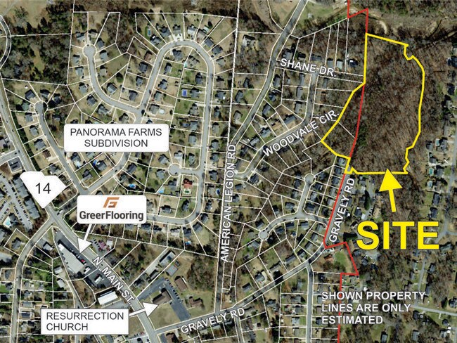
N OF FOREST CREEK CIR & W OF PINEWOOD DR PB 13 PB 149-247
9-03-01-020.00
SPARTANBURG
Residentialacreage
South Carolina
AE The base floodplain where base flood elevations are provided. AE Zones are now used on new format FIRMs instead of A1-A30 Zones.
7.93 AC
2024
Upper Spartanburg County
2025
Greenville/Spartanburg
002505
NEARBY LISTINGS FOR SALE OR LEASE
DEMOGRAPHICS near Forest Creek Cir
1 mile
3 mile
5 mile
2025 Total Population
5,396
36,204
80,172
2030 Population
5,932
39,713
87,870
Pop Growth 2025-2030
+ 9.93%
+ 9.69%
+ 9.60%
Average Age
40
40
40
2025 Total Households
2,259
14,577
31,225
HH Growth 2025-2030
+ 10.00%
+ 9.78%
+ 9.70%
Median Household Inc
$65,157
$63,388
$74,364
Avg Household Size
2.40
2.40
2.50
2025 Avg HH Vehicles
2.00
2.00
2.00
Median Home Value
$243,939
$250,324
$278,049
Median Year Built
1991
1991
1997
Nearby Places
Map Layers
Map Styles
 Street
 Aerial
Transit
 Traffic
 Biking
Places
Listings with unknown addresses are not visible on the map
- Restaurants
- Banks
- Shops
- Fitness
- Groceries
PUBLIC TRANSPORTATION
AIRPORT
Greenville Spartanburg International
Drive
Walk
Distance
Greenville Spartanburg International
17 min
6.7 mi
Freight Ports
North Charleston Terminal
Drive
Walk
Distance
North Charleston Terminal
238 min
206.8 mi
SALE & LEASE HISTORY
LISTING DATE
SALE/LEASE

Sep 24, 2016
For Sale
Jan 25, 2018
For Sale
Nearby Properties
Address
Land Use
TOTAL SIZE
Lot Size
Zoning
Address
Land Use
TOTAL SIZE
Lot Size
Zoning
227,627 SF
21.37 AC
Address
Land Use
TOTAL SIZE
Lot Size
Zoning
14.20 AC
UNZONED
Address
Land Use
TOTAL SIZE
Lot Size
Zoning
532 SF
72.61 AC
I1
Address
Land Use
TOTAL SIZE
Lot Size
Zoning
13.25 AC
I1
Address
Land Use
TOTAL SIZE
Lot Size
Zoning
5.07 AC
C2
Address
Land Use
TOTAL SIZE
Lot Size
Zoning
8.30 AC
RM
Address
Land Use
TOTAL SIZE
Lot Size
Zoning
0.42 AC
OD
Address
Land Use
TOTAL SIZE
Lot Size
Zoning
14.33 AC
I1
Address
Land Use
TOTAL SIZE
Lot Size
Zoning
48.84 AC
C2
Address
Land Use
TOTAL SIZE
Lot Size
Zoning
8.22 AC
I1
Address
Land Use
TOTAL SIZE
Lot Size
Zoning
1.05 AC
S1
Address
Land Use
TOTAL SIZE
Lot Size
Zoning
6.81 AC
RM
Address
Land Use
TOTAL SIZE
Lot Size
Zoning
10.20 AC
S1
Address
Land Use
TOTAL SIZE
Lot Size
Zoning
12.91 AC
RM
Address
Land Use
TOTAL SIZE
Lot Size
Zoning
11.70 AC
C2
Address
Land Use
TOTAL SIZE
Lot Size
Zoning
2.15 AC
C2
Address
Land Use
TOTAL SIZE
Lot Size
Zoning
0.51 AC
C1
Address
Land Use
TOTAL SIZE
Lot Size
Zoning
1.15 AC
C1
Address
Land Use
TOTAL SIZE
Lot Size
Zoning
4.07 AC
OD
Address
Land Use
TOTAL SIZE
Lot Size
Zoning
6.90 AC
I1
Address
Land Use
TOTAL SIZE
Lot Size
Zoning
710,705 SF
34.03 AC
Address
Land Use
TOTAL SIZE
Lot Size
Zoning
91,927 SF
21.14 AC
Address
Land Use
TOTAL SIZE
Lot Size
Zoning
16,592 SF
15.43 AC
Address
Land Use
TOTAL SIZE
Lot Size
Zoning
34.30 AC
UNZONED
Address
Land Use
TOTAL SIZE
Lot Size
Zoning
3.41 AC
C2
Address
Land Use
TOTAL SIZE
Lot Size
Zoning
5.73 AC
C1
Address
Land Use
TOTAL SIZE
Lot Size
Zoning
10.20 AC
PDI
Address
Land Use
TOTAL SIZE
Lot Size
Zoning
42.27 AC
Address
Land Use
TOTAL SIZE
Lot Size
Zoning
5.47 AC
RM1
Address
Land Use
TOTAL SIZE
Lot Size
Zoning
70.66 AC
RS
The World's #1 Commercial Real Estate Marketplace
Connect with us
© 2026 CoStar Group
The information above has been obtained from sources believed reliable. While we do not doubt its accuracy we have not verified it and make no guarantee, warranty or representation about it. It is your responsibility to independently confirm its accuracy and completeness. Any projections, opinions, assumptions, or estimates used are for example only and do not represent the current or future performance of the property. The value of this transaction to you depends on tax and other factors which should be evaluated by your tax, financial, and legal advisors. You and your advisors should conduct a careful, independent investigation of the property to determine to your satisfaction the suitability of the property for your needs.