Property Record
Greenbriar Rd, Saint Johns, FL 32259


Save to a Folder
{{folder.Name}}
{{folder.ListingIds.length}} Properties
{{folder.ListingIds.length}} Property
Create a New Folder
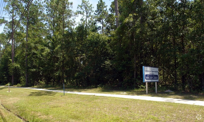
Property Detail
Greenbriar Rd
Jacksonville, FL
(38-1)PT OF FATIO GRANT -BEING PT OF VACATED ST ELMO TRACT LYING S OF GREENBRIAR RD & W OF GREENBRIAR SECTION ONE (EX ADDL R/W TO SJC IN OR2873/73) (EX PT IN OR4901/629 TD336) OR3863/1614 & 1633(Q/C)
001170-0010
ST. JOHNS
Timberlandforesttreesagricultural
Florida
DRI
38-1
B and X Area of moderate flood hazard, usually the area between the limits of the 100-year and 500-year floods.
10.63 AC
2025
St Johns County
2026
Jacksonville (Florida)
020809
NEARBY LISTINGS FOR SALE OR LEASE
DEMOGRAPHICS near Greenbriar Rd
1 mile
3 mile
5 mile
2025 Total Population
2,852
18,837
66,831
2030 Population
3,373
22,045
75,282
Pop Growth 2025-2030
+ 18.27%
+ 17.03%
+ 12.65%
Average Age
40
41
41
2025 Total Households
935
6,205
22,979
HH Growth 2025-2030
+ 18.50%
+ 17.20%
+ 12.54%
Median Household Inc
$148,957
$145,398
$127,397
Avg Household Size
3.00
3.00
2.80
2025 Avg HH Vehicles
2.00
2.00
2.00
Median Home Value
$674,147
$627,331
$491,463
Median Year Built
2010
2010
2004
Nearby Places
Map Layers
Map Styles
 Street
 Aerial
Layers
 Traffic
 Biking
Places
Listings with unknown addresses are not visible on the map
- Restaurants
- Banks
- Shops
- Fitness
- Groceries
PUBLIC TRANSPORTATION
AIRPORT
Jacksonville International
Drive
Walk
Distance
Jacksonville International
61 min
42.5 mi
Freight Ports
Jacksonville Port
Drive
Walk
Distance
Jacksonville Port
46 min
25.5 mi
Nearby Properties
Address
Land Use
TOTAL SIZE
Lot Size
Zoning
Address
Land Use
TOTAL SIZE
Lot Size
Zoning
388,481 SF
18.61 AC
Address
Land Use
TOTAL SIZE
Lot Size
Zoning
276,285 SF
121.14 AC
OR
Address
Land Use
TOTAL SIZE
Lot Size
Zoning
236,469 SF
40 AC
OR
Address
Land Use
TOTAL SIZE
Lot Size
Zoning
70,108 SF
32.90 AC
Address
Land Use
TOTAL SIZE
Lot Size
Zoning
357.21 AC
PUD
Address
Land Use
TOTAL SIZE
Lot Size
Zoning
65,155 SF
58.66 AC
OR
Address
Land Use
TOTAL SIZE
Lot Size
Zoning
94,789 SF
30 AC
OR
Address
Land Use
TOTAL SIZE
Lot Size
Zoning
44,439 SF
31.10 AC
OR
Address
Land Use
TOTAL SIZE
Lot Size
Zoning
Address
Land Use
TOTAL SIZE
Lot Size
Zoning
471.10 AC
Address
Land Use
TOTAL SIZE
Lot Size
Zoning
51,113 SF
7.20 AC
OR
Address
Land Use
TOTAL SIZE
Lot Size
Zoning
75,805 SF
36.69 AC
PUD
Address
Land Use
TOTAL SIZE
Lot Size
Zoning
14,271 SF
14.17 AC
RS2
Address
Land Use
TOTAL SIZE
Lot Size
Zoning
31.59 AC
Address
Land Use
TOTAL SIZE
Lot Size
Zoning
44.72 AC
PUD
Address
Land Use
TOTAL SIZE
Lot Size
Zoning
9,210 SF
3.26 AC
Address
Land Use
TOTAL SIZE
Lot Size
Zoning
36,762 SF
18.76 AC
OR
Address
Land Use
TOTAL SIZE
Lot Size
Zoning
2,452 SF
47.22 AC
OR
Address
Land Use
TOTAL SIZE
Lot Size
Zoning
35.07 AC
Address
Land Use
TOTAL SIZE
Lot Size
Zoning
4,790 SF
1.53 AC
Address
Land Use
TOTAL SIZE
Lot Size
Zoning
32,403 SF
14.82 AC
OR
Address
Land Use
TOTAL SIZE
Lot Size
Zoning
3,544 SF
54 AC
OR
Address
Land Use
TOTAL SIZE
Lot Size
Zoning
12,098 SF
1.73 AC
Address
Land Use
TOTAL SIZE
Lot Size
Zoning
1,279 SF
0.85 AC
Address
Land Use
TOTAL SIZE
Lot Size
Zoning
2,255 SF
1.22 AC
Address
Land Use
TOTAL SIZE
Lot Size
Zoning
12,118 SF
9.76 AC
RS2
Address
Land Use
TOTAL SIZE
Lot Size
Zoning
9,756 SF
3.25 AC
RS2
Address
Land Use
TOTAL SIZE
Lot Size
Zoning
16,711 SF
8.32 AC
PS-1
Address
Land Use
TOTAL SIZE
Lot Size
Zoning
5,040 SF
0.96 AC
Address
Land Use
TOTAL SIZE
Lot Size
Zoning
7,866 SF
0.83 AC
The World's #1 Commercial Real Estate Marketplace
Connect with us
© 2026 CoStar Group
The information above has been obtained from sources believed reliable. While we do not doubt its accuracy we have not verified it and make no guarantee, warranty or representation about it. It is your responsibility to independently confirm its accuracy and completeness. Any projections, opinions, assumptions, or estimates used are for example only and do not represent the current or future performance of the property. The value of this transaction to you depends on tax and other factors which should be evaluated by your tax, financial, and legal advisors. You and your advisors should conduct a careful, independent investigation of the property to determine to your satisfaction the suitability of the property for your needs.