Property Record
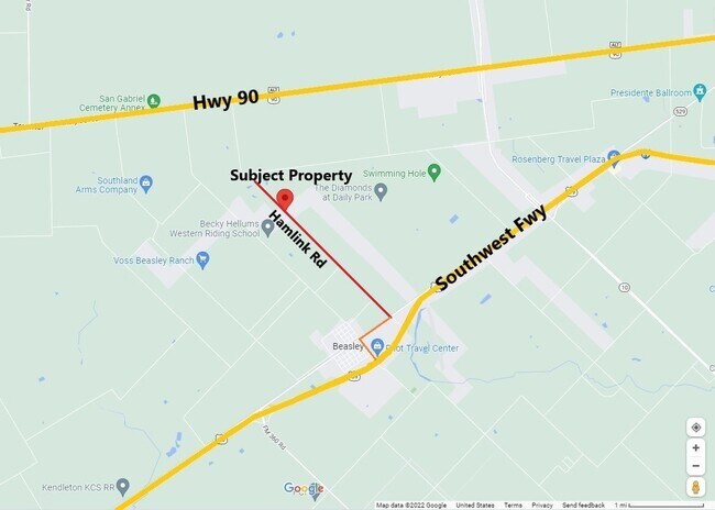
Hamlink Rd, Rosenberg, TX 77471

Property Detail
Hamlink Rd
Houston-Pasadena-The Woodlands, TX
0328 S A & M G, ACRES 21.1974, BLOCK 34 (PT), SLAVIN & GEORGE, IN CITY OF ROSENBERG
0328-00-034-0003-901
FORT BEND
Commercialnec
Texas
B and X Area of moderate flood hazard, usually the area between the limits of the 100-year and 500-year floods.
3.80 AC
2024
Southwest Outlier
2025
Houston
675300
NEARBY LISTINGS FOR SALE OR LEASE
DEMOGRAPHICS near Hamlink Rd
1 mile
3 mile
5 mile
2025 Total Population
137
2,847
5,485
2030 Population
159
3,290
6,326
Pop Growth 2025-2030
+ 16.06%
+ 15.56%
+ 15.33%
Average Age
37
38
39
2025 Total Households
43
925
1,814
HH Growth 2025-2030
+ 16.28%
+ 16.00%
+ 15.71%
Median Household Inc
$68,749
$62,065
$64,804
Avg Household Size
3.20
3.10
3.00
2025 Avg HH Vehicles
2.00
2.00
2.00
Median Home Value
$283,333
$408,784
$430,714
Median Year Built
1987
1987
1988
Nearby Places
Map Layers
Map Styles
 Street
 Aerial
Transit
 Traffic
 Biking
Places
Listings with unknown addresses are not visible on the map
- Restaurants
- Banks
- Shops
- Fitness
- Groceries
SALE & LEASE HISTORY
LISTING DATE
SALE/LEASE

Jan 20, 2022
For Sale
Nearby Properties
Address
Land Use
TOTAL SIZE
Lot Size
Zoning
Address
Land Use
TOTAL SIZE
Lot Size
Zoning
100,000 SF
1.32 AC
Address
Land Use
TOTAL SIZE
Lot Size
Zoning
2,064 SF
93.87 AC
QO
Address
Land Use
TOTAL SIZE
Lot Size
Zoning
75.19 AC
Address
Land Use
TOTAL SIZE
Lot Size
Zoning
159.79 AC
OTYM
Address
Land Use
TOTAL SIZE
Lot Size
Zoning
21.35 AC
S
Address
Land Use
TOTAL SIZE
Lot Size
Zoning
Address
Land Use
TOTAL SIZE
Lot Size
Zoning
33,106 SF
6 AC
J
Address
Land Use
TOTAL SIZE
Lot Size
Zoning
13,200 SF
2.20 AC
S
Address
Land Use
TOTAL SIZE
Lot Size
Zoning
13,920 SF
3 AC
SM
Address
Land Use
TOTAL SIZE
Lot Size
Zoning
8,135 SF
0.75 AC
Address
Land Use
TOTAL SIZE
Lot Size
Zoning
47,860 SF
4 AC
YS
Address
Land Use
TOTAL SIZE
Lot Size
Zoning
72.55 AC
Address
Land Use
TOTAL SIZE
Lot Size
Zoning
41,500 SF
5 AC
Address
Land Use
TOTAL SIZE
Lot Size
Zoning
800 SF
89.75 AC
OTS
Address
Land Use
TOTAL SIZE
Lot Size
Zoning
6,891 SF
4.01 AC
XY
Address
Land Use
TOTAL SIZE
Lot Size
Zoning
11,820 SF
2.57 AC
MY
Address
Land Use
TOTAL SIZE
Lot Size
Zoning
85.37 AC
Y
Address
Land Use
TOTAL SIZE
Lot Size
Zoning
21,190 SF
10 AC
ST
Address
Land Use
TOTAL SIZE
Lot Size
Zoning
2,910 SF
1 AC
Address
Land Use
TOTAL SIZE
Lot Size
Zoning
58.43 AC
SYO
Address
Land Use
TOTAL SIZE
Lot Size
Zoning
784 SF
1.67 AC
X
Address
Land Use
TOTAL SIZE
Lot Size
Zoning
68.80 AC
Address
Land Use
TOTAL SIZE
Lot Size
Zoning
65.97 AC
QY
Address
Land Use
TOTAL SIZE
Lot Size
Zoning
83.29 AC
YS
Address
Land Use
TOTAL SIZE
Lot Size
Zoning
Address
Land Use
TOTAL SIZE
Lot Size
Zoning
99.90 AC
Address
Land Use
TOTAL SIZE
Lot Size
Zoning
57,600 SF
2.65 AC
Address
Land Use
TOTAL SIZE
Lot Size
Zoning
9.85 AC
S
Address
Land Use
TOTAL SIZE
Lot Size
Zoning
10.35 AC
Address
Land Use
TOTAL SIZE
Lot Size
Zoning
16.35 AC
The World's #1 Commercial Real Estate Marketplace
Connect with us
© 2026 CoStar Group
The information above has been obtained from sources believed reliable. While we do not doubt its accuracy we have not verified it and make no guarantee, warranty or representation about it. It is your responsibility to independently confirm its accuracy and completeness. Any projections, opinions, assumptions, or estimates used are for example only and do not represent the current or future performance of the property. The value of this transaction to you depends on tax and other factors which should be evaluated by your tax, financial, and legal advisors. You and your advisors should conduct a careful, independent investigation of the property to determine to your satisfaction the suitability of the property for your needs.