Property Record
Harford Rd, , MD

NEARBY LISTINGS FOR SALE OR LEASE
Property Detail
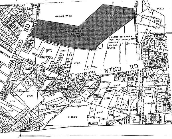
Harford Rd
Baltimore-Columbia-Towson, MD
N Of Cub Hill
11-1113020876
67 AC N OF CUB HILL
Taxexempt
Baltimore
A
Maryland
2400100270G
67 AC
2024
Baltimore County East
2025
Baltimore
411201
DEMOGRAPHICS near Harford Rd
1 Mile
3 Mile
5 Mile
2024 Total Population
7,764
81,798
200,115
2029 Population
7,628
80,503
196,544
Pop Growth 2024-2029
(1.75%)
(1.58%)
(1.78%)
Average Age
42
42
41
2024 Total Households
3,045
32,745
80,982
HH Growth 2024-2029
(1.84%)
(1.69%)
(1.85%)
Median Household Inc
$96,916
$83,542
$80,163
Avg Household Size
2.50
2.40
2.40
2024 Avg HH Vehicles
2.00
2.00
2.00
Median Home Value
$322,999
$294,352
$282,021
Median Year Built
1977
1976
1971
Nearby Places
Map Layers
Map Styles
 Street
 Aerial
- Restaurants
- Banks
- Shops
- Fitness
- Groceries
PUBLIC TRANSPORTATION
COMMUTER RAIL
Martin State Airport (PENN - WASHINGTON - Maryland Area Regional Commuter Trains (The MARC), Penn Line - Maryland Area Regional Commuter Trains (The MARC))
DRIVE
WALK
Distance
Martin State Airport (PENN - WASHINGTON - Maryland Area Regional Commuter Trains (The MARC), Penn Line - Maryland Area Regional Commuter Trains (The MARC))
21 min
9.6 mi
AIRPORT
Baltimore/Washington International Thurgood Marshall
DRIVE
WALK
Distance
Baltimore/Washington International Thurgood Marshall
41 min
24.6 mi
Freight Ports
Port of Baltimore
DRIVE
WALK
Distance
Port of Baltimore
28 min
15.9 mi
Nearby Properties
Address
Land Use
TOTAL SIZE
Lot Size
Zoning
Address
Land Use
TOTAL SIZE
Lot Size
Zoning
1,704,075 SF
76.16 AC
Address
Land Use
TOTAL SIZE
Lot Size
Zoning
31.22 AC
DR16
Address
Land Use
TOTAL SIZE
Lot Size
Zoning
16.08 AC
DR16
Address
Land Use
TOTAL SIZE
Lot Size
Zoning
19.93 AC
Address
Land Use
TOTAL SIZE
Lot Size
Zoning
67,938 SF
31.72 AC
BL
Address
Land Use
TOTAL SIZE
Lot Size
Zoning
15.82 AC
BLCCC
Address
Land Use
TOTAL SIZE
Lot Size
Zoning
214,738 SF
5.92 AC
Address
Land Use
TOTAL SIZE
Lot Size
Zoning
190,826 SF
9.89 AC
Address
Land Use
TOTAL SIZE
Lot Size
Zoning
12.20 AC
DR16
Address
Land Use
TOTAL SIZE
Lot Size
Zoning
239,798 SF
11.90 AC
Address
Land Use
TOTAL SIZE
Lot Size
Zoning
222,711 SF
39.21 AC
DR55
Address
Land Use
TOTAL SIZE
Lot Size
Zoning
240,982 SF
65.49 AC
Address
Land Use
TOTAL SIZE
Lot Size
Zoning
9.54 AC
DR16
Address
Land Use
TOTAL SIZE
Lot Size
Zoning
7.72 AC
DR5.5
Address
Land Use
TOTAL SIZE
Lot Size
Zoning
64,480 SF
20.43 AC
Address
Land Use
TOTAL SIZE
Lot Size
Zoning
10.51 AC
DR16
Address
Land Use
TOTAL SIZE
Lot Size
Zoning
7.38 AC
DR16
Address
Land Use
TOTAL SIZE
Lot Size
Zoning
7.85 AC
DR5.5
Address
Land Use
TOTAL SIZE
Lot Size
Zoning
11.25 AC
DR16
Address
Land Use
TOTAL SIZE
Lot Size
Zoning
11.57 AC
DR16
Address
Land Use
TOTAL SIZE
Lot Size
Zoning
13.85 AC
DR5.5
Address
Land Use
TOTAL SIZE
Lot Size
Zoning
10.12 AC
DR16
Address
Land Use
TOTAL SIZE
Lot Size
Zoning
168,951 SF
18.36 AC
BR
Address
Land Use
TOTAL SIZE
Lot Size
Zoning
13,708 SF
15.67 AC
BLCCC
Address
Land Use
TOTAL SIZE
Lot Size
Zoning
10,605 SF
12.96 AC
BL
Address
Land Use
TOTAL SIZE
Lot Size
Zoning
11.89 AC
DR16
Address
Land Use
TOTAL SIZE
Lot Size
Zoning
7.83 AC
DR16
Address
Land Use
TOTAL SIZE
Lot Size
Zoning
11.35 AC
DR16
Address
Land Use
TOTAL SIZE
Lot Size
Zoning
219.28 AC
Address
Land Use
TOTAL SIZE
Lot Size
Zoning
10.88 AC
DR16
The World's #1 Commercial Real Estate Marketplace
Connect with us
© 2026 CoStar Group
The information above has been obtained from sources believed reliable. While we do not doubt its accuracy we have not verified it and make no guarantee, warranty or representation about it. It is your responsibility to independently confirm its accuracy and completeness. Any projections, opinions, assumptions, or estimates used are for example only and do not represent the current or future performance of the property. The value of this transaction to you depends on tax and other factors which should be evaluated by your tax, financial, and legal advisors. You and your advisors should conduct a careful, independent investigation of the property to determine to your satisfaction the suitability of the property for your needs.