Property Record
Harvest Dr, Opelika, AL 36801
NEARBY LISTINGS FOR SALE OR LEASE
Property Detail
Harvest Dr
Auburn-Opelika, AL
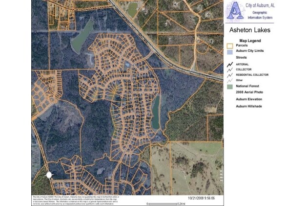
Asheton Lakes
09-03-05-0-000-004.001
PART SEC 8 T19N R26E: BEG INT N LINE & SW ROW US HWU 280; SE 1355'S ON ROW TO C/L SOUGAHATCHEE CREEK; SW 3150'S ON CREEK C/L;
Vacantlandnec
Lee
AE
Alabama
01081C0062H
2.97 AC
2025
Lee County
2025
Columbus GA
040901
DEMOGRAPHICS near Harvest Dr
1 mile
3 mile
5 mile
2024 Total Population
1,917
26,158
69,632
2029 Population
2,132
28,526
75,793
Pop Growth 2024-2029
+ 11.22%
+ 9.05%
+ 8.85%
Average Age
37
35
35
2024 Total Households
650
10,540
27,710
HH Growth 2024-2029
+ 11.23%
+ 8.82%
+ 9.07%
Median Household Inc
$126,025
$57,564
$50,101
Avg Household Size
2.90
2.40
2.30
2024 Avg HH Vehicles
2.00
2.00
2.00
Median Home Value
$371,080
$276,166
$272,507
Median Year Built
2010
2002
1996
Nearby Places
Map Layers
Map Styles
 Street
 Aerial
Transit
 Traffic
 Biking
Places
Listings with unknown addresses are not visible on the map
- Restaurants
- Banks
- Shops
- Fitness
- Groceries
Nearby Properties
Address
Land Use
TOTAL SIZE
Lot Size
Zoning
Address
Land Use
TOTAL SIZE
Lot Size
Zoning
15,876 SF
30.47 AC
Address
Land Use
TOTAL SIZE
Lot Size
Zoning
18,540 SF
12.99 AC
Address
Land Use
TOTAL SIZE
Lot Size
Zoning
11,076 SF
15.79 AC
Address
Land Use
TOTAL SIZE
Lot Size
Zoning
484 SF
21.50 AC
Address
Land Use
TOTAL SIZE
Lot Size
Zoning
174,021 SF
29 AC
Address
Land Use
TOTAL SIZE
Lot Size
Zoning
1,471 SF
12.86 AC
Address
Land Use
TOTAL SIZE
Lot Size
Zoning
7,716 SF
26.36 AC
Address
Land Use
TOTAL SIZE
Lot Size
Zoning
35,070 SF
5 AC
Address
Land Use
TOTAL SIZE
Lot Size
Zoning
Address
Land Use
TOTAL SIZE
Lot Size
Zoning
2,247 SF
18 AC
Address
Land Use
TOTAL SIZE
Lot Size
Zoning
45,600 SF
8.50 AC
Address
Land Use
TOTAL SIZE
Lot Size
Zoning
18,384 SF
12 AC
Address
Land Use
TOTAL SIZE
Lot Size
Zoning
32,572 SF
11.84 AC
Address
Land Use
TOTAL SIZE
Lot Size
Zoning
Address
Land Use
TOTAL SIZE
Lot Size
Zoning
22,400 SF
7.67 AC
Address
Land Use
TOTAL SIZE
Lot Size
Zoning
7,248 SF
11.95 AC
Address
Land Use
TOTAL SIZE
Lot Size
Zoning
72,359 SF
7.61 AC
Address
Land Use
TOTAL SIZE
Lot Size
Zoning
26,742 SF
9.20 AC
Address
Land Use
TOTAL SIZE
Lot Size
Zoning
19,056 SF
10 AC
Address
Land Use
TOTAL SIZE
Lot Size
Zoning
40,821 SF
11.40 AC
Address
Land Use
TOTAL SIZE
Lot Size
Zoning
12.77 AC
Address
Land Use
TOTAL SIZE
Lot Size
Zoning
6,520 SF
0.76 AC
Address
Land Use
TOTAL SIZE
Lot Size
Zoning
124,506 SF
4.90 AC
Address
Land Use
TOTAL SIZE
Lot Size
Zoning
22,016 SF
2.10 AC
Address
Land Use
TOTAL SIZE
Lot Size
Zoning
5,600 SF
18.30 AC
Address
Land Use
TOTAL SIZE
Lot Size
Zoning
23,492 SF
11.50 AC
Address
Land Use
TOTAL SIZE
Lot Size
Zoning
10,551 SF
3.23 AC
Address
Land Use
TOTAL SIZE
Lot Size
Zoning
58,040 SF
4.22 AC
Address
Land Use
TOTAL SIZE
Lot Size
Zoning
Address
Land Use
TOTAL SIZE
Lot Size
Zoning
568 AC
The World's #1 Commercial Real Estate Marketplace
Connect with us
© 2026 CoStar Group
The information above has been obtained from sources believed reliable. While we do not doubt its accuracy we have not verified it and make no guarantee, warranty or representation about it. It is your responsibility to independently confirm its accuracy and completeness. Any projections, opinions, assumptions, or estimates used are for example only and do not represent the current or future performance of the property. The value of this transaction to you depends on tax and other factors which should be evaluated by your tax, financial, and legal advisors. You and your advisors should conduct a careful, independent investigation of the property to determine to your satisfaction the suitability of the property for your needs.