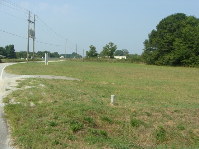
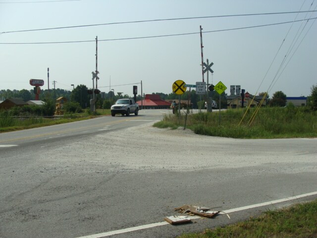
Property Record
Highway 17, , GA


Save to a Folder
{{folder.Name}}
{{folder.ListingIds.length}} Properties
{{folder.ListingIds.length}} Property
Create a New Folder
Property Detail
Highway 17
062-138
1.0 AC HWY 17
Commercialacreage
FRANKLIN
UNZONED RU
Georgia
B and X Area of moderate flood hazard, usually the area between the limits of the 100-year and 500-year floods.
1 AC
2025
Georgia Northeast
2025
Other Market Areas
890104
NEARBY LISTINGS FOR SALE OR LEASE
DEMOGRAPHICS near Highway 17
1 mile
3 mile
5 mile
2025 Total Population
319
4,569
10,416
2030 Population
338
4,860
11,203
Pop Growth 2025-2030
+ 5.96%
+ 6.37%
+ 7.56%
Average Age
40
40
42
2025 Total Households
118
1,761
4,131
HH Growth 2025-2030
+ 5.93%
+ 6.30%
+ 7.60%
Median Household Inc
$53,571
$44,073
$58,150
Avg Household Size
2.60
2.50
2.50
2025 Avg HH Vehicles
2.00
2.00
2.00
Median Home Value
$173,333
$177,636
$188,906
Median Year Built
1993
1989
1991
Nearby Places
Map Layers
Map Styles
 Street
 Aerial
Layers
 Traffic
 Biking
Places
Listings with unknown addresses are not visible on the map
- Restaurants
- Banks
- Shops
- Fitness
- Groceries
SALE & LEASE HISTORY
LISTING DATE
SALE/LEASE

Dec 06, 2017
For Sale
Apr 10, 2017
For Sale
Nearby Properties
Address
Land Use
TOTAL SIZE
Lot Size
Zoning
Address
Land Use
TOTAL SIZE
Lot Size
Zoning
69,598 SF
39.21 AC
Address
Land Use
TOTAL SIZE
Lot Size
Zoning
3,987 SF
19.93 AC
UNZONED RU
Address
Land Use
TOTAL SIZE
Lot Size
Zoning
425,670 SF
78 AC
UNZONED RU
Address
Land Use
TOTAL SIZE
Lot Size
Zoning
100,000 SF
7.59 AC
UNZONED RU
Address
Land Use
TOTAL SIZE
Lot Size
Zoning
535,990 SF
55.95 AC
INDUSTRIAL
Address
Land Use
TOTAL SIZE
Lot Size
Zoning
57,360 SF
2 AC
COMMERCIAL
Address
Land Use
TOTAL SIZE
Lot Size
Zoning
40,592 SF
Address
Land Use
TOTAL SIZE
Lot Size
Zoning
5,463 SF
29.50 AC
UNZONED RU
Address
Land Use
TOTAL SIZE
Lot Size
Zoning
129,600 SF
20.18 AC
INDUSTRIAL
Address
Land Use
TOTAL SIZE
Lot Size
Zoning
3,080 SF
7.72 AC
UNZONED RU
Address
Land Use
TOTAL SIZE
Lot Size
Zoning
13,368 SF
31.20 AC
INDUSTRIAL
Address
Land Use
TOTAL SIZE
Lot Size
Zoning
17,850 SF
4.98 AC
UNZONED RU
Address
Land Use
TOTAL SIZE
Lot Size
Zoning
46,960 SF
1.64 AC
Address
Land Use
TOTAL SIZE
Lot Size
Zoning
82,125 SF
10 AC
COMMERCIAL
Address
Land Use
TOTAL SIZE
Lot Size
Zoning
52,440 SF
7.49 AC
UNZONED RU
Address
Land Use
TOTAL SIZE
Lot Size
Zoning
71,560 SF
30.15 AC
COMMERCIAL
Address
Land Use
TOTAL SIZE
Lot Size
Zoning
27,768 SF
6.63 AC
UNZONED RU
Address
Land Use
TOTAL SIZE
Lot Size
Zoning
45,000 SF
19.24 AC
UNZONED UR
Address
Land Use
TOTAL SIZE
Lot Size
Zoning
35,250 SF
19.92 AC
COMMERCIAL
Address
Land Use
TOTAL SIZE
Lot Size
Zoning
42,360 SF
13.92 AC
COMMERCIAL
Address
Land Use
TOTAL SIZE
Lot Size
Zoning
301.66 AC
INDUSTRIAL
Address
Land Use
TOTAL SIZE
Lot Size
Zoning
57,497 SF
7.93 AC
UNZONED RU
Address
Land Use
TOTAL SIZE
Lot Size
Zoning
52,440 SF
5.77 AC
INDUSTRIAL
Address
Land Use
TOTAL SIZE
Lot Size
Zoning
18,208 SF
2.77 AC
COMMERCIAL
Address
Land Use
TOTAL SIZE
Lot Size
Zoning
28,620 SF
4.37 AC
COMMERCIAL
Address
Land Use
TOTAL SIZE
Lot Size
Zoning
19,792 SF
12.45 AC
UNZONED RU
Address
Land Use
TOTAL SIZE
Lot Size
Zoning
6,092 SF
2.52 AC
COMMERCIAL
Address
Land Use
TOTAL SIZE
Lot Size
Zoning
9,135 SF
2.17 AC
COMMERCIAL
Address
Land Use
TOTAL SIZE
Lot Size
Zoning
22,428 SF
2.50 AC
COMMERCIAL
Address
Land Use
TOTAL SIZE
Lot Size
Zoning
20,000 SF
3.17 AC
COMMERCIAL
The World's #1 Commercial Real Estate Marketplace
Connect with us
© 2026 CoStar Group
The information above has been obtained from sources believed reliable. While we do not doubt its accuracy we have not verified it and make no guarantee, warranty or representation about it. It is your responsibility to independently confirm its accuracy and completeness. Any projections, opinions, assumptions, or estimates used are for example only and do not represent the current or future performance of the property. The value of this transaction to you depends on tax and other factors which should be evaluated by your tax, financial, and legal advisors. You and your advisors should conduct a careful, independent investigation of the property to determine to your satisfaction the suitability of the property for your needs.