Property Record
Highway 20 Ne, Conyers, GA 30012
NEARBY LISTINGS FOR SALE OR LEASE
Property Detail
Highway 20 Ne
Atlanta-Sandy Springs-Roswell, GA
Rural
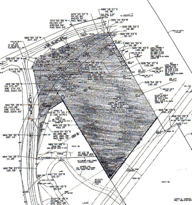
058-0-01-014I
SW/SIDE HIGHWAY 20
Residentialacreage
Rockdale
A
Georgia
13247C0040D
1.89 AC
2024
I-20 East/Conyers
2024
Atlanta
060407
DEMOGRAPHICS near Highway 20 Ne
1 Mile
3 Mile
5 Mile
2024 Total Population
2,079
21,403
71,670
2029 Population
2,164
22,538
75,383
Pop Growth 2024-2029
+ 4.09%
+ 5.30%
+ 5.18%
Average Age
37
38
38
2024 Total Households
647
6,818
23,148
HH Growth 2024-2029
+ 4.17%
+ 5.43%
+ 5.30%
Median Household Inc
$97,680
$88,870
$81,281
Avg Household Size
3.10
3.10
3.00
2024 Avg HH Vehicles
2.00
2.00
2.00
Median Home Value
$255,622
$258,503
$260,830
Median Year Built
2000
2000
1994
Nearby Places
Map Layers
Map Styles
 Street
 Aerial
- Restaurants
- Banks
- Shops
- Fitness
- Groceries
PUBLIC TRANSPORTATION
AIRPORT
Hartsfield - Jackson Atlanta International
DRIVE
WALK
Distance
Hartsfield - Jackson Atlanta International
49 min
32.5 mi
Freight Ports
Georgia Ports - Savannah
DRIVE
WALK
Distance
Georgia Ports - Savannah
292 min
247.5 mi
SALE & LEASE HISTORY
LISTING DATE
SALE/LEASE

Sep 25, 2016
For Lease
Oct 14, 2022
For Sale
Nearby Properties
Address
Land Use
TOTAL SIZE
Lot Size
Zoning
Address
Land Use
TOTAL SIZE
Lot Size
Zoning
23,692 SF
112.46 AC
RA200
Address
Land Use
TOTAL SIZE
Lot Size
Zoning
151,922 SF
18.19 AC
R100
Address
Land Use
TOTAL SIZE
Lot Size
Zoning
350.63 AC
R100
Address
Land Use
TOTAL SIZE
Lot Size
Zoning
1,296 SF
65.93 AC
R100
Address
Land Use
TOTAL SIZE
Lot Size
Zoning
42,183 SF
11.87 AC
C2
Address
Land Use
TOTAL SIZE
Lot Size
Zoning
36.74 AC
R100
Address
Land Use
TOTAL SIZE
Lot Size
Zoning
20,812 SF
16.29 AC
R100
Address
Land Use
TOTAL SIZE
Lot Size
Zoning
653.65 AC
WP
Address
Land Use
TOTAL SIZE
Lot Size
Zoning
2,400 SF
10.77 AC
R100
Address
Land Use
TOTAL SIZE
Lot Size
Zoning
7,664 SF
1.32 AC
C1
Address
Land Use
TOTAL SIZE
Lot Size
Zoning
6,000 SF
2 AC
C1
Address
Land Use
TOTAL SIZE
Lot Size
Zoning
14,900 SF
6.68 AC
R100
Address
Land Use
TOTAL SIZE
Lot Size
Zoning
8,052 SF
9.44 AC
R100
Address
Land Use
TOTAL SIZE
Lot Size
Zoning
9,504 SF
0.81 AC
C1
Address
Land Use
TOTAL SIZE
Lot Size
Zoning
100.56 AC
R100
Address
Land Use
TOTAL SIZE
Lot Size
Zoning
7,858 SF
7.69 AC
R100
Address
Land Use
TOTAL SIZE
Lot Size
Zoning
5,500 SF
2.11 AC
C1
Address
Land Use
TOTAL SIZE
Lot Size
Zoning
3,800 SF
1.70 AC
C2
Address
Land Use
TOTAL SIZE
Lot Size
Zoning
6,000 SF
53.59 AC
A2 B3
Address
Land Use
TOTAL SIZE
Lot Size
Zoning
6,600 SF
4.95 AC
C1
Address
Land Use
TOTAL SIZE
Lot Size
Zoning
2,856 SF
14.36 AC
A1
Address
Land Use
TOTAL SIZE
Lot Size
Zoning
2,790 SF
51.37 AC
R100
Address
Land Use
TOTAL SIZE
Lot Size
Zoning
16,994 SF
18.85 AC
B2 B3
Address
Land Use
TOTAL SIZE
Lot Size
Zoning
4,696 SF
3.70 AC
C1
Address
Land Use
TOTAL SIZE
Lot Size
Zoning
9,000 SF
21 AC
AR/WP
Address
Land Use
TOTAL SIZE
Lot Size
Zoning
550 SF
51.57 AC
B3
Address
Land Use
TOTAL SIZE
Lot Size
Zoning
6,099 SF
2.04 AC
C2
Address
Land Use
TOTAL SIZE
Lot Size
Zoning
10,560 SF
2 AC
C1
Address
Land Use
TOTAL SIZE
Lot Size
Zoning
7,200 SF
7.80 AC
R100
Address
Land Use
TOTAL SIZE
Lot Size
Zoning
57.21 AC
R100
The World's #1 Commercial Real Estate Marketplace
Connect with us
© 2025 CoStar Group
The information above has been obtained from sources believed reliable. While we do not doubt its accuracy we have not verified it and make no guarantee, warranty or representation about it. It is your responsibility to independently confirm its accuracy and completeness. Any projections, opinions, assumptions, or estimates used are for example only and do not represent the current or future performance of the property. The value of this transaction to you depends on tax and other factors which should be evaluated by your tax, financial, and legal advisors. You and your advisors should conduct a careful, independent investigation of the property to determine to your satisfaction the suitability of the property for your needs.