Property Record
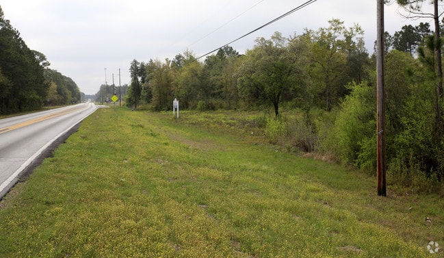
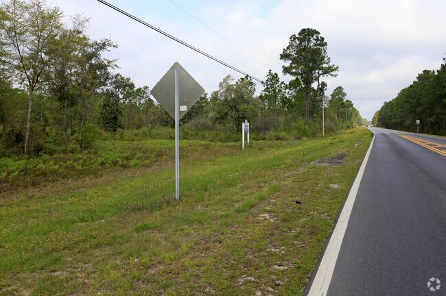
Highway 2321, Panama City, FL 32404

NEARBY LISTINGS FOR SALE OR LEASE
Property Detail
Highway 2321
Panama City, FL
Waters Edge
08710-000-000
1/12 3S 14W -1- 557 AC M/L COM AT THE NE COR SEC 12 TH S 326.27 W 605.83 N 306.87 TO POB TH CONT N 952.11 TH W 140.27 N 2067.18 N54 DEG W 598.19 N35 DEG E 278.32 N54 DEG W 252.37 N35 DEG E 688.70 N54 DEG W 2643.22 S 1193 M/L TO WATERS EDGE OF BAYOU
Vacantlandnec
Bay
AE
Florida
12005C0240J
1
2023
453.24 AC
2024
Panama City
000500
Other Market Areas
DEMOGRAPHICS near Highway 2321
1 Mile
3 Mile
5 Mile
2024 Total Population
277
13,693
39,862
2029 Population
305
14,626
42,014
Pop Growth 2024-2029
+ 10.11%
+ 6.81%
+ 5.40%
Average Age
42
41
40
2024 Total Households
100
4,794
14,405
HH Growth 2024-2029
+ 11.00%
+ 7.28%
+ 5.74%
Median Household Inc
$115,908
$84,588
$69,617
Avg Household Size
2.70
2.70
2.60
2024 Avg HH Vehicles
3.00
2.00
2.00
Median Home Value
$332,812
$279,851
$233,333
Median Year Built
1997
1994
1993
Nearby Places
Map Layers
Map Styles
 Street
 Aerial
- Restaurants
- Banks
- Shops
- Fitness
- Groceries
PUBLIC TRANSPORTATION
AIRPORT
Northwest Florida Beaches International
DRIVE
WALK
Distance
Northwest Florida Beaches International
27 min
17.7 mi
Freight Ports
Port of Panama City
DRIVE
WALK
Distance
Port of Panama City
21 min
12.7 mi
SALE & LEASE HISTORY
LISTING DATE
SALE/LEASE

Feb 25, 2019
For Sale
Nearby Properties
Address
Land Use
TOTAL SIZE
Lot Size
Zoning
Address
Land Use
TOTAL SIZE
Lot Size
Zoning
277,246 SF
16 AC
BC15
Address
Land Use
TOTAL SIZE
Lot Size
Zoning
271,159 SF
24.36 AC
PC16
Address
Land Use
TOTAL SIZE
Lot Size
Zoning
185,884 SF
24 AC
BC15
Address
Land Use
TOTAL SIZE
Lot Size
Zoning
350,458 SF
16.29 AC
UND
Address
Land Use
TOTAL SIZE
Lot Size
Zoning
123,392 SF
15 AC
BC14
Address
Land Use
TOTAL SIZE
Lot Size
Zoning
75,725 SF
4.58 AC
Address
Land Use
TOTAL SIZE
Lot Size
Zoning
112,836 SF
20 AC
UND
Address
Land Use
TOTAL SIZE
Lot Size
Zoning
89,000 SF
4.65 AC
BC15
Address
Land Use
TOTAL SIZE
Lot Size
Zoning
241.76 AC
BC01
Address
Land Use
TOTAL SIZE
Lot Size
Zoning
41,519 SF
60 AC
UND
Address
Land Use
TOTAL SIZE
Lot Size
Zoning
53,562 SF
14.22 AC
Address
Land Use
TOTAL SIZE
Lot Size
Zoning
57,807 SF
11.64 AC
UND
Address
Land Use
TOTAL SIZE
Lot Size
Zoning
108,544 SF
35.95 AC
PI
Address
Land Use
TOTAL SIZE
Lot Size
Zoning
45,503 SF
4.83 AC
BC14
Address
Land Use
TOTAL SIZE
Lot Size
Zoning
39,632 SF
6.45 AC
PC09
Address
Land Use
TOTAL SIZE
Lot Size
Zoning
93,340 SF
6.75 AC
BC15
Address
Land Use
TOTAL SIZE
Lot Size
Zoning
265.26 AC
R1
Address
Land Use
TOTAL SIZE
Lot Size
Zoning
80,004 SF
10 AC
BC14
Address
Land Use
TOTAL SIZE
Lot Size
Zoning
45,836 SF
8.99 AC
BC05
Address
Land Use
TOTAL SIZE
Lot Size
Zoning
76,921 SF
12 AC
BC06
Address
Land Use
TOTAL SIZE
Lot Size
Zoning
42,809 SF
0.77 AC
PSP
Address
Land Use
TOTAL SIZE
Lot Size
Zoning
27,750 SF
1.90 AC
Address
Land Use
TOTAL SIZE
Lot Size
Zoning
2,895 SF
97.83 AC
Address
Land Use
TOTAL SIZE
Lot Size
Zoning
40,555 SF
37.50 AC
BC14
Address
Land Use
TOTAL SIZE
Lot Size
Zoning
3,192 SF
23.53 AC
C3A
Address
Land Use
TOTAL SIZE
Lot Size
Zoning
24,134 SF
5.17 AC
UND
Address
Land Use
TOTAL SIZE
Lot Size
Zoning
57,580 SF
4.01 AC
BC05
Address
Land Use
TOTAL SIZE
Lot Size
Zoning
31,236 SF
41.49 AC
UND
Address
Land Use
TOTAL SIZE
Lot Size
Zoning
1,600 SF
14.26 AC
BC15
The World's #1 Commercial Real Estate Marketplace
Connect with us
© 2025 CoStar Group
The information above has been obtained from sources believed reliable. While we do not doubt its accuracy we have not verified it and make no guarantee, warranty or representation about it. It is your responsibility to independently confirm its accuracy and completeness. Any projections, opinions, assumptions, or estimates used are for example only and do not represent the current or future performance of the property. The value of this transaction to you depends on tax and other factors which should be evaluated by your tax, financial, and legal advisors. You and your advisors should conduct a careful, independent investigation of the property to determine to your satisfaction the suitability of the property for your needs.