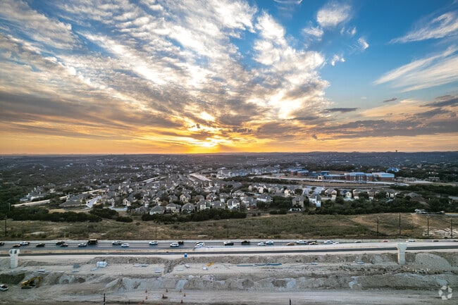
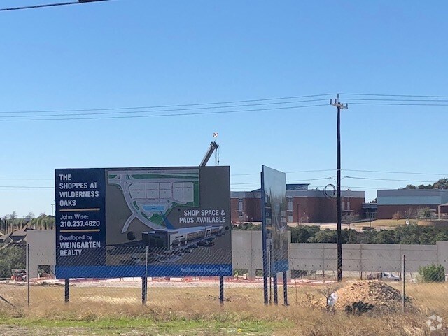
Property Record
Highway 281, San Antonio, TX 78260

Property Detail
Highway 281
San Antonio-New Braunfels, TX
CB 4900 P-56 (5.1778 AC) ABS 54 & CB 4926 P-9 (3.2122 AC) ABS 113 2019-REMAINS PER PLAT 20001/583-584 FILED 11-26-18 & 2019-NEW PER SPLIT PER 20190011087 EXE 12-4-18, FILED 1-22-2019 (12.077 AC TO STATE OF TEXAS). JF/GIS/3-14-2019.. JLF/GIS/2-20-2019
04900-000-0560
BEXAR
Vacantlandnec
Texas
B and X Area of moderate flood hazard, usually the area between the limits of the 100-year and 500-year floods.
79
2024
8.39 AC
2025
Far North Central
191804
San Antonio
NEARBY LISTINGS FOR SALE OR LEASE
DEMOGRAPHICS near Highway 281
1 mile
3 mile
5 mile
2025 Total Population
6,767
73,502
151,472
2030 Population
7,280
77,617
160,756
Pop Growth 2025-2030
+ 7.58%
+ 5.60%
+ 6.13%
Average Age
36
37
38
2025 Total Households
2,279
24,954
53,146
HH Growth 2025-2030
+ 7.85%
+ 5.81%
+ 6.29%
Median Household Inc
$108,228
$125,102
$120,863
Avg Household Size
3.00
2.90
2.80
2025 Avg HH Vehicles
2.00
2.00
2.00
Median Home Value
$580,808
$459,104
$444,722
Median Year Built
2008
2007
2006
Nearby Places
Map Layers
Map Styles
 Street
 Aerial
Transit
 Traffic
 Biking
Places
Listings with unknown addresses are not visible on the map
- Restaurants
- Banks
- Shops
- Fitness
- Groceries
PUBLIC TRANSPORTATION
AIRPORT
San Antonio International
Drive
Walk
Distance
San Antonio International
14 min
11.2 mi
Nearby Properties
Address
Land Use
TOTAL SIZE
Lot Size
Zoning
Address
Land Use
TOTAL SIZE
Lot Size
Zoning
390,736 SF
31.72 AC
Address
Land Use
TOTAL SIZE
Lot Size
Zoning
116,135 SF
17.35 AC
Address
Land Use
TOTAL SIZE
Lot Size
Zoning
5,687 SF
19.39 AC
Address
Land Use
TOTAL SIZE
Lot Size
Zoning
391,871 SF
17.94 AC
Address
Land Use
TOTAL SIZE
Lot Size
Zoning
352,144 SF
29.83 AC
Address
Land Use
TOTAL SIZE
Lot Size
Zoning
325,041 SF
25.31 AC
Address
Land Use
TOTAL SIZE
Lot Size
Zoning
115.46 AC
Address
Land Use
TOTAL SIZE
Lot Size
Zoning
225,204 SF
32.21 AC
Address
Land Use
TOTAL SIZE
Lot Size
Zoning
283,877 SF
22.15 AC
Address
Land Use
TOTAL SIZE
Lot Size
Zoning
225,819 SF
23.29 AC
Address
Land Use
TOTAL SIZE
Lot Size
Zoning
364,026 SF
27.34 AC
Address
Land Use
TOTAL SIZE
Lot Size
Zoning
280,330 SF
20.99 AC
Address
Land Use
TOTAL SIZE
Lot Size
Zoning
159,671 SF
15.69 AC
Address
Land Use
TOTAL SIZE
Lot Size
Zoning
123,938 SF
27.21 AC
Address
Land Use
TOTAL SIZE
Lot Size
Zoning
309,507 SF
14.95 AC
Address
Land Use
TOTAL SIZE
Lot Size
Zoning
323,716 SF
19.74 AC
Address
Land Use
TOTAL SIZE
Lot Size
Zoning
317,041 SF
26.69 AC
Address
Land Use
TOTAL SIZE
Lot Size
Zoning
154,937 SF
22 AC
Address
Land Use
TOTAL SIZE
Lot Size
Zoning
364,922 SF
23.73 AC
Address
Land Use
TOTAL SIZE
Lot Size
Zoning
408,619 SF
71.19 AC
Address
Land Use
TOTAL SIZE
Lot Size
Zoning
295,562 SF
13.28 AC
Address
Land Use
TOTAL SIZE
Lot Size
Zoning
296,413 SF
15 AC
Address
Land Use
TOTAL SIZE
Lot Size
Zoning
108,380 SF
18.58 AC
Address
Land Use
TOTAL SIZE
Lot Size
Zoning
203,979 SF
11.13 AC
Address
Land Use
TOTAL SIZE
Lot Size
Zoning
175,966 SF
16.61 AC
Address
Land Use
TOTAL SIZE
Lot Size
Zoning
203,966 SF
7.52 AC
Address
Land Use
TOTAL SIZE
Lot Size
Zoning
183,158 SF
7.46 AC
Address
Land Use
TOTAL SIZE
Lot Size
Zoning
155,100 SF
11.43 AC
Address
Land Use
TOTAL SIZE
Lot Size
Zoning
128,042 SF
5.35 AC
Address
Land Use
TOTAL SIZE
Lot Size
Zoning
117,852 SF
18.95 AC
The World's #1 Commercial Real Estate Marketplace
Connect with us
© 2026 CoStar Group
The information above has been obtained from sources believed reliable. While we do not doubt its accuracy we have not verified it and make no guarantee, warranty or representation about it. It is your responsibility to independently confirm its accuracy and completeness. Any projections, opinions, assumptions, or estimates used are for example only and do not represent the current or future performance of the property. The value of this transaction to you depends on tax and other factors which should be evaluated by your tax, financial, and legal advisors. You and your advisors should conduct a careful, independent investigation of the property to determine to your satisfaction the suitability of the property for your needs.